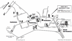
Nasa Center Langley Map
202 miles away

Hunt Hollow Ski Trail Map
Trail map from Hunt Hollow.
202 miles away
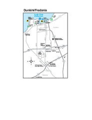
Dunkirk and Fredonia, New York Map
Tourist map of Dunkirk, New York, and Fredonia, New York. Shows shops, parks, lodging and other...
202 miles away
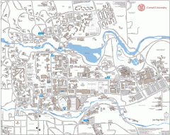
Cornell Campus Map
Map of Cornell University's Ithaca campus
202 miles away

Harvey Cedars, New Jersey Map
202 miles away
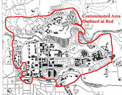
Map of Water contamination at Cornell University...
202 miles away
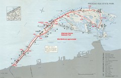
Erie Marathon Course Park Map
Map of marathon course and alternate course sidewalk trail for Erie Marathon in Presque Isle State...
202 miles away
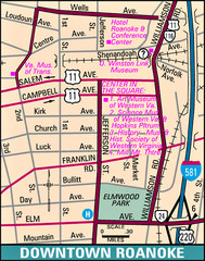
Roanoke, Virginia City Map
203 miles away
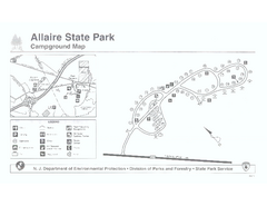
Allaire State Park campground map
Campground map for Allaire State Park in Vermont
203 miles away
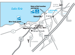
Silver Creek and Irving Map
Tourist map of Silver Creek and Irving, New York. Shows shops, boat ramps, and marinas.
204 miles away
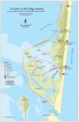
Island Beach State Park Canoe and Kayak map
Canoe and kayak guide to the Sedge islands in Island Beach State Park near Barnegat Bay, NJ. The...
204 miles away
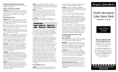
Smith Mountain Lake State Park Map
Hiking, horse back, fishing and more are all available at this amazing state park.
204 miles away
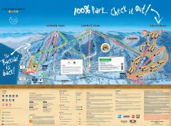
Mountain Creek Ski Trail Map
Official ski trail map of Mountain Creek ski area from the 2007-2008 season. (formerly Vernon...
205 miles away
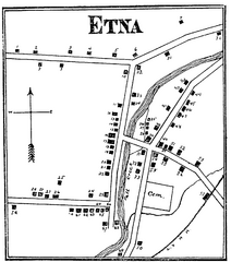
Etna 1897 City Map
Key to the Map of Etna (1897) 1. Mrs. C. Turner. 38. Blacksmith Shop. 2. J. T. Primrose. 39. Houtz...
206 miles away

Mountain Creek South Ski Trail Map
Trail map from Mountain Creek.
206 miles away
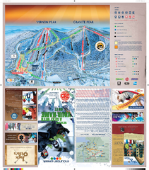
Mountain Creek North Ski Trail Map
Trail map from Mountain Creek.
206 miles away
Kiptopek State Park Map
Informative map and legend of this amazing state park.
207 miles away
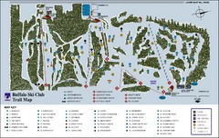
Buffalo Ski Club Trail Map
207 miles away

Hidden Valley Ski Trail Map
Trail map from Hidden Valley.
207 miles away
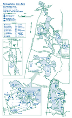
Portage Lakes State Park map
Detailed recreation map for Portage Lakes area in Ohio
207 miles away
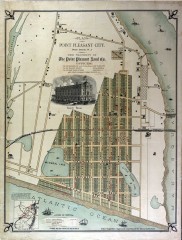
Antique map of Point Pleasant from 1880
Antique map of Point Pleasant, New Jersey from c. 1880.
208 miles away
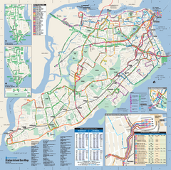
Staten Island Bus Map
Official Bus Map of Staten Island. Shows all routes.
208 miles away

Staten Island Subway/Railway Map
208 miles away
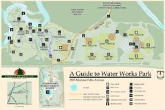
Waterworks Park Map
209 miles away
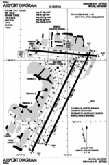
Newark Liberty International Airport Map
209 miles away

Bristol Mountain Ski Resort Ski Trail Map
Trail map from Bristol Mountain Ski Resort.
209 miles away
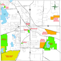
Aurora City Parks Map
Map of city parks in Aurora, Ohio.
209 miles away

Digital Elevation Model (DEM) of Conesus Lake Map
Digital Elevation Model (DEM) of Conesus Lake Map created in ARC Gis
209 miles away
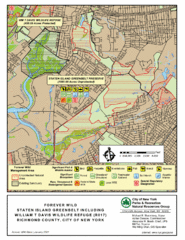
Staten Island Greenbelt Map
210 miles away
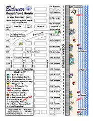
Belmar Tourist Map
Tourist map of Belmar, New Jersey beachfront. Shows beach services.
210 miles away
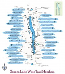
Seneca Lake Wine Trail Map
Winery tour map of Seneca Lake area in New York. Shows all vineyards that are members of the wine...
210 miles away
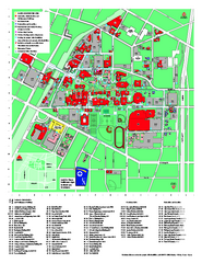
University of Akron Main Campus Map
University of Akron Main Campus Map. All buildings shown.
210 miles away
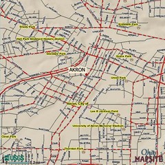
Akron, Ohio City Map
210 miles away
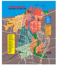
Ashtabula Tourist Map
Tourist map of Ashtabula, Ohio, situated on Lake Erie. Shows wards, notable sites, boating info...
210 miles away
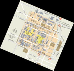
Rutgers University Map
210 miles away
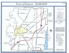
Geneseo Town Map
211 miles away
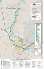
Newark Light Rail system Map
Newark Light rail system
211 miles away

Greek Peak Ski Resort Ski Trail Map
Trail map from Greek Peak Ski Resort.
212 miles away
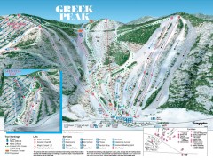
Greek Peak Ski Trail Map
Official ski trail map of Greek Peak ski area from the 2006-2007 season.
212 miles away
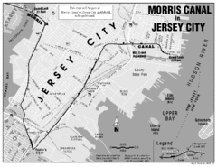
Jersey City Map
214 miles away

