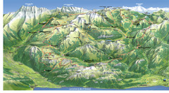
Acqui Termi Map
120 miles away

Arles Map
121 miles away
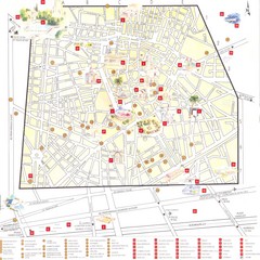
Nimes - centre Map
121 miles away

Nimes Map
121 miles away
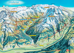
Lötschental Lauchernalp Summer Trail Map
Summer trail map of Lötschental Valley area. Shows hiking trails, towns, and mountains. The...
123 miles away
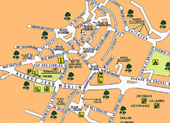
Signes Map
124 miles away

Alessandria Map
125 miles away
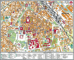
Novara Map
126 miles away
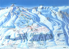
Lötschental (Wiler) Ski Trail Map
Trail map from Lötschental (Wiler), which provides downhill skiing.
127 miles away
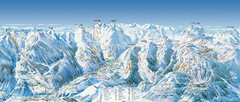
Val d’Allos—La Foux Ski Trail Map
Trail map from Val d’Allos—La Foux.
128 miles away
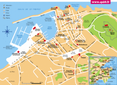
St. Tropez Tourist Map
Tourist map of Saint Tropez, France. Shows points of interest. Inset shows surrounding area.
128 miles away
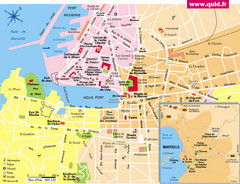
Marseille Tourist Map
Tourist map of central Marseille, France. Inset shows surrounding area. Shows points of interest.
129 miles away
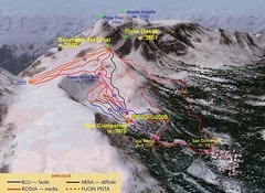
Alpe Ciamporino Ski Trail Map
Trail map from Alpe Ciamporino, which provides downhill skiing. It has 6 lifts. This ski area has...
130 miles away

Monterosa (Aosta) ski map
130 miles away
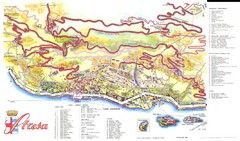
Stresa Map
131 miles away
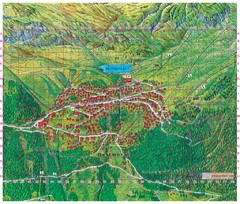
Bettmeralp Summer Map
Summer tourist map of town of Bettmeralp, Switzerland. With reference grid.
131 miles away
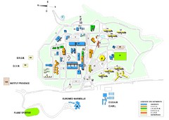
Luminy Campus Map
A map of the scientific campus of Luminy, Marsielle.
132 miles away
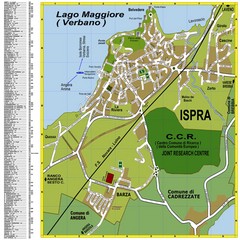
Ispra Town Map
Town map of Ispra, Italy on east side of Lake Maggiore (Lombardy region, Northern Italy). With...
133 miles away
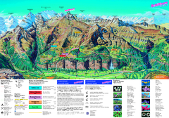
Schilthorn Summer Trail Map
Summer hiking map of Mürren-Schilthorn area. Shows lifts and trails.
133 miles away
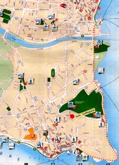
Verbania Pallatzo City Map
City map of Verbania-Pallanza, Italy on Lago Maggiore
133 miles away
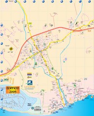
La Londe Tourist Map
Tourist map of La Londe, France. Shows services, businesses, and points of interest.
135 miles away
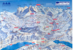
Jungfrau Map
135 miles away
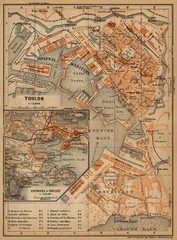
Toulon Map
The following maps are from "Southern France Including Corsica; Handbook for Travellers"...
136 miles away
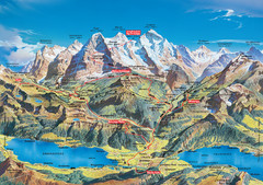
Jungfrau Grindelwald region summer map
This map is a summer panorama looking south from Interlaken toward the Jungfrau, Eiger, and the...
138 miles away
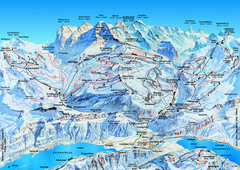
Jungfrauregion (Mürren, Wengen, Grindelwald) Ski...
Trail map from Jungfrauregion (Mürren, Wengen, Grindelwald), which provides downhill skiing.
139 miles away
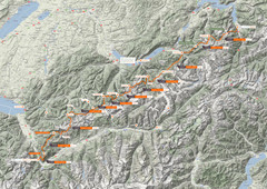
Swiss Alps Trail Map
Around Interlaken, Switzerland.
140 miles away
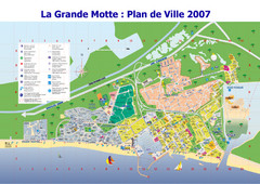
La Grande Motte Tourist Map
Tourist map of La Grande Motte, France. Shows beaches, hotels, and other points of interest.
145 miles away
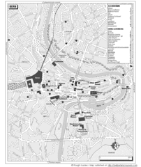
Bern Tourist Map
Tourist map of Bern, Switzerland. Shows museums, accommodations, eating, and drinking spots
145 miles away
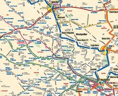
Montpellier City Tourist Map
Tourist map of Montpellier
146 miles away
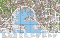
Genoa Tourist Map
Tourist map of center of Genoa, Italy (Genova). Drawing shows all buildings and legend has top 10...
147 miles away

Beaune index for gen & hist maps Map
147 miles away
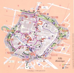
Beaune ville historique Map
147 miles away

Beaune plan general Map
147 miles away

Beaune centre Map
147 miles away
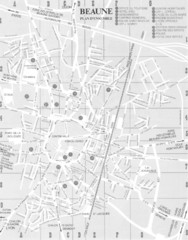
Beaune environs Map
147 miles away
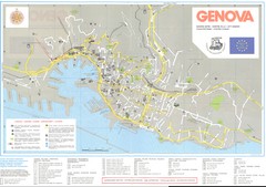
Genova Map
148 miles away
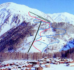
Hungerberg Ski Trail Map
Trail map from Hungerberg, which provides downhill skiing. It has 3 lifts. This ski area has its...
149 miles away
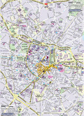
Montpellier Tourist Map
Tourist map of Montpellier, France. Shows points of interest.
149 miles away
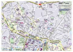
Montpellier Tourist Map
Tourist street map of Montpellier
149 miles away

