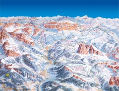
Val Gardena Ski Trail Map
Trail map from Val Gardena.
288 miles away
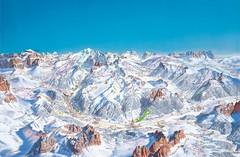
Canazei Campitello Ski Trail Map
Ski trail map of Canazei-Campitello area in the Italian Dolomites.
288 miles away
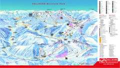
Pal Arinsal Ski Trail Map
Ski trail map of Pal Arinsal and Ordino-Arcalis in the Pyrenees of Andorra.
289 miles away
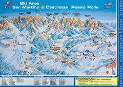
San Martino di Cartozza Ski Trail Map
Ski trail map of San Martino di Cartozza, Italy
289 miles away
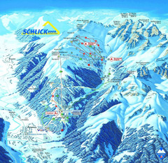
Fulpmes Ski Trail Map
Trail map of Fulpmes ski area in the Stubai Alps near Fulpmes, Austria. Schlick 2000
289 miles away
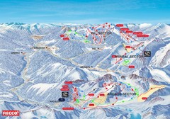
Vallnord Piste Map
289 miles away
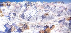
Campitello di Fassa Ski Map
289 miles away
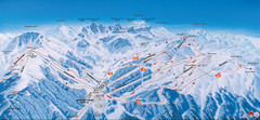
Axamer Lizum Ski Trail Map
Trail map from Axamer Lizum.
290 miles away
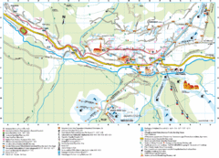
Santa Cristina Tourist Map
Tourist map of town of Santa Cristina Val Gardena, Italy. Santa Cristina lies on the sunny side of...
290 miles away
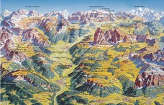
Val Gardena Summer Trail Map
Summer panoramic trail map of the Val Gardena, Italy area in the heart of the Dolomite Mountains...
290 miles away
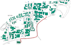
Universität Stuttgart Campus Map
In Stuttgart, Germany
290 miles away
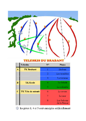
Brabant Ski Trail Map
Trail map from Brabant.
292 miles away
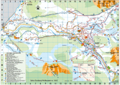
Selva Gardena Tourist Map
Tourist map of Selva Gardena, Italy, a popular skiing and hiking destination in the Italian Alps.
292 miles away
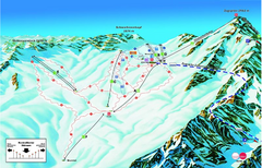
Garmisch Partenkirchen Ski Trail Map
Trail map from Garmisch Partenkirchen.
292 miles away
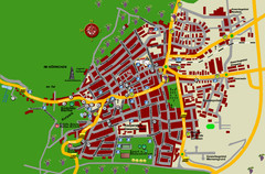
Bad Bergzabern Tourist Map
Tourist street map of Bad Bergzabern
292 miles away
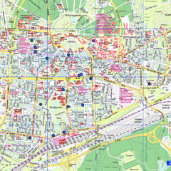
Karlsruhe Tourist Map
Tourist map of Karlsruhe
293 miles away
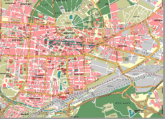
Karlsruhe Map
City street map of Karlsruhe
293 miles away
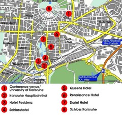
Karlsruhe Hotel Map
293 miles away
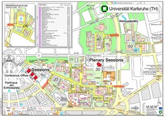
Karlsruhe University Campus Map
Campus map of Universität Karlsruhe, the oldest Technical University in Germany, founded in...
293 miles away
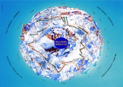
Sella Ronda Ski Tour Map
Shows ski mountaineering tour of Sella Ronda, a circular ski route leading around the mighty Sella...
294 miles away
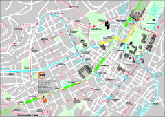
Stuttgart Street Map
Street map of Stuttgart, Germany. Show major buildings and public transport routes.
294 miles away
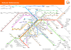
Stuttgart, Nahverkehr Map
294 miles away
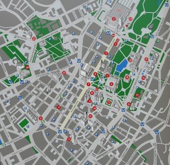
Stuttgart Tourist Map
Tourist street map of Stuttgart center
294 miles away
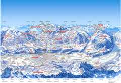
Innsbruck Region Ski Map
Shows ski regions around Innsbruck, Austria
294 miles away
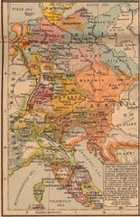
Germany Italy 1803 Map
Germany and Italy in 1803 after the Principle Decree of the Imperial Deputation
295 miles away
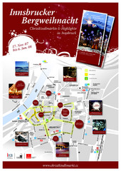
Innsbruck Christmas Markets Map
Christmas market map of Innsbruck, Austria.
296 miles away
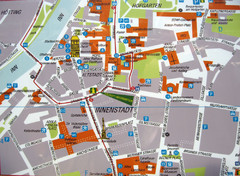
Innsbruck Tourist Map
Tourist map of inner Innsbruck, Austria. Photo of outdoor map.
296 miles away
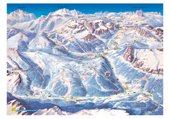
Alta Badia Alta Badia Ski Trail Map
Trail map from Alta Badia, which provides downhill skiing. This ski area has its own website.
296 miles away
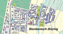
Buechig Map
Street map of town of Buechig
296 miles away

Wuerttembergische Landeskirche Map
Karte der Evang. Landeskirche in Wuerttemberg, The Evangelical-Lutheran Church in Wuerttemberg
296 miles away
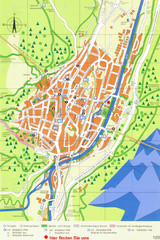
Mittenwald Tourist Map
Tourist street map
297 miles away

Chateaux of the Loire River Valley Map
Chateaus of the Loire River Valley region in France. Stretching from the Atlantic from Nantes to...
297 miles away
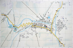
Corvara Town Map
Tourist map of Corvara, Italy in the Dolomites. From photo of sign
297 miles away
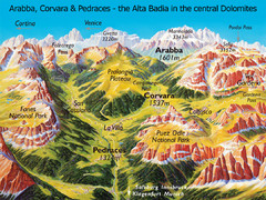
Arabba Corvara Pedraces Summer Map
Summer map of Alta Badia region in Italian Dolomites
297 miles away

Grosseto Map
297 miles away
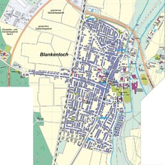
Blankenloch Map
Street map of town of Blankenloch
298 miles away
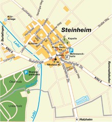
Ulm Steinheim Map
Street map of town of Ulm Steinheim
298 miles away

