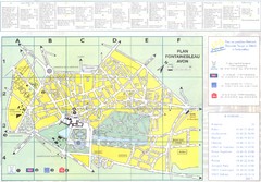
Fontainebleau Avon Map
280 miles away
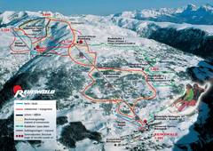
Reinswald Ski Trail Map
Trail map from Reinswald, which provides downhill skiing. It has 4 lifts. This ski area has its own...
280 miles away
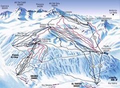
Soldeu, Andorra Piste Ski Map
280 miles away
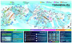
Grand Valira (Pas de la Casa-Grau Roig&mdash...
Trail map from Grand Valira (Pas de la Casa-Grau Roig—Soldeu—El Tarter), which provides...
280 miles away

Grandvalira Ski Map
Ski trail map of Grandvalira
280 miles away
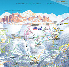
Welschnofen—Karersee (Carezza) Ski Trail Map
Trail map from Welschnofen—Karersee (Carezza), which provides downhill and nordic skiing. This...
281 miles away
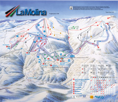
Alp 2500 (La Molina, Masella) Ski Trail Map
Trail map from Alp 2500 (La Molina, Masella).
282 miles away
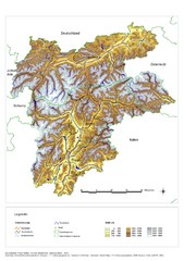
South Tyrol Elevation Map
Physical relief map of the South Tyrol region in present-day borders of Italy and Austria.
282 miles away
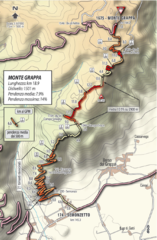
Monte Grappa Giro Stage 14 Cycling Route Map
Cycling route of the climb up Monte Grappa in Stage 14 of the 2010 Giro d'Italia. Averages 8...
282 miles away
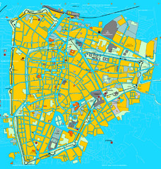
Padova Tourist Map
Tourist map of central Padova (Padua), Italy. Shows major buildings and other tourist information.
283 miles away
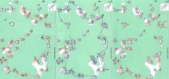
Bois-Rond Bouldering Circuit Map
From summitpost.org: "Bois-Rond is a bouldering area located in the Southern part of the...
283 miles away
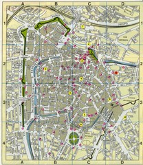
Padova Street Map
Street map of central Padova, Italy. Shows public phones.
283 miles away
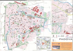
Padova Map
283 miles away
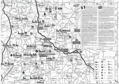
Villebois-Lavalette Tourist Map
Tourist map of Villebois-Lavalette, France and surrounding region. Shows points of interest. In...
284 miles away
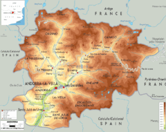
Andorra - Physical Map
284 miles away
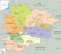
Andorra: political Map
284 miles away

Andorra cities Map
284 miles away
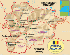
Andorra rough map
284 miles away
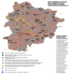
Andorra Long Hiking Routes, Mountain Huts, and...
Shows long hiking trails (grande randonee), mountain hits (refuges), and camping sites in Andorra
284 miles away
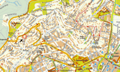
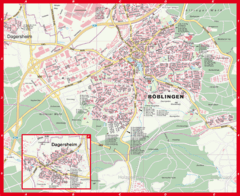
Boblingen Street Map
Street map of Boblingen center
285 miles away
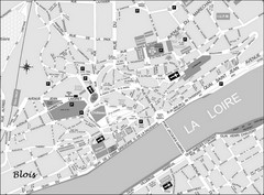
Blois Street Map
285 miles away

Andorra Map
Map of country between France and Spain
285 miles away
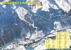
Ladurns Ski Trail Map
Trail map from Ladurns, which provides downhill skiing. This ski area has its own website.
286 miles away
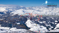
Rosskopf (Vipiteno) Ski Trail Map
Trail map from Rosskopf (Vipiteno), which provides downhill skiing. It has 4 lifts. This ski area...
286 miles away
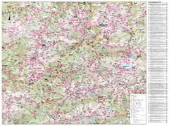
Val di Fassa Hiking Map
Hiking trail map of the Val di Fassa, Italy region. Highly detailed.
287 miles away
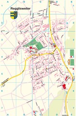
Regglisweiler Map
Map of town of Regglisweiler
287 miles away
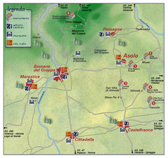
Asolo Italy Area Map
Tourist map of Asolo, Italy surroundings. Shows monuments, art centers, museums, and city walls.
287 miles away
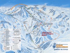
Stubaital Ski Trail Map
Trail map from Stubaital.
287 miles away
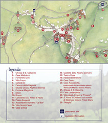
Asolo Town Map
Tourist map of Asolo, Italy. Shows points of interest, panoramic site, and touristic information...
287 miles away
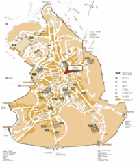
Siena Tourist Map
Tourist map of Siena, Italy. Show streets and points of interest.
287 miles away
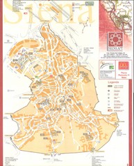
Siena Map
287 miles away
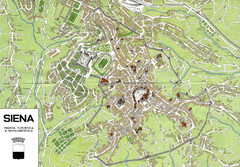
Siena Map
287 miles away
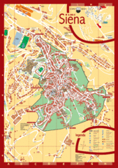
Siena Tourist Map
Tourist map of central Siena, Italy in Tuscany. Shows points of interest.
287 miles away
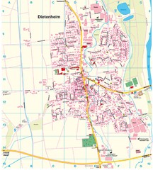
Dietenheim Map
Street map of Dietenheim
287 miles away
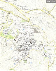
Siena Map
288 miles away

La Massana, Andorra City Map
288 miles away
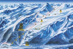
Arinsal Piste, Andorra Skiing Map
288 miles away

