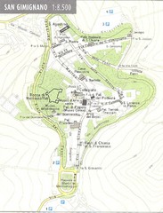
San Gimignano Map
270 miles away
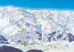
Solden Ski Trail Map
Ski trail map of the Solden ski area in the Tyrol region of Austria.
270 miles away
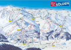
Otztal Ski Trail Map
Trail map from Otztal.
270 miles away
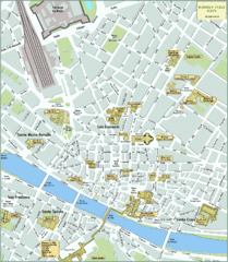
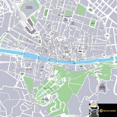
Florence Tourist Map
Shows museums and other points of interest in central Florence, Italy.
271 miles away
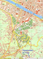
South-West Area of Florence Map
Map of the South-West Area of Florence with the Physics Department of the University of Florence...
271 miles away
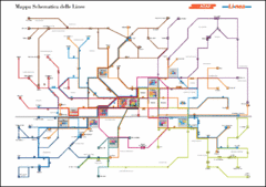
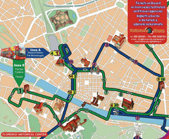
Florence ATAF Bus Line Map
271 miles away
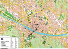
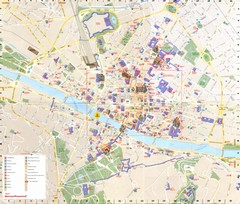
Florence Map
Map of central Florence (Firenze), Italy. Shows drawings of major buildings and has numerical key.
271 miles away
Florence Map
271 miles away
Florence Bus Tour Map
271 miles away
Florence Tourist Map
271 miles away
Florence Tourist Map
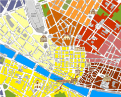
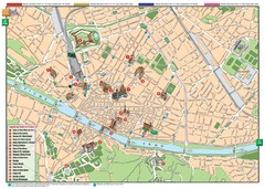
Tourist map of the historical center of Florence, Italy. Shows major attractions.
271 miles away
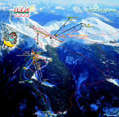
Meran Ski Trail Map
Trail map from Meran 2000, which provides downhill skiing. This ski area has its own website.
271 miles away
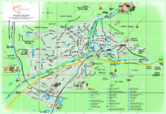
Bolzano Map
271 miles away
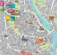
Kempten im Allgäu Tourist Map
Tourist street map of Kempten im Allgäu
272 miles away
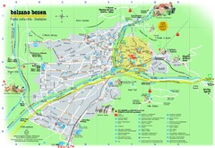
Bolzano Tourist Map
Tourist map of Bolzano, Italy.
272 miles away

Fiesole Map
272 miles away
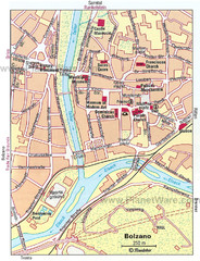
Bolzano centro Map
272 miles away
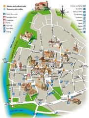
Bolzano tourist map
273 miles away
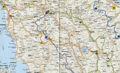
Tuscany Road Map
Road map of Tuscany, Italy. Shows routes of some kind.
273 miles away
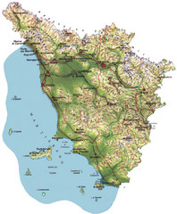
Tuscany Physical Map
Physical map of Tuscany, Italy.
273 miles away
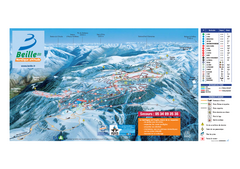
Plateau du Beille Ski Trail Map
Trail map from Beille.
273 miles away
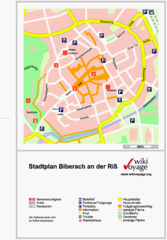
Biberach an der Riß Tourist Map
Tourist map of Biberach an der Riß town center
273 miles away
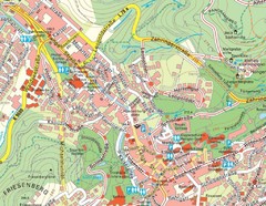
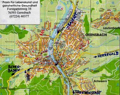
Baden Baden Street Map
Street map of city of Baden Baden
274 miles away

Colle di Val d'Elsa Map
275 miles away
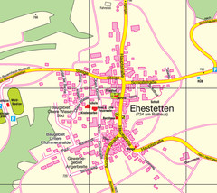
Ehestetten Map
Street map of Ehestetten
275 miles away
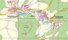
Indelhausen / Anhausen Map
Map of towns of Indelhausen & Anhausen
275 miles away
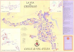
Colle di Val d'Elsa Map
275 miles away
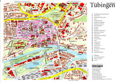
Tübingen Tourist Map
Tourist map of Old Town center of Tübingen
276 miles away
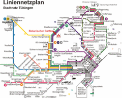
Tubingen Bus Map
Bus routes and connections, Tubingen, Germany. (German).
276 miles away
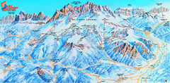
Latemar (Val di Fiemme, Obereggen) Ski Center...
Trail map from Latemar (Val di Fiemme, Obereggen), which provides downhill and nordic skiing. This...
278 miles away
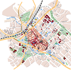
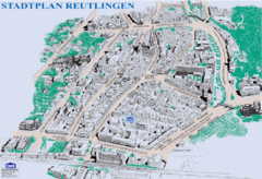
Reutlingen Tourist Map
Tourist street map of Reutlingen
278 miles away
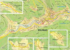
Bad Wildbad Map
Map of Bad Wildbad and surrounding region
279 miles away
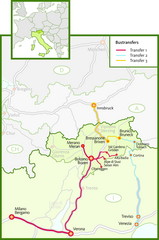
Northern Italy Bustransfer Map
279 miles away
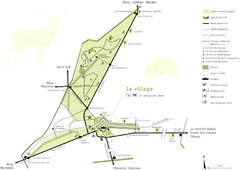
Chateau Chambord Estate Map
Estate map of the famous Chateau Chambord. Largest Chateau in the Loire River Valley.
280 miles away
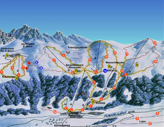
Ratschings / Racines Ski Trail Map
Trail map from Ratschings / Racines.
280 miles away

