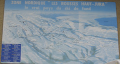
La Vallee des jeux Les Rousses Haut—Jura...
Trail map from La Vallee des jeux.
244 miles away
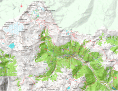
Val di Rabbi Topo Map
Detailed topographic map of Val di Rabbi, Italy on the edge of Stelvio National Park
247 miles away
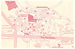
St Cyprien en Perigord Map
247 miles away
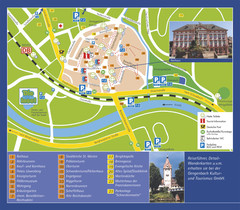
Gengenbach Tourist Map
Tourist map of Gengenbach
247 miles away
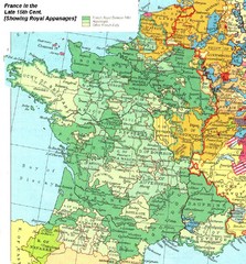
France Late 15th Century Map
France in the Late 15th Century (showing Royal Appanages)
249 miles away

Montopoli Val d'Arno Map
251 miles away
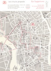
Toulouse - walking tours Map
251 miles away
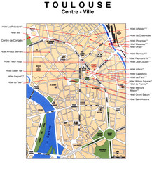
Toulouse Hotel Map
251 miles away
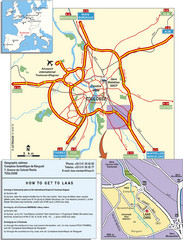
Toulouse Tourist Map
251 miles away
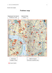
Toulouse Map
251 miles away
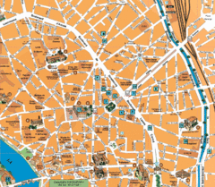
Toulouse Tourist Map
Tourist map of central Toulouse, France. Shows major buildings and hotel locations.
251 miles away
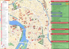
Toulouse Map
251 miles away

Pistoia Map
251 miles away
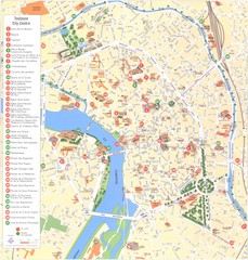
Toulouse - centre Map
251 miles away
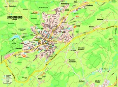
Lindenberg im Allgäu Map
Street map of Lindenberg
252 miles away
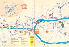
Le Bugue Map
252 miles away
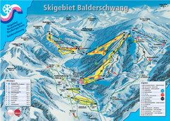
Balderschwang Balderschwang Ski Trail Map
Trail map from Balderschwang.
253 miles away
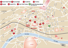
Trento center Map
253 miles away
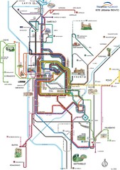
Trento Bus Route Map (Italian)
253 miles away
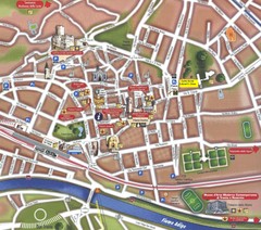
Trento Tourist Map
Tourist map of central Trento, Italy. Shows major buildings.
253 miles away
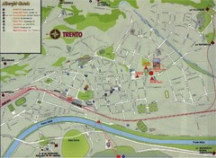
Trento Map
253 miles away

San Miniato Map
254 miles away
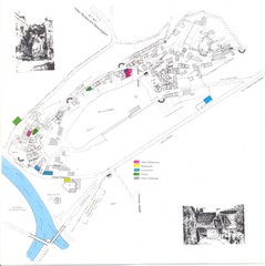
Limeuil Map
254 miles away
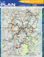
Strasbourg Bus and Tram Map
254 miles away
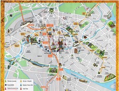
Strassburg Tourist Map
Tourist map of central Strassburg, France. Shows streets, trams, and major buildings. Scanned.
254 miles away
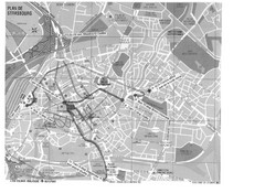
Strasbourg Map
Shows bus and tram itineraries to the Brethren Colleges Abroad office from the train station and...
254 miles away

Strasbourg Map
254 miles away

San Miniato Map
255 miles away
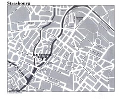
Strasbourg City Map
City map of part of Strasbourg, France. Shows US Consulate.
255 miles away
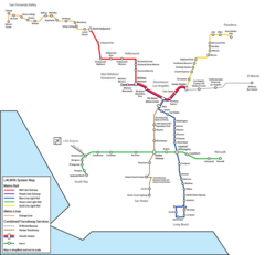
Los Angeles, California Rail System Map
255 miles away

Vinci Map
255 miles away
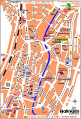
Balingen Tourist Map
Tourist street map of Balingen center
257 miles away
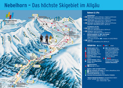
Oberstdorf Ski Trail Map
Trail map from Oberstdorf.
257 miles away
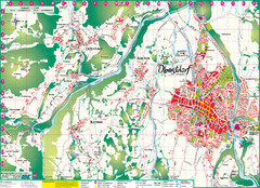
Oberstdorf City Map
City map of Oberstdorf, Germany and surrounding area. Shows buildings and ski lifts. In German.
257 miles away
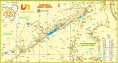
Ultental Deutschnonsberg St. Walburg Tourist Map
Tourist map of the southern Tyrol region around Ultental, Deutschnonsberg, and St. Walburg/ S...
257 miles away
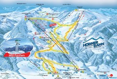
Bolsterlang Ski Trail Map
Trail map from Bolsterlang.
257 miles away
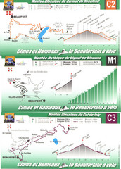
Beaufort Cycling Route Map
Three routes drawn and elevation gains shown for each cycling route in Beaufort, France's...
258 miles away

