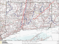
Connecticut Long Distance Trails Map
A map of long distance trails throughout Connecticut. Go to the website below for detailed trail...
56 miles away
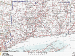
Connecticut Rock Climbing Locations Map
A map of most of the important rock climbing and bouldering areas in Connecticut. Click the link...
56 miles away
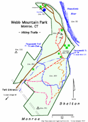
Webb Moutain Park Map
57 miles away
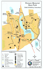
Putnam Memorial State Park map
Trail map for Putnal Memorial State Park in Connecticut,
57 miles away
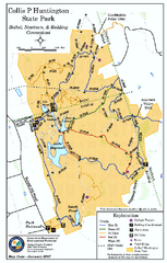
Collis P. Huntington State Park map
Trail map of Collis P. Huntington State Park in Connecticut
57 miles away
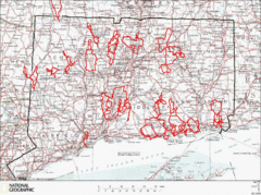
Connecticut Road Cycling Routes Map
A map of road cycling routes throughout Connecticut. Follow the link below for detailed route maps...
58 miles away
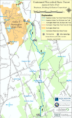
Centennial Watershed State Forest trail map
Trail map of Centennial Watershed State Forest in Connecticut
58 miles away
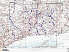
Connecticut Rivers and Coastal Paddling Map
This is a map of paddling areas for rivers and coastal kayaking. Follow the link below for...
58 miles away
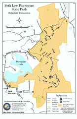
Seth Low Pierrepont State Park Reserve map
Trail map of Seth Low Pierreport State Park in Connecticut.
58 miles away
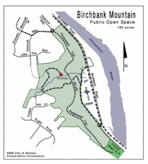
Birchbank Park Map
58 miles away
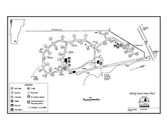
Molly Stark State Park Campground Map
Campground map for Molly State State Park in Vermont
58 miles away
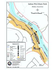
Indian Well State Park map
Trail map for Indian Well State Park in Connecticut.
59 miles away
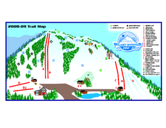
Willard Mountain Ski Area Ski Trail Map
Trail map from Willard Mountain Ski Area.
59 miles away
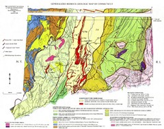
Connecticut Geologic Map
Geologic map of Connecticut bedrock. Shows shaded terranes, fault lines, and Mesozoic formations.
59 miles away
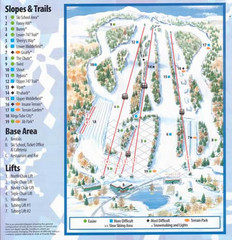
Powder Ridge Ski Area Ski Trail Map
Trail map from Powder Ridge Ski Area.
60 miles away

Palmer Motorsports Park Map
Track Map for Proposed Palmer Motorsports Park
60 miles away
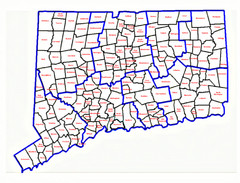
Connecticut Town Map
60 miles away
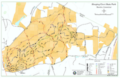
Sleeping Giant State Park map
Trail map for Sleeping Giant State Park in Connecticut.
60 miles away
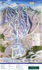
Haystack Club Ski Trail map
Official ski trail map of Haystack ski area from the 2006-2007 season.
60 miles away
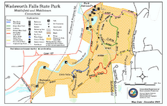
Wadsworth Falls State Park map
Trail map of Wadsworth Falls State Park in Connecticut.
60 miles away
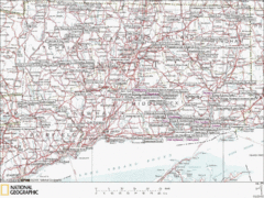
Connecticut Canoeing and Kayaking Lakes Map
A map of the lakes and ponds that are open for canoeing and kayaking in Connecticut. For detailed...
60 miles away
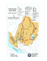
Osbornedale State Park map
Trail map of Osborndale State Park in Connecticut.
60 miles away
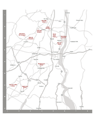
Shawangunk Wine Trail Map
Map of the Shawangunk Wine Trail on the Hudson River in New York. Shows all vineyards and wineries...
61 miles away
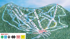
Plattekill Ski Trail Map
Official ski trail map of Plattekill ski area from the 2007-2008 season.
61 miles away
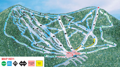
Ski Plattekill Ski Trail Map
Trail map from Ski Plattekill.
61 miles away
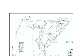
Shaftsbury State Park Map
Campground map of Shaftsbury State Park in Vermont.
61 miles away
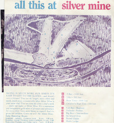
Silver Mine Credit to chris lundquist Ski Trail...
Trail map from Silver Mine, which provides downhill skiing.
61 miles away
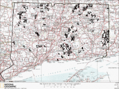
Connecticut State Forests Map
This is a map of all of the state forest boundaries in Connecticut. Follow the source web address...
61 miles away
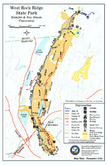
West Rock Ridge State Park map
Trail map of West Rock Ridge State Park in Connecticut.
61 miles away
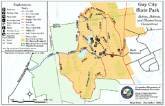
Gay City State Park trail map
Trail map of Gay City State Park in Connecticut.
62 miles away
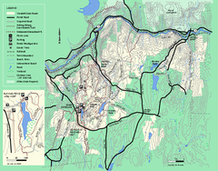
Wendell State Forest trail map
Trail map of Wendell State Forest in Massachusetts.
62 miles away
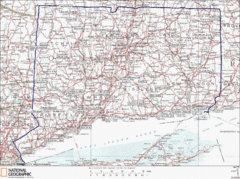
Connecticut State Parks Map
This is statewide map for Connecticut state parks. Go to the source website for detailed hiking...
62 miles away
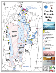
Quabbin Reservoir Fishing Map
Fishing access map of Quabbin Reservoir. Shows all ponds and submerged ponds.
62 miles away
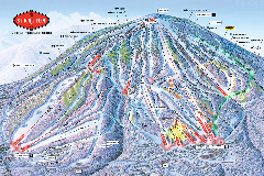
Stratton Mountain Resort Ski Trail Map
Trail map from Stratton Mountain Resort.
62 miles away
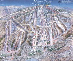
Mount Snow Trail Map 2001
Ski trail map of Mount Snow ski area, estimated 2001
62 miles away
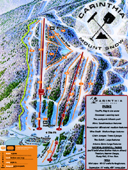
Mount Snow Carinthia Terrain Park Ski Trail Map
Trail map from Mount Snow.
62 miles away
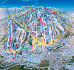
Mount Snow Ski Trail Map - main face
Trail map of main face of Mt Snow ski area near Wilmington, Vermont
62 miles away
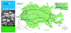
Devil's Den Preserve Map
63 miles away
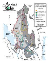
Trout Brook Valley Map
63 miles away
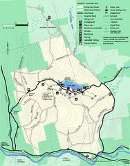
Erving Summer trail map
Summer use map of Erving State Park in Massachusetts.
64 miles away

