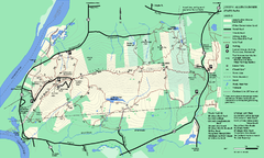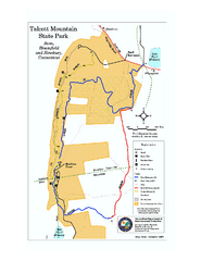
Talcott Mountain State Park map
Trail map of Talcott Mountain State Park in Connecticut.
42 miles away
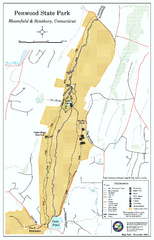
Penwood State Park map
Trail map of Penwood State Park in Connecticut.
42 miles away
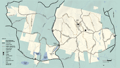
Kenneth Dubuque Memorial State Park trail map
Trail map of the Kenneth Dubuque state park conservation area in Massachusetts.
42 miles away
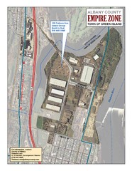
Green Island Map
Aerial town map of Green Island, New York on the Hudson River
42 miles away
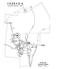
Onteora District Map
Boy Scouts Map of Onteora
43 miles away
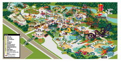
Six Flags New England Theme Park Map
Official Park Map of Six Flags New England in Massachusetts.
43 miles away
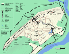
Mt. Tom State Reservation trail map
Trail map of Mt. Tom State Reservation
43 miles away
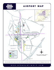
Albany International Airport Map
Official Map of the Albany International Airport in New York. Shows all terminals.
43 miles away
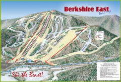
Berkshire East Ski Trail Map
Official ski trail map of Berkshire East ski area from the 2007-2008 season.
44 miles away
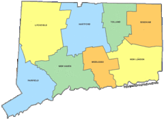
Connecticut Counties Map
44 miles away
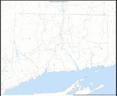
Connecticut Zip Code Map
Check out this Zip code map and every other state and county zip code map zipcodeguy.com.
44 miles away
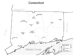
Conneticut Airports Map
44 miles away
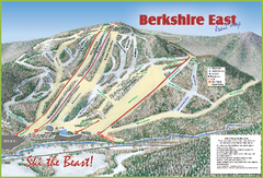
Berkshire East Ski Area Ski Trail Map
Trail map from Berkshire East Ski Area.
44 miles away
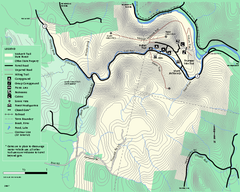
Mohawk Trail State Forest map
Map of the Mohawk Trail State Forest in Charlemont, Massachusetts.
44 miles away
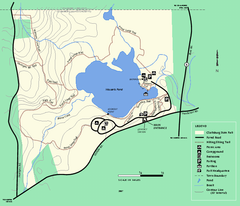
Clarksburg State Park trail map
Trail map of Clarksburg State Park in Massachusetts.
44 miles away
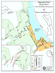
Squantz Pond State Park map
Trail and campground map for Squantz Pond State Park in Connecticut.
45 miles away
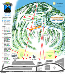
Thunder Ridge Ski Trail Map
Trail map from Thunder Ridge.
46 miles away
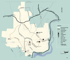
Monroe State Forest trail map
Trail map of Monroe State Forest in Massachusetts.
46 miles away
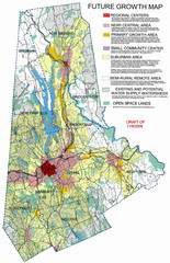
Danbury Regional Growth Map
Guide to future growth of Danbury, CT and surrounds
46 miles away
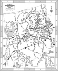
Middlebury, Connecticut Map
48 miles away
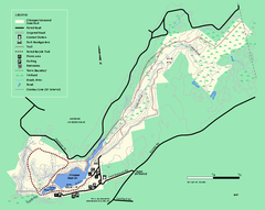
Chicopee State Park trail map
Chicopee State Park trail map
48 miles away
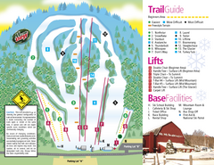
Mt. Southington Ski Area Ski Trail Map
Trail map from Mt. Southington Ski Area, which provides downhill, night, and terrain park skiing...
49 miles away
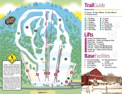
Mount Southington Ski Trail Map
Official ski trail map of Mount Southington ski area from the 2007-2008 season.
49 miles away

Wadsworth Athenium Museum Location Map
Wadsworth Athenium visitor location map with locations of major buildings, streets, parks, and...
50 miles away
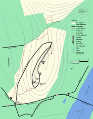
Mt. Sugarloaf State Reservation trail map
Trail map of Mount Sugarloaf State Reservation
51 miles away
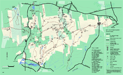
Mount Holyoke Range State Park Map
Trail map of Holyoke Range State Park.
51 miles away
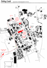
University of Massachusetts Amherst Parking Map
Map of the University of Massachusetts. Includes all buildings, streets, and parking information.
51 miles away
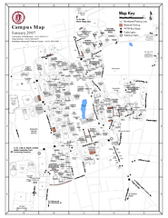
University of Massachusetts - Amherst Map
Campus Map of the University of Massachusetts - Amherst. All buildings shown.
51 miles away
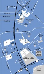
Downtown Amherst, Massachusetts Map
Tourist map of downtown Amherst, Massachusetts, showing attractions, government buildings, atms...
51 miles away
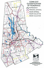
Connecticut Roadway Classification Map
51 miles away
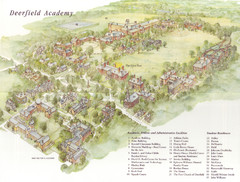
Deerfield Academy Campus Map
Shows buildings and facilities of Deerfield Academy. Scanned.
52 miles away
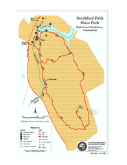
Southford Falls State Park map
Trail map for Southford Falls State Park in Connecticut.
52 miles away
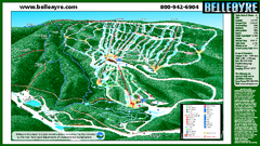
Belleayre Mountain Ski Trail Map
Trail map from Belleayre Mountain.
53 miles away
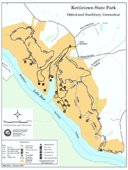
Kettletown State Park trail map
Trail map for Kettletown State Park in Connecticut.
53 miles away
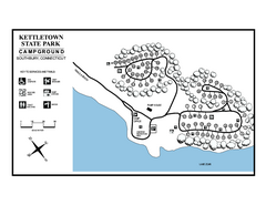
Kettletown State Park campground map
Campground map for Kettletown State Park in Connecticut.
53 miles away
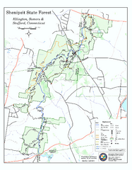
Trail map of Shenipsit State Forest
Trail map of Shenipsit State Forest in Connecticut.
54 miles away
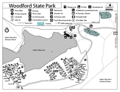
Woodford State Park Campground Map
Campground map for Woodford State Park in Vermont
55 miles away
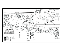
Dinosaur State Park map
Trail map of Dinosaur State Park in Connecticut.
55 miles away
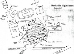
Rockville High School Map
Hand-drawn map of Rockville High School includes all buildings, Parking Lots, and sports fields.
55 miles away

