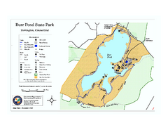
Burr Pond State Park map
Map of Burr Pond State Park in Connecticut.
28 miles away
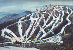
Brodie Ski Trail Map
Trail map from Brodie.
29 miles away
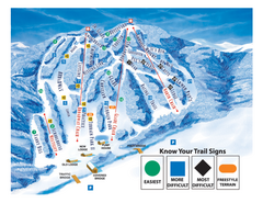
Blandford Ski Area Ski Trail Map
Trail map from Blandford Ski Area.
29 miles away
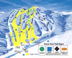
Blandford Ski Trail Map
Official ski trail map of Blandford ski area
29 miles away
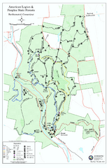
American Legion State Forest trail map
Trail map of American Legion and Peoples State Forests in Connecticut.
29 miles away
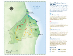
Esopus Meadows Preserve Trail Map
Trail map of Esopus Meadows Preserve park on the Hudson River.
32 miles away
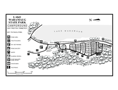
Lake Waramaug State Park campground map
Campground map of Lake Waramaug State Park.
32 miles away
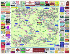
North County Berkshires map
Tourist map of North County - Pittsfield, N. Adams, Adams, Lanesboro, Cheshire, Williamstown...
33 miles away
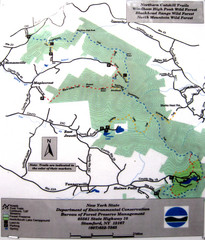
Northern Catskill Trail Map
Trail map shows hiking trails in the northern Catskills of New York. Shows trails in Windham High...
33 miles away
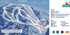
Ski Sundown Ski Trail Map
Trail map from Ski Sundown, which provides downhill and night skiing. It has 5 lifts servicing 15...
34 miles away

Topsmead State Forest map
Trail map for Topsmead State Forest in Connecticut.
34 miles away
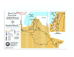
Mount Tom State Park trail map
Trail map of Mt. Tom State Park in Connecticut.
34 miles away
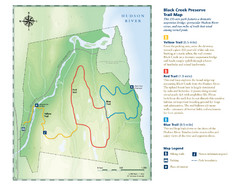
Black Creek Trail Preserve Map
Trail map of Black Creek Preserve on the Hudson River in New York. Shows Yellow Trail, Red Trail...
34 miles away
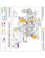
University at Albany Map
Campus Map of the University at Albany. All buildings shown.
36 miles away
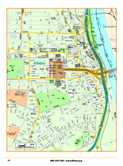
Albany downtown map
Road map of downtown Albany, NY. Shows city parks and New York State government buildings.
36 miles away
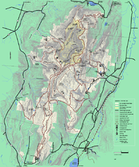
Mt. Greylock State Reservation winter trail map
Winter use trail map of Mt. Greylock State Park in Massachusetts.
36 miles away
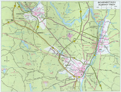
Albany, New York City Map
36 miles away
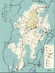
Mt. Greylock State Reservation map
Official summer map of the Mount Greylock State Reservation. At 3,491 feet, Mount Greylock is the...
37 miles away
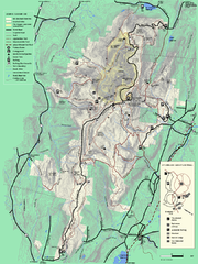
Mt. Greylock State Reservation summer trail map
Summer trail map of the Mt. Greylock State Park area in Massachusetts.
37 miles away
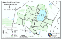
Great Pond State Park trail map
Trail map of Great Pond State Forest in Connecticut.
38 miles away
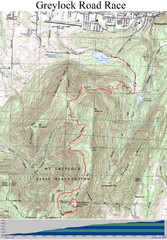
Mt. Greylock Road Race Course Map
Course map of the annual Mount Greylock Road Race. 8 Miles (uphill). Start/Finish: Mt. Williams...
38 miles away
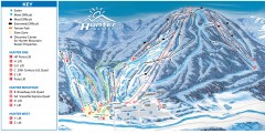
Hunter Mountain ski trail map
Official ski trail map of Hunter Mountain ski area from the 2006-2007 season.
38 miles away
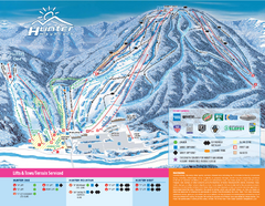
Hunter Mountain Ski Bowl Ski Trail Map
Trail map from Hunter Mountain Ski Bowl.
38 miles away
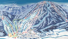
Hunter Mountain Trail Map
Ski trail map
39 miles away
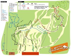
Hunter Mountain Bike Park Map
Map of bike trails in park
39 miles away
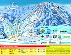
Hunter Mountain Trail Map
39 miles away
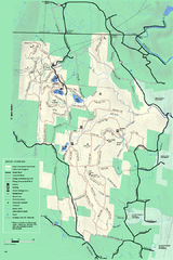
Savoy Mountain winter map
Winter use map of Savoy Mountain in Massachusetts.
39 miles away
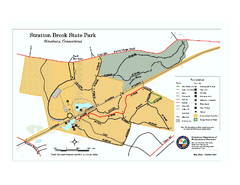
Stratton Brook State Park map
Trail map of Stratton Brook State Park in Connecticut.
39 miles away
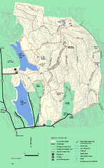
DAR State Forest winter map
Winter use map of the Daughters of the American Revolution State Forest.
40 miles away
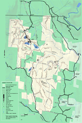
Savoy Mountail trail map
Trail map for Savoy Mountain in Massachusetts.
40 miles away
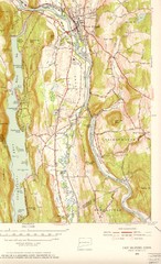
New Milford, Connecticut Map
New Milford, Connecticut topo map with roads, streets and buildings identified
40 miles away
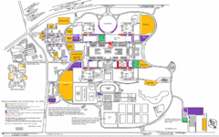
New York State University Uptown Campus Map
Map of the NYS University Campus, including all buildings, streets, and Visitors Parking...
40 miles away
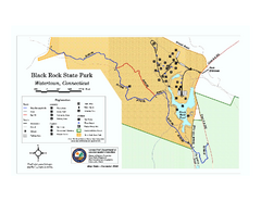
Black Rock State Park trail map
Trail map of Black Rock State Park in Connecticut.
40 miles away
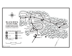
Black Rock Campground map
Map of the Campgrounds in Black Rock State Park.
40 miles away
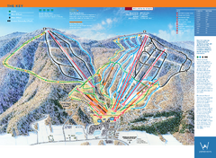
Windham Mountain Ski Trail Map
Trail map from Windham Mountain.
41 miles away
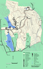
DAR State Forest summer map
Summer use map of the Daughters of the American Revolution state forest.
41 miles away
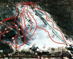
Woodbury Ski Area Ski Trail Map
Trail map from Woodbury Ski Area, which provides downhill, night, nordic, and terrain park skiing...
41 miles away
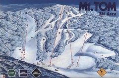
Mount Tom Ski Trail Map
Trail map from Mount Tom, which provides downhill skiing. This ski area opened in 1962.
42 miles away
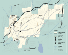
Windsor State Forest trail map
Trail map of Windsor State Forest in Massachusetts.
42 miles away
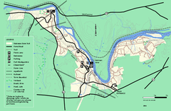
Robinson State Park trail map
Trail map of Robinson State Park in Massachusetts.
42 miles away

