
Bendigo State Park map
Detailed map of Bendigo State Park in Pennsylvania
105 miles away

Oshawa Ski Club Ski Trail Map
Trail map from Oshawa Ski Club, which provides downhill skiing. This ski area has its own website.
106 miles away
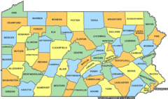
Pennsylvania Counties Map
107 miles away
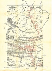
Lehigh Valley Railroad Historical Map
Built in 1846, this railroad was built primarily to haul coal. It was also known as the Route of...
107 miles away
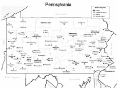
Pennsylvania Airports Map
107 miles away
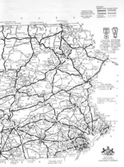
Eastern Pennsylvania Road Map
107 miles away
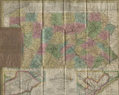
Pennsylvania Tourist Pocket Map
The map is dated 1820-31 by counties shown and comes from Anthony Finley's A New General Atlas...
107 miles away
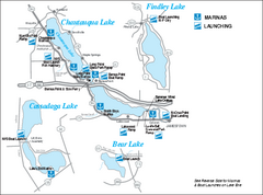
Marinas and Boat Ramps on Chautauqua and...
Recreation map of Chautauqua, Findley, Cassadaga, and Bear Lakes, New York. Shows marinas and boat...
107 miles away
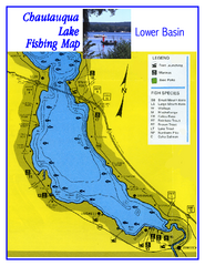
Southern Chautauqua Lake Fishing Map
Fishing map of southern Chautauqua Lake, New York. Shows marinas, boat ramps, state parks and fish...
108 miles away
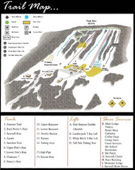
Ski Sawmill Family Resort Trail Map
Map shows trails, lifts and skier services.
109 miles away
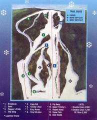
Woods Valley Ski Area Ski Trail Map
Trail map from Woods Valley Ski Area.
109 miles away
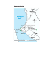
Bemus Point Map
Tourist map of Bemus Point, NY. Shows lodging, parks, shops, restaurants, and other points of...
109 miles away
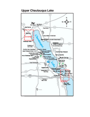
Upper Chautauqua Lake Map
Tourist map of upper Chautauqua Lake, New York. Shops, lodging, and other points of interest in the...
111 miles away
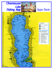
North Chautauqua Lake Fishing Map
Fishing map of northern Chautauqua Lake, New York. Shows marinas, boat ramps, state parks, and...
111 miles away

Dry Hill Ski Area Ski Trail Map
Trail map from Dry Hill Ski Area.
112 miles away
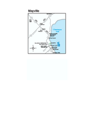
Downtown Mayville Map
Tourist map of Downtown Mayville, New York. Shows museums, restaurants, shops, government buildings...
113 miles away

Brighton-Township, Ontario Map
113 miles away
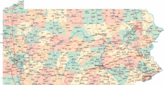
Pennsylvania Road Map
Pennsylvania detailed road map
113 miles away
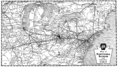
Pennsylvania Railroad System Map
Pennsylvania Railroad system map
113 miles away
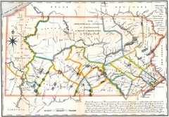
Pennsylvania Survey Map 1791
Survey Map 1791
113 miles away

Chapman State Park map
Detailed map of Chapman State Park in Pennsylvania
114 miles away
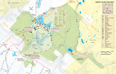
Ricketts Glen State Park map
Detailed recreation map of Ricketts Glen State Park in Pennsylvania
114 miles away
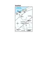
Westfield Map
Tourist map of Westfield, New York, and surrounding area. Shows shops, museums, boat ramps and...
115 miles away
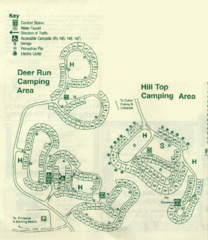
Gilbert Lake State Park Camping Map
116 miles away
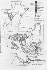
Gilbert Lake State Park Map
116 miles away
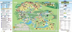
Toronto Zoo Map
Official map of the Toronto Zoo
117 miles away
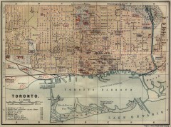
Antique map of Toronto from 1894
"Toronto" from Baedeker, Karl. The Dominion of Canada with Newfoundland and an Excursion...
117 miles away
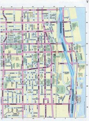
Toronto Canada Downtown Tourist Map
Tourist map for Downtown Toronto, Canada. Street leve map with tourist site highlighted. Subway...
118 miles away
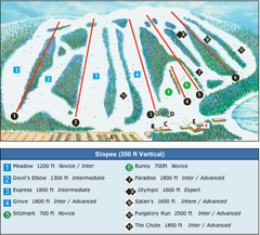
Devil’s Elbow Ski Trail Map
Trail map from Devil’s Elbow, which provides downhill skiing. This ski area has its own website.
118 miles away
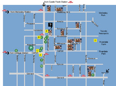
Cabbagetown Tour of Houses Map
118 miles away
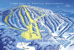
Elk Mountain Ski Trail Map
Trail map from Elk Mountain.
118 miles away

Toronto Average House Prices Map
118 miles away
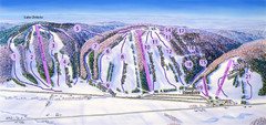
Snow Ridge Ski Trail Map
Trail map from Snow Ridge.
118 miles away
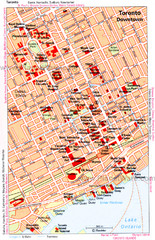
Toronto Downtown Map
118 miles away

Toronto Subway Map
Official RT/subway map of the Toronto Transit Commission.
118 miles away
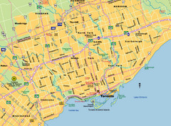
Toronto City Map
Street map of Toronto city
118 miles away
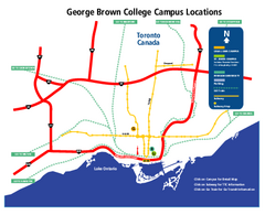
George Brown College Campus Map
George Brown College Campus Map. Shows all buildings.
118 miles away
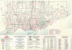
1976 Toronto City Map
Guide to transit and subway systems, points of interest and major roads
119 miles away
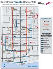
Downtown Toronto Tourist Map
119 miles away
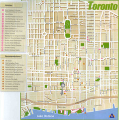
Toronto Tourist Map
119 miles away

