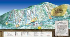
Holimont Ski Trail Map
Official ski trail map of Holimont ski area from the 2006-2007 season.
73 miles away
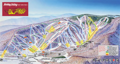
Holiday Valley Resort Ski Trail Map
Trail map from Holiday Valley Resort.
73 miles away
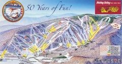
Holiday Valley Ski Trail Map
Official ski trail map of Holiday Valley ski area from the 2007-2008 season.
73 miles away

Holiday Valley and Holimont Ski Area Map
WNYMBA - Mountain bike trail guide to ski area
73 miles away
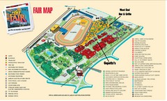
New York State Fairgrounds Map
74 miles away

Mt. Pisgah State Park map
Detailed recreation map for Mt Pisgah State Park in Pennsylvania
75 miles away
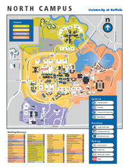
SUNY at Buffalo - North Campus Map
Campus Map of SUNY at Buffalo North campus. All buildings shown.
75 miles away
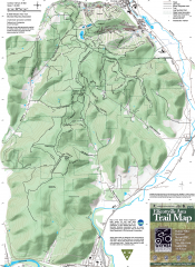
Ellicottville Area Trail Map
Shows mountain biking trails in the Holiday/Holimont/McCarty Hill/Rock City area south of...
75 miles away
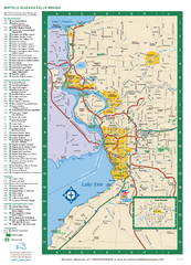
Buffalo, New York Map
Three tourist maps: one of the Buffalo, New York, area, one of the city of Buffalo, and one of...
75 miles away
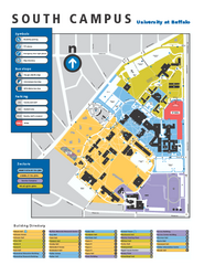
SUNY at Buffalo - South Campus Map
SUNY at Buffalo - South Campus Map. All buildings shown.
75 miles away

Buffalo, New York City Map
76 miles away

University of Buffalo Campus Maps Map
North, South and Downtown
76 miles away
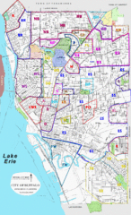
Buffalo, New York Tourist Map
76 miles away

Downtown Buffalo Map
76 miles away

1978 Bradford County, Pennsylvania Map
77 miles away

Pat Mcgee Trail Map
79 miles away
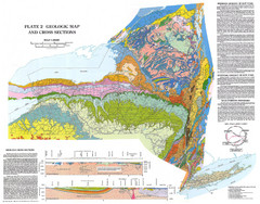
New York State Geologic Map
1:1,000,000 scale geological map of New York State
83 miles away

Ole Bull State Park Map
Detailed recreation map of Ole Bull State Park in Pennsylvania
85 miles away
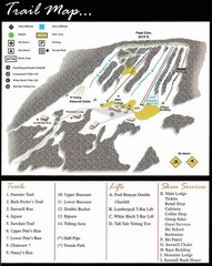
Ski Sawmill Ski Trail Map
Trail map from Ski Sawmill.
85 miles away
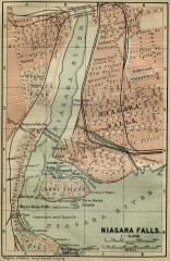
Antique map of Niagara Falls from 1894
"Niagara Falls" from Baedeker, Karl. The Dominion of Canada with Newfoundland and an...
87 miles away

Niagara Falls Map
Photographic Map of Niagara Falls - tourist / visitor information.
88 miles away
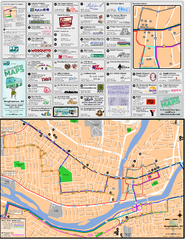
Binghampton Bus Route Map
88 miles away
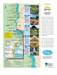
Niagara Garden Trail Map
Tourist map of attractions along the Garden Trail along the Canadian side of the St. Lawrence River...
89 miles away
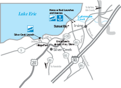
Silver Creek and Irving Map
Tourist map of Silver Creek and Irving, New York. Shows shops, boat ramps, and marinas.
89 miles away

Kinzua Bridge State Park Map
Detailed map of Kinzua Bridge State Park in Pennsylvania.
91 miles away
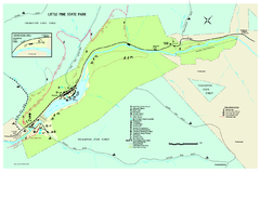
Little Pine State Park Map
Detailed recreation map for Little Pine State Park in Pennsylvania
95 miles away
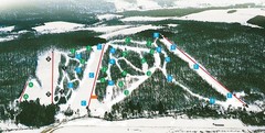
Cockaigne Ski Resort Ski Trail Map
Trail map from Cockaigne Ski Resort.
96 miles away

Bucktail State Park Natural Area map
Detailed map of Bucktail State Park Natural Area in Pennsylvania
96 miles away
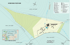
Hyner Run State Park map
Detailed recreation map for Hyner Run State Park in Pennsylvania
96 miles away
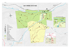
Salt Springs State Park map
Detailed recreation map of Salt Spring State Park in Pennsylvania.
97 miles away

Kettle Creek State Park Map
Detailed map of Kettle Creek State Park in Pennsylvania.
98 miles away
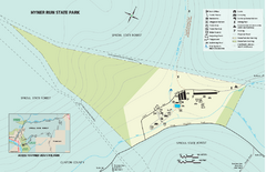
Hyner View State Park map
Detailed map of Hyner View State Park in Pennsylvania
98 miles away
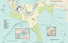
Worlds End State Park map
Detailed recreation map for Worlds End State Park in Pennsylvania
98 miles away

Batawa Ski Trail Map
Trail map from Batawa, which provides downhill skiing. This ski area has its own website.
100 miles away
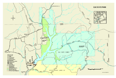
Elk State Park map
Detailed map of Elk State Park in Pennsylvania.
100 miles away
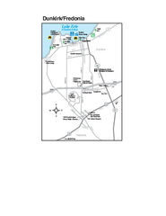
Dunkirk and Fredonia, New York Map
Tourist map of Dunkirk, New York, and Fredonia, New York. Shows shops, parks, lodging and other...
100 miles away
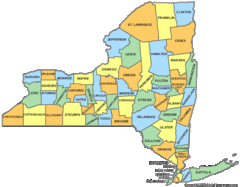
New York Counties Map
101 miles away
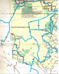
Tug Hill Trail Map
Tug Hill Area Snow Mobile Trail Map
104 miles away
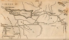
Antique map of Utica, NY from 1830
Map of Utica, NY from The Northern Traveller, and Northern Tour; with the Routes to The Springs...
104 miles away
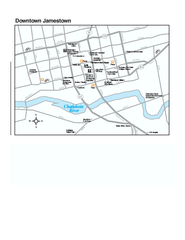
Downtown Jamestown Map
Tourist map of Downtown Jamestown, New York. Shows shops, parking, cinemas, hotels, and government...
104 miles away

