
Bristol Mountain Ski Resort Ski Trail Map
Trail map from Bristol Mountain Ski Resort.
0 miles away

Hunt Hollow Ski Trail Map
Trail map from Hunt Hollow.
8 miles away
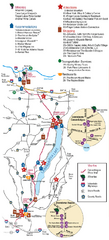
Canadaigua Wine Trail Map
Map of the Canadaigua Wine Map in Canadaigua, New York. Shows all wineries and vineyards in the...
10 miles away

Digital Elevation Model (DEM) of Conesus Lake Map
Digital Elevation Model (DEM) of Conesus Lake Map created in ARC Gis
13 miles away
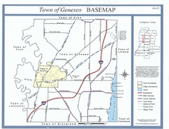
Geneseo Town Map
20 miles away
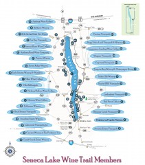
Seneca Lake Wine Trail Map
Winery tour map of Seneca Lake area in New York. Shows all vineyards that are members of the wine...
22 miles away

Bath-Hornell Bus Route Map
26 miles away

St. John Fisher College Map
Campus map
26 miles away
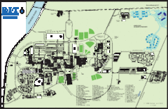
Rochester Institute of Technology Campus Map
Map of RIT campus.
27 miles away
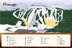
Swain Ski & Snowboard Resort Ski Trail Map
Trail map from Swain Ski & Snowboard Resort.
30 miles away
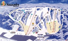
Swain Ski Trail Map
Official ski trail map of Swain Resort ski area from the 2007-2008 season.
30 miles away

Downtown Rochester, New York Map
Tourist map of downtown Rochester, New York. Various areas of interest, parking, and streets are...
30 miles away

Rochester, New York City Map
30 miles away

Brantling Ski Slopes Ski Trail Map
Trail map from Brantling Ski Slopes.
33 miles away
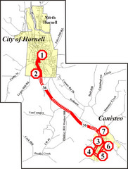
Canisteo-Hornell Bus Route Map
33 miles away
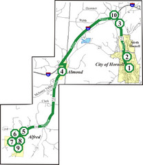
Alfred-Hornell Bus Route Map
34 miles away
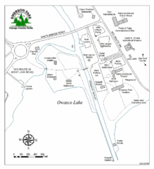
Emerson Park Map
45 miles away

Cornell University Map
51 miles away
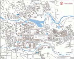
Cornell Campus Map
Map of Cornell University's Ithaca campus
51 miles away
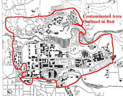
Map of Water contamination at Cornell University...
51 miles away

Marcellus Snowmobile Trail Map
Map of snowmobile trails throughout Marcellus area
52 miles away
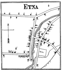
Etna 1897 City Map
Key to the Map of Etna (1897) 1. Mrs. C. Turner. 38. Blacksmith Shop. 2. J. T. Primrose. 39. Houtz...
55 miles away

Song Mountain Ski Trail Map
Trail map from Song Mountain.
63 miles away
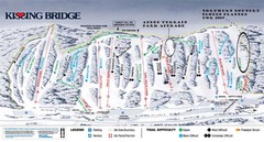
Kissing Bridge Ski Trail Map
Trail map from Kissing Bridge.
65 miles away
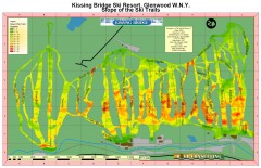
Kissing Bridge Ski Slope Map
Map of Kissing Bridge ski area; shows steepness of slopes with color-coding.
65 miles away
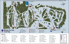
Buffalo Ski Club Trail Map
65 miles away

Hills Creek State Park map
Detailed map of Hills Creek State Park in Pennsylvania
66 miles away

Greek Peak Ski Resort Ski Trail Map
Trail map from Greek Peak Ski Resort.
66 miles away
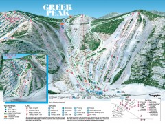
Greek Peak Ski Trail Map
Official ski trail map of Greek Peak ski area from the 2006-2007 season.
66 miles away

Syracuse University Map
Syracuse University Campus Map. All buildings shown.
67 miles away
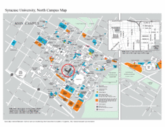
Syracuse University, North Campus Map
Campus map of Syracuse University, North Campus. Maxwell School of Executive Education is...
67 miles away
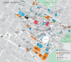
Syracuse University Campus Map
Map of the Syracuse University Campus. Includes buildings, parking, streets, and location of the...
68 miles away
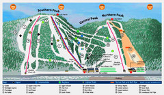
Labrador Mountain Ski Trail Map
Trail map from Labrador Mountain.
69 miles away
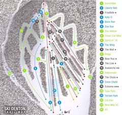
Ski Denton Ski Trail Map
Trail map from Ski Denton.
71 miles away
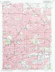
Northeast Buffalo Topo Map
1:24,000 topographic map of the northeast part of Buffalo, New York and surrounding suburbs...
72 miles away
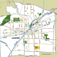
Lockport, New York Map
Map of downtown Lockport, New York, with parks, hospitals, and other points of interest shown.
72 miles away

Leonard Harrison State Park Map
Detailed map for Leonard Harrison State Park in Pennsylvania.
73 miles away
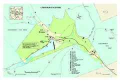
Lyman Run State Park Map
Detailed recreation map for Lyman Run State Park in Pennsylvania
73 miles away
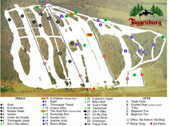
Toggenburg Ski Center Ski Trail Map
Trail map from Toggenburg Ski Center.
73 miles away
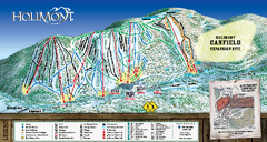
HoliMont Ski Trail Map
Trail map from HoliMont.
73 miles away

