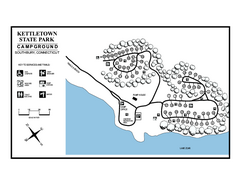
Kettletown State Park campground map
Campground map for Kettletown State Park in Connecticut.
97 miles away
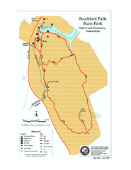
Southford Falls State Park map
Trail map for Southford Falls State Park in Connecticut.
97 miles away
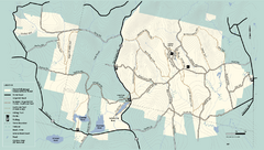
Kenneth Dubuque Memorial State Park trail map
Trail map of the Kenneth Dubuque state park conservation area in Massachusetts.
98 miles away
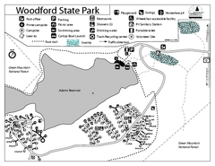
Woodford State Park Campground Map
Campground map for Woodford State Park in Vermont
98 miles away
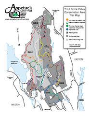
Trout Brook Valley Map
99 miles away
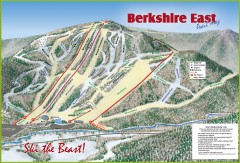
Berkshire East Ski Trail Map
Official ski trail map of Berkshire East ski area from the 2007-2008 season.
99 miles away
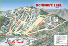
Berkshire East Ski Area Ski Trail Map
Trail map from Berkshire East Ski Area.
99 miles away
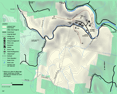
Mohawk Trail State Forest map
Map of the Mohawk Trail State Forest in Charlemont, Massachusetts.
99 miles away
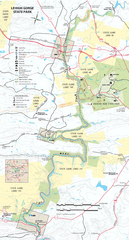
Lehigh Gorge State Park Map
Detailed recreation map for Lehigh Gorge State Park in Pennsylvania
99 miles away
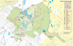
Ricketts Glen State Park map
Detailed recreation map of Ricketts Glen State Park in Pennsylvania
100 miles away

Downtown Morriston Map
100 miles away
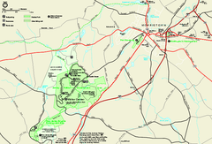
Morristown National Historical Park Official Map
Official NPS map of Morristown National Historical Park in New Jersey. Shows all areas. Tours...
100 miles away
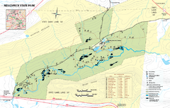
Nescopeck State Park map
Detailed recreation map of Nescopeck State Park in Pennsylvania.
100 miles away
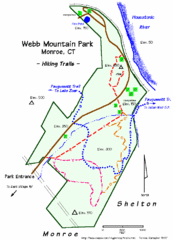
Webb Moutain Park Map
100 miles away
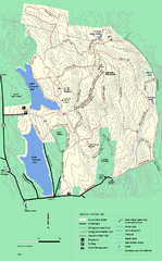
DAR State Forest winter map
Winter use map of the Daughters of the American Revolution State Forest.
101 miles away

Lewis Morris Park Trail Map
101 miles away
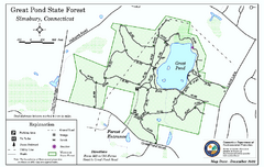
Great Pond State Park trail map
Trail map of Great Pond State Forest in Connecticut.
101 miles away
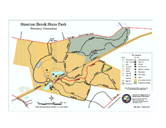
Stratton Brook State Park map
Trail map of Stratton Brook State Park in Connecticut.
101 miles away
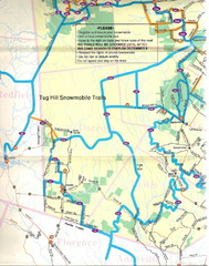
Tug Hill Trail Map
Tug Hill Area Snow Mobile Trail Map
101 miles away
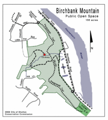
Birchbank Park Map
102 miles away
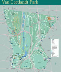
Van Cortlandt Park Trail Map
Trail map of Van Cortlandt Park in the Bronx. Covers 573 acres.
102 miles away
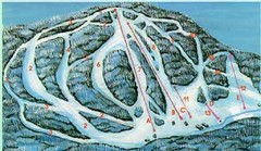
McCauley Mountain Ski Trail Map
Trail map from McCauley Mountain.
102 miles away
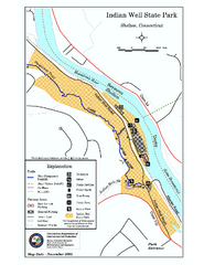
Indian Well State Park map
Trail map for Indian Well State Park in Connecticut.
103 miles away
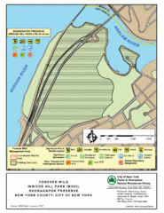
Inwood Hill Park Map
Park map of Inwood Hill Park in the Shorakapok Preserve, New York. 136 acres.
103 miles away
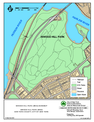
Inwood Hill Park Trail Map
Trail map of Inwood Hill Park located at the extreme northern tip of Manhattan. 136 acres.
103 miles away
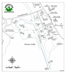
Emerson Park Map
103 miles away
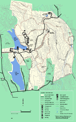
DAR State Forest summer map
Summer use map of the Daughters of the American Revolution state forest.
103 miles away
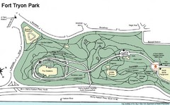
Fort Tyron Park Map
103 miles away
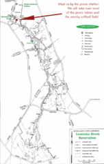
Loantaka Park Map
103 miles away
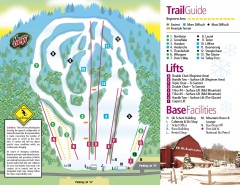
Mount Southington Ski Trail Map
Official ski trail map of Mount Southington ski area from the 2007-2008 season.
104 miles away
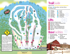
Mt. Southington Ski Area Ski Trail Map
Trail map from Mt. Southington Ski Area, which provides downhill, night, and terrain park skiing...
104 miles away

Mt. Pisgah State Park map
Detailed recreation map for Mt Pisgah State Park in Pennsylvania
104 miles away
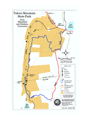
Talcott Mountain State Park map
Trail map of Talcott Mountain State Park in Connecticut.
104 miles away

Beltzville State Park map
Detailed recreation map for Beltzville State Park in Pennsylvania
104 miles away
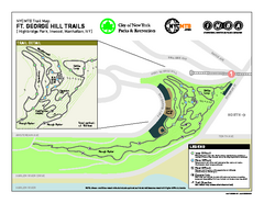
Highbridge Park mountain bike trail map
Mountain biking trail network opened in May 2007. Only mountain biking trails in Manhattan. 25...
104 miles away
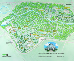
The New York Botanical Garden Map
Official Map of The New York Botanical Garden in New York. Shows all areas and different gardens.
104 miles away
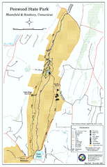
Penwood State Park map
Trail map of Penwood State Park in Connecticut.
104 miles away
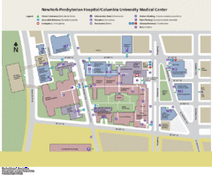
Columbia University Medical Center Map
104 miles away
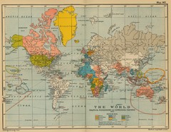
Colonial Posessions and Commercial Highways 1910...
Historical world map (1910) of various colonization and highway expansion
104 miles away
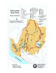
Osbornedale State Park map
Trail map of Osborndale State Park in Connecticut.
105 miles away

