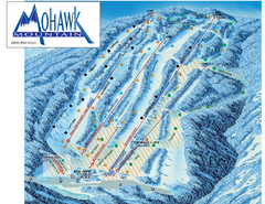
Mohawk Mountain Ski Trail Map
Ski trail map of Mohawk Mountain ski area
78 miles away
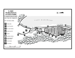
Lake Waramaug State Park campground map
Campground map of Lake Waramaug State Park.
79 miles away
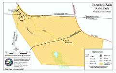
Cambell Falls State Park map
Trail map of Campbell Falls State Park Reserve in Connecticut
79 miles away
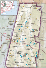
Berkshires Map
Overview map of the Berkshires region of Western Massachusetts
79 miles away
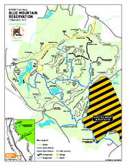
Blue Mountain Reservation Mountain Bike Trail Map
Mountain biking map of the Blue Mountain Reservation from the Westchester Mountain Biking...
79 miles away

North Mohawk Mountain State Forest (Summer Trails...
Summer trail map of the North section of Mohawk Mountain State Forest in Connecticut.
79 miles away

North Mohawk Mountain State Forest (Winter Trails...
Winter trail map for North Mohawk Mountain State Forest in Connecticut.
79 miles away
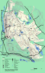
October Mountain State Forest trail map
Trail map of October Mountain State Forest in Massachusetts.
80 miles away
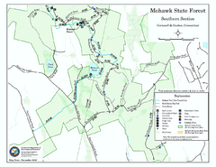
South Mohawk Mountain State Forest (Summer Trails...
Summer trails for South Mohawk State Forest in Connecticut.
80 miles away

South Mohawk Mountain State Forest (Winter Trails...
Winter trial map for the Southern Section of Mohawk Mountain State Forest in Connecticut.
80 miles away
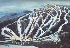
Brodie Ski Trail Map
Trail map from Brodie.
80 miles away
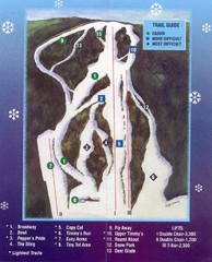
Woods Valley Ski Area Ski Trail Map
Trail map from Woods Valley Ski Area.
81 miles away
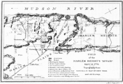
Harlem Hieghts Affair Map
Topography of the field during the battle on Sept 16 1776
81 miles away
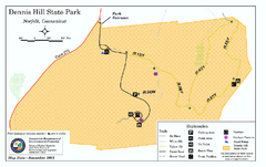
Dennis Hill State Park map
Trail map of Dennis Hill State Park in Connecticut.
82 miles away

Song Mountain Ski Trail Map
Trail map from Song Mountain.
82 miles away
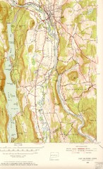
New Milford, Connecticut Map
New Milford, Connecticut topo map with roads, streets and buildings identified
82 miles away
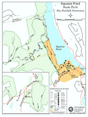
Squantz Pond State Park map
Trail and campground map for Squantz Pond State Park in Connecticut.
82 miles away
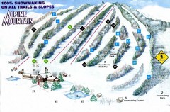
Alpine Mountain Ski Trail Map
Trail map from Alpine Mountain.
82 miles away

New York State Fairgrounds Map
83 miles away
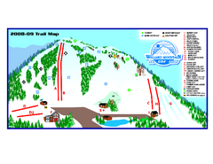
Willard Mountain Ski Area Ski Trail Map
Trail map from Willard Mountain Ski Area.
83 miles away
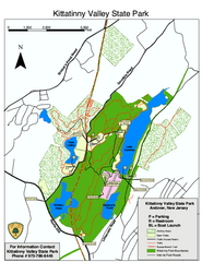
Kittatinny Valley State Park trail map
Trail map of Kittatinny Valley State Park in New Jersey. Shows hunting areas and trails.
83 miles away
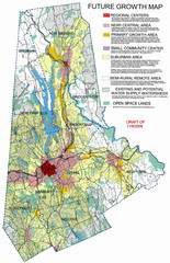
Danbury Regional Growth Map
Guide to future growth of Danbury, CT and surrounds
84 miles away
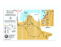
Mount Tom State Park trail map
Trail map of Mt. Tom State Park in Connecticut.
84 miles away
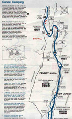
Deleware River Boat Map
84 miles away
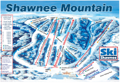
Shawnee Mountain Ski Trail Map
Trail map from Shawnee Mountain.
84 miles away
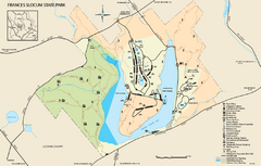
Frances Slocum State Park map
Detailed map of Frances Slocum State Park in Pennsylvania.
85 miles away
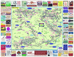
North County Berkshires map
Tourist map of North County - Pittsfield, N. Adams, Adams, Lanesboro, Cheshire, Williamstown...
85 miles away
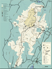
Mt. Greylock State Reservation map
Official summer map of the Mount Greylock State Reservation. At 3,491 feet, Mount Greylock is the...
85 miles away
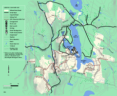
Tolland State Forest summer trail map
Summer use map for Tolland State Forest in Massachusetts.
85 miles away
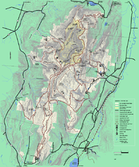
Mt. Greylock State Reservation winter trail map
Winter use trail map of Mt. Greylock State Park in Massachusetts.
85 miles away
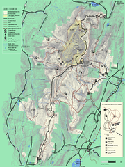
Mt. Greylock State Reservation summer trail map
Summer trail map of the Mt. Greylock State Park area in Massachusetts.
86 miles away
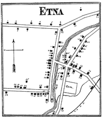
Etna 1897 City Map
Key to the Map of Etna (1897) 1. Mrs. C. Turner. 38. Blacksmith Shop. 2. J. T. Primrose. 39. Houtz...
86 miles away
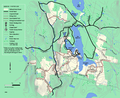
Tolland State Forest winter trail map
Winter usage trail map of the Tolland State Forest area in Massachusetts.
86 miles away
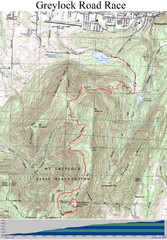
Mt. Greylock Road Race Course Map
Course map of the annual Mount Greylock Road Race. 8 Miles (uphill). Start/Finish: Mt. Williams...
86 miles away
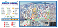
Camelback Ski Trail Map
Ski trail map of Camelback ski area
87 miles away
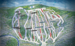
Jack Frost Ski Area Ski Trail Map
Trail map from Jack Frost Ski Area.
87 miles away

Big Pocono State Park map
Detailed map for Big Pocono State Park in Pennsylvania.
88 miles away
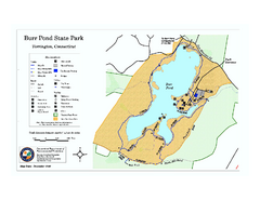
Burr Pond State Park map
Map of Burr Pond State Park in Connecticut.
88 miles away
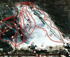
Woodbury Ski Area Ski Trail Map
Trail map from Woodbury Ski Area, which provides downhill, night, nordic, and terrain park skiing...
88 miles away

Topsmead State Forest map
Trail map for Topsmead State Forest in Connecticut.
89 miles away

