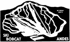
Bobcat Ski Center Ski Trail Map
Trail map from Bobcat Ski Center.
0 miles away
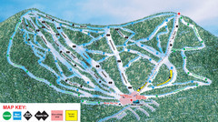
Ski Plattekill Ski Trail Map
Trail map from Ski Plattekill.
6 miles away
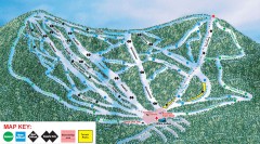
Plattekill Ski Trail Map
Official ski trail map of Plattekill ski area from the 2007-2008 season.
7 miles away
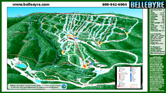
Belleayre Mountain Ski Trail Map
Trail map from Belleayre Mountain.
14 miles away
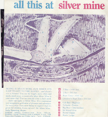
Silver Mine Credit to chris lundquist Ski Trail...
Trail map from Silver Mine, which provides downhill skiing.
24 miles away
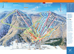
Windham Mountain Ski Trail Map
Trail map from Windham Mountain.
25 miles away
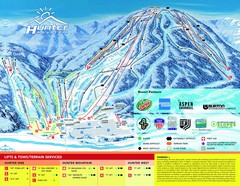
Hunter Mountain Trail Map
26 miles away
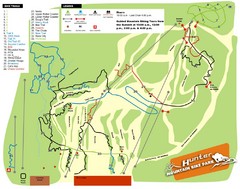
Hunter Mountain Bike Park Map
Map of bike trails in park
26 miles away
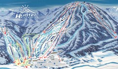
Hunter Mountain Trail Map
Ski trail map
27 miles away
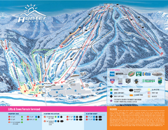
Hunter Mountain Ski Bowl Ski Trail Map
Trail map from Hunter Mountain Ski Bowl.
27 miles away
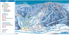
Hunter Mountain ski trail map
Official ski trail map of Hunter Mountain ski area from the 2006-2007 season.
27 miles away
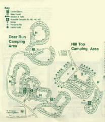
Gilbert Lake State Park Camping Map
32 miles away
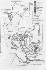
Gilbert Lake State Park Map
32 miles away
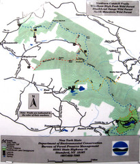
Northern Catskill Trail Map
Trail map shows hiking trails in the northern Catskills of New York. Shows trails in Windham High...
32 miles away
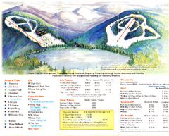
Mount Tone Ski Trail Map
Trail map from Mount Tone.
39 miles away
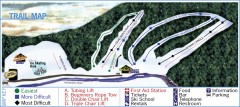
Holiday Mountain Ski Trail Map
Official ski trail map of Holiday Mountain ski area
42 miles away

Poets Walk Trail Map
Guide to Poet's Walk and Hudson River Overlook
45 miles away
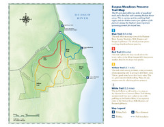
Esopus Meadows Preserve Trail Map
Trail map of Esopus Meadows Preserve park on the Hudson River.
47 miles away
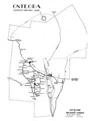
Onteora District Map
Boy Scouts Map of Onteora
47 miles away
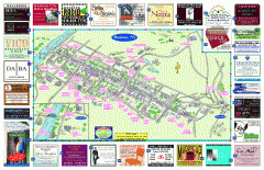
Hudson Tourist Map
Tourist map of Hudson, New York showing all tourist points of interest. Ads around border.
49 miles away
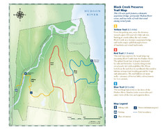
Black Creek Trail Preserve Map
Trail map of Black Creek Preserve on the Hudson River in New York. Shows Yellow Trail, Red Trail...
49 miles away

Ski Big Bear Ski Trail Map
Trail map from Ski Big Bear.
54 miles away
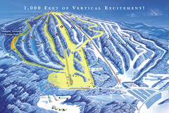
Elk Mountain Ski Trail Map
Trail map from Elk Mountain.
55 miles away
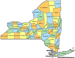
New York Counties Map
56 miles away
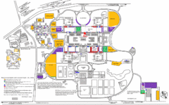
New York State University Uptown Campus Map
Map of the NYS University Campus, including all buildings, streets, and Visitors Parking...
57 miles away
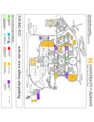
University at Albany Map
Campus Map of the University at Albany. All buildings shown.
58 miles away
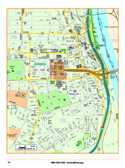
Albany downtown map
Road map of downtown Albany, NY. Shows city parks and New York State government buildings.
58 miles away
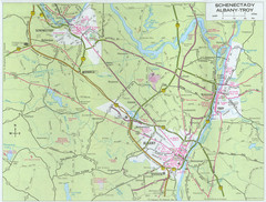
Albany, New York City Map
58 miles away
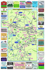
Columbia County - Boston Corners, Copake, Copake...
Tourist map of Columbia County, Mass. Includes towns of Boston Corners, Copake, Copake Falls...
59 miles away
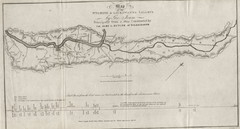
Wyoming and Lackawanna Valleys Map
Railbed from the coal mine at Carbondale to the canal on the Lackawaxen River. Historical map.
60 miles away
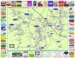
Columbia County - Austerlitz, Canaan, Chatham...
Tourist map of Columbia County including towns of Austerlitz, Canaan, Chatham, East Chatham Ghent...
60 miles away
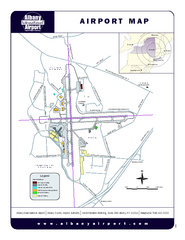
Albany International Airport Map
Official Map of the Albany International Airport in New York. Shows all terminals.
60 miles away
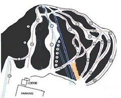
Royal Mountain Ski Trail Map
Trail map from Royal Mountain.
61 miles away
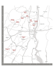
Shawangunk Wine Trail Map
Map of the Shawangunk Wine Trail on the Hudson River in New York. Shows all vineyards and wineries...
61 miles away
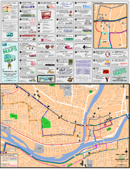
Binghampton Bus Route Map
61 miles away

Tanglwood Ski Area Ski Trail Map
Trail map from Tanglwood Ski Area, which provides downhill, night, and terrain park skiing. It has...
61 miles away
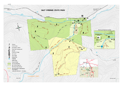
Salt Springs State Park map
Detailed recreation map of Salt Spring State Park in Pennsylvania.
62 miles away
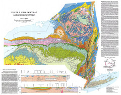
New York State Geologic Map
1:1,000,000 scale geological map of New York State
64 miles away
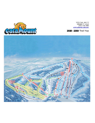
Catamount Ski Area Ski Trail Map
Trail map from Catamount Ski Area.
65 miles away
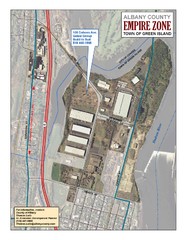
Green Island Map
Aerial town map of Green Island, New York on the Hudson River
65 miles away

