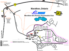
Marathon Trail Map
Map of Marathon with detail on snowmobile trails
235 miles away
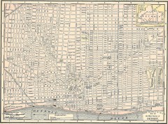
Map of the Main Portion of Detroit - 1895
Map of downtown Detroit, 1895. From Rand McNally's Atlas of the World, 1901, page 42
235 miles away

Chippewa Morraine State Park Map
Walking trails.
235 miles away
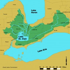
Lake St. Clair/St. Clair River watershed Map
Shows the Lake St. Clair/St. Clair River watershed.
235 miles away
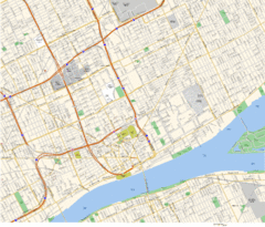
Detroit, MI Tourist Map
236 miles away
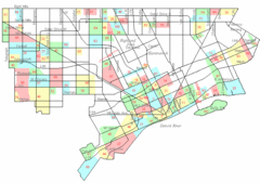
Detroit Neighborhoods Map
236 miles away

Detroit, Michigan City Map
236 miles away
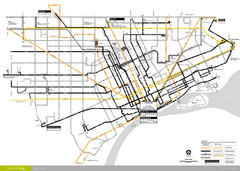
DDOT 2006 System Map
Detroit Department of Transportation Transit System.
236 miles away
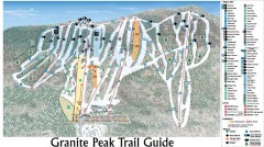
Granite Peak Ski Trail Map
Official ski trail map of Granite Peak ski area from the 2004-2005 season.
236 miles away

Granite Peak Ski Trail Map
Trail map from Granite Peak.
236 miles away

Detroit Belle Isle Grand Prix Map
236 miles away
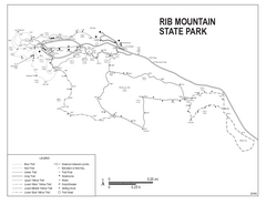
Rib Mountain State Park Map
Simple state park map with nice hiking trails.
236 miles away
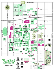
Wayne State University Map
Wayne State University Campus Map. All buildings shown.
236 miles away
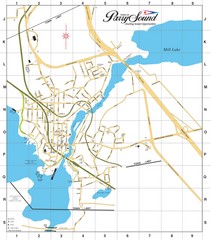
Parry Sound Town Map
236 miles away

Belle Isle Park Map
Map of Belle Isle Park
237 miles away
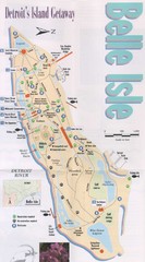
Belle Isle Tourist Map
Tourist map of Belle Isle, Detroit's island get-away
237 miles away
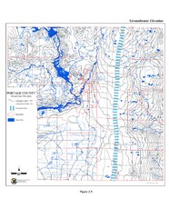
Groundwater Elevation of Portage County Map
Using the water table elevation map, generalized groundwater flow directions can be estimated.
237 miles away
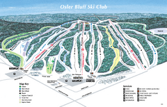
Osler Bluff Ski Club Ski Trail Map
Trail map from Osler Bluff Ski Club, which provides downhill skiing. This ski area has its own...
237 miles away
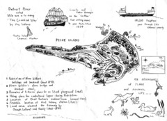
Peche Island Map
Hand-drawn map of Peche Island, Michigan
237 miles away
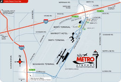
Detroit Metro Airport Area Map
238 miles away
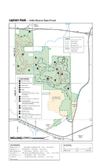
Lapham Peak Map
Ranger residence, hike path, restrooms and more are clearly marked upon this map.
241 miles away
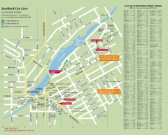
Stratford Tourist Map
Tourist map of center of Stratford, Ontario. Has street index and shows points of interest. Note...
242 miles away
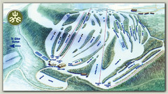
Devils Glen Ski Trail Map
Trail map from Devils Glen, which provides downhill skiing. This ski area has its own website.
243 miles away
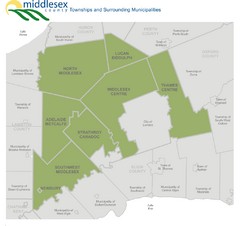
Middlesex County Map
Guide to Middlesex County and surrounds
247 miles away
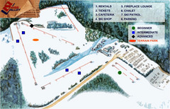
Swiss Valley Ski Lodge Ski Trail Map
Trail map from Swiss Valley Ski Lodge.
247 miles away
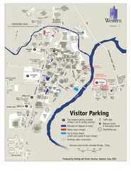
University of Western Ontario Map
Campus map
248 miles away
London Ski Club at Boler Mountain and Brochure...
Trail map from London Ski Club at Boler Mountain, which provides downhill skiing. This ski area has...
248 miles away
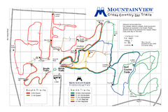
Mountain View Nordic Ski Trail Map
Trail map from Mountain View, which provides downhill and nordic skiing. This ski area has its own...
248 miles away
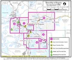
Seguin Township Map
Shows wards and parks in township of Seguin, Ontario.
249 miles away

Porcupine Mountain Ski Trail Map
Trail map from Porcupine Mountain.
250 miles away
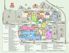
Fanshawe College Map
Campus map of London Campus
250 miles away
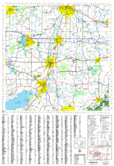
Jefferson County, Wisconsin Map
Map of Jefferson County, includes detailed information on streets, highways, recreational...
250 miles away
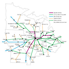
Midwest Direct Route Map
The most direct routes in the Midwest United States
253 miles away
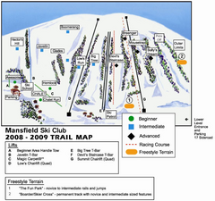
Ski Mansfield Ski Trail Map
Trail map from Ski Mansfield, which provides downhill skiing. This ski area has its own website.
253 miles away

Indianhead Mountain Resort Ski Trail Map
Trail map from Indianhead Mountain Resort.
254 miles away

Blackjack Ski Resort Ski Trail Map
Trail map from Blackjack Ski Resort.
255 miles away
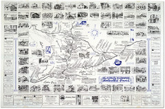
King's Highway Ontario Inn Map
Includes sketches of inns and guesthouses along the King's Highway in Ontario and...
256 miles away
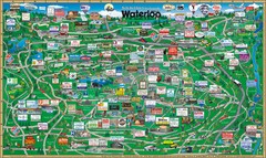
Waterloo Tourist Map
Tourist map of Waterloo, Ontario and the St. Jacobs area. Shows business logos and phone numbers.
257 miles away
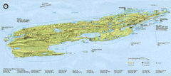
Isle Royale National Park Map
Park map of Isle Royal National Park. Scanned.
258 miles away

