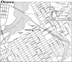
Ottawa, Ontario Tourist Map
446 miles away
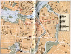
Ottawa Tourist Map
Tourist map of capital city of Ottawa, Canada. Shows tourist points of interest.
446 miles away

Rideau Hall Tour Bus Lay-By Map
447 miles away

Rideau Hall Tour Bus Parking Map
447 miles away
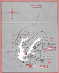
Lincoln Trail State Park, Illinois Site Map
447 miles away
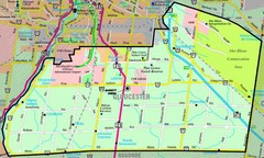
Gloucester Map
Street-map of Gloucester district
447 miles away
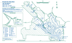
Strouds Run State Park map
Detailed recreation map for Strouds Run State Park in Ohio.
448 miles away

Stone House Trail Map
448 miles away
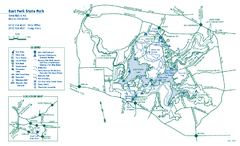
East Fork State Park map
Detailed recreation map for East Fork State Park in Ohio
448 miles away
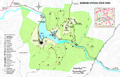
Ryerson Station State Park map
Detailed recreation map of Ryerson Station State Park in Pennsylvania
448 miles away
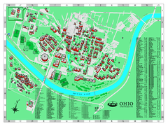
Ohio University Map
Ohio University Campus Map. All buildings shown.
449 miles away
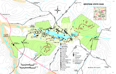
Keystone State Park Map
Detailed recreation map for Keystone State Park in Pennsylvania
450 miles away
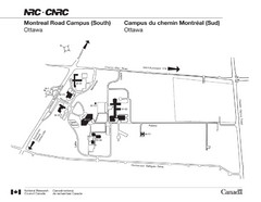
National Research Council Map
Montreal Road Campus visitor map, also in French. Provides location of campus buildings and roads.
450 miles away

Yellow Creek State Park map
Recreation map for Yellow Creek State Park in Pennsylvania
450 miles away

Kettle Creek State Park Map
Detailed map of Kettle Creek State Park in Pennsylvania.
450 miles away
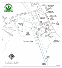
Emerson Park Map
451 miles away

Ole Bull State Park Map
Detailed recreation map of Ole Bull State Park in Pennsylvania
451 miles away
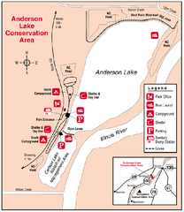
Anderson Lake, Illinois Site Map
452 miles away
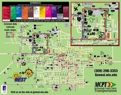
Western Illinois University Tranist Map
Map of Western Illinois University transit map throughout campus and Macomb
453 miles away
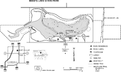
Beeds Lake State Park Map
Map showing lake depths, trails and facilities of Beeds Lake State Park.
454 miles away

Pilot Knob State Park Map
Map of trails and park facilities in Pilot Knob State Park.
454 miles away
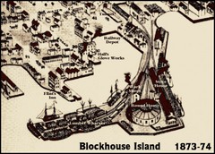
Blockhouse Island Map 1874
Bird’s Eye view map of Brockville created by artist Herman Brosius and the lithographers...
455 miles away

Mount Kato Ski Area Ski Trail Map
Trail map from Mount Kato Ski Area.
455 miles away
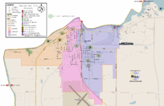
International Falls City Map
City map of International Falls, Minnesota. Shows playgrounds and other points of interest.
455 miles away
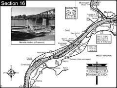
Ohio River at Marietta, OH and 8 miles downriver...
This is a page from the Ohio River Guidebook. The map shows important information for boaters and...
455 miles away

Dry Hill Ski Area Ski Trail Map
Trail map from Dry Hill Ski Area.
455 miles away

Leonard Harrison State Park Map
Detailed map for Leonard Harrison State Park in Pennsylvania.
455 miles away
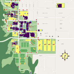
Minnesota State University Mankato Campus Map
Campus map of Minnesota State University Mankato
455 miles away
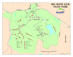
Big Bone Lick State Park Map
Map of trails and facilities for Big Bone Lick State Park.
456 miles away

Powder Ridge Ski Area Ski Trail Map
Trail map from Powder Ridge Ski Area.
457 miles away
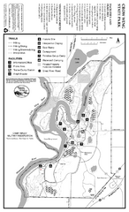
Crow Wing State Park Map
Map of park with detail of trails and recreation zones
458 miles away

Illinois State Fairgrounds Map
458 miles away
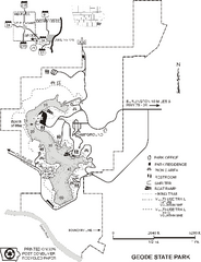
Geode State Park Map
Map of trails, lake depths and park facilities for Geode State Park.
458 miles away

Marcellus Snowmobile Trail Map
Map of snowmobile trails throughout Marcellus area
458 miles away

Painted DEM of Menard Co. Illinois Map
Mosaic painted DEM of Menard Co. using Arc/Info 8.x; AML; Perl; Erdas Imagine on SUN Hardware (Unix...
459 miles away
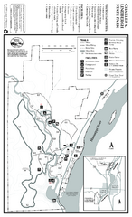
Charles A. Lindbergh State Park Map
Map of park with detail of trails and recreation zones
459 miles away
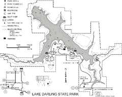
Lake Darling State Park Map
Map of hiking, biking and skiing trails, lake depths and park facilities for Lake Darling State...
460 miles away
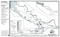
Minneopa State Park Map
Map of park with detail of trails and recreation zones
460 miles away
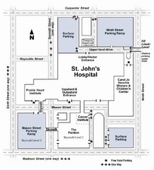
St. John's Hospital Visitor Map
St. John's Hospital Visitor Map includes all main buildings, names of streets and parking...
460 miles away

Looking for Lincoln Walking Tour, Springfield...
Looking for Lincoln walking tour map, Springfield, Illinois. Shows sites associated with President...
460 miles away

