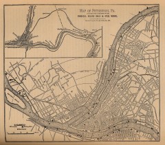
Antique map of Pittsburgh from 1879
"Map of Pittsburgh, Pa. Showing the Location of its Furnaces, Rolling Mills and Steel Works...
427 miles away
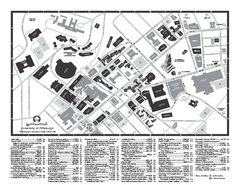
University of Pittsburgh - Main Campus Map
University of Pittsburgh - Main Campus Map. All buildings shown.
427 miles away
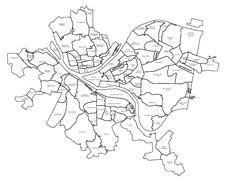
Pittsburgh neighborhoods Map
427 miles away
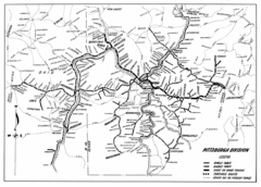
Pittsburgh, Pennsylvania City Map
427 miles away
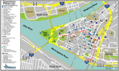
Pittsburgh Tourist Map
427 miles away
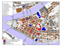
Pittsburgh Tourist Map
427 miles away
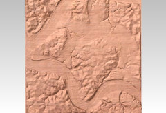
Pittsburgh, PA carved by carvedmaps.com Map
We can carve any location within the United States. Do you have a mountain cabin? We can carve...
427 miles away
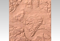
Pittsburgh map carved by CarvedMaps.com
Wood Map of the three rivers area of Pittsburgh, PA. CarvedMaps.com can carve any area within...
427 miles away

Bath-Hornell Bus Route Map
428 miles away
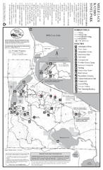
Mile Lacs Kathio State Park Summer Map
Summer seasonal map of park with detail of trails and recreation zones
428 miles away

Mile Lacs Kathio State Park Winter Map
Winter seasonal map of park with detail of trails and recreation zones
428 miles away
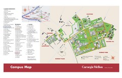
Carnegie Mellon Campus Map
Map of the Carnegie Mellon Campus. Includes all buildings, streets and the location of the campus...
429 miles away
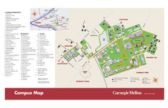
Carnegie Mellon Campus Map
Campus map of Carnegie Mellon University (CMU) in Pittsburgh, PA.
429 miles away

Bucktail State Park Natural Area map
Detailed map of Bucktail State Park Natural Area in Pennsylvania
430 miles away

Walnut Point State Park, Illinois Site Map
430 miles away
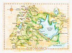
Camp Friedlander Map
430 miles away
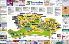
Southpointe Community Map
Tourist map of planned community in Pennsylvania
431 miles away

Sakatah Lake State Park Map
map of park with detail of trails and recreation zones
431 miles away
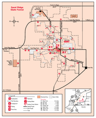
Sand Ridge State Forest, Illinois Site Map
431 miles away
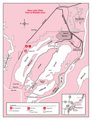
Rice Lake, Illinois Site Map
432 miles away
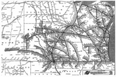
Chicago & North Western Line Railroad System...
C&NW map circa 1909
432 miles away
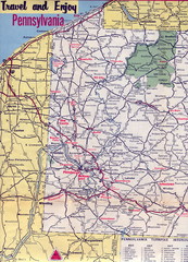
Western Pennsylvania Map
Western Pennsylvania, Northern West Virginia and Eastern Ohio roads
433 miles away
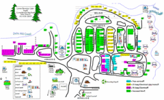
Lower Beverely Park Map
433 miles away
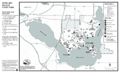
Myre-Big Island State Park Winter Map
Winter seasonal map of park with detail of trails and recreation zones
433 miles away
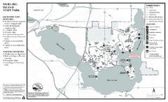
Myre-Big Island State Park Summer Map
Summer seasonal map of park with detail of trails and recreation zones
433 miles away
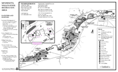
Minnesota Valley State Recreation Area Map
Map of recreation area with detail of trails and recreation zones
433 miles away
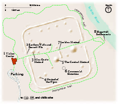
Hopewell Culture National Historical Park...
Official NPS map of Hopewell Culture National Historical Park in Ohio. Map shows all areas. he...
433 miles away
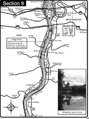
Ohio River at Wheeling, WV and 10 miles downriver...
This is a page from the Ohio River Guidebook. The map shows important information for boaters and...
433 miles away
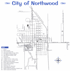
Northwood City Map
City map of Northwood, Iowa with key of churches, parks, and other points of interest.
433 miles away
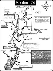
Terre Haute, IN Wabash River Map
This is a page from the Wabash River Guidebook. The map shows important information for boaters and...
434 miles away
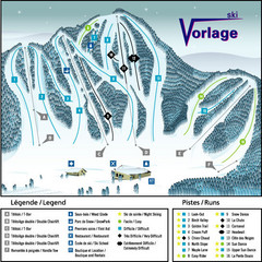
Ski Vorlage Ski Trail Map
Trail map from Ski Vorlage, which provides downhill skiing. This ski area has its own website.
434 miles away
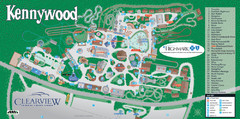
Kennywood Theme Park Map
"America's Finest Traditional Amusement Park" is the slogan for this fun, high rated...
434 miles away

Edward R. Madigan State Park, Illinois Site Map
435 miles away

Tar Hollow State Park map
Detailed recreation map for tar Hollow State Park in Ohio
435 miles away
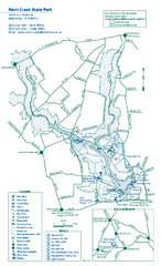
Paint Creek State Park map
Detailed recreation map for Paint Creek State Park in Ohio
436 miles away
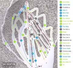
Ski Denton Ski Trail Map
Trail map from Ski Denton.
436 miles away

Parker Dam State Park Map
Detailed recreation map of Parker Dam State Park in Pennsylvania
437 miles away
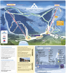
Mont Ste-Marie Ski Trail Map
Trail map from Mont Ste-Marie, which provides downhill skiing. This ski area has its own website.
437 miles away
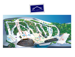
Perfect North Slopes Ski Trail Map
Trail map from Perfect North Slopes, which provides downhill, nordic, and terrain park skiing. It...
437 miles away

