Amnicon Falls State Park Map
Marked trails, picnic sites, bridges, toilets, ect. make the hike around the beautiful Amnicon...
345 miles away
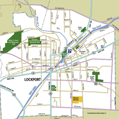
Lockport, New York Map
Map of downtown Lockport, New York, with parks, hospitals, and other points of interest shown.
346 miles away
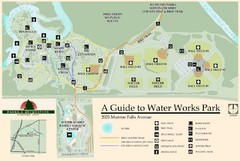
Waterworks Park Map
346 miles away
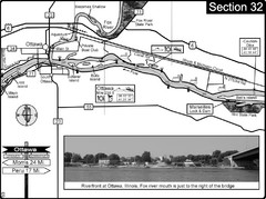
Ottawa, IL Illinois River/Fox River Map
For boating navigation and river road travel on the Illinois River. Shows confluence of the Fox...
346 miles away
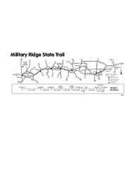
Military Ridge State Trail Map
Simple map marking trail route.
346 miles away
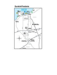
Dunkirk and Fredonia, New York Map
Tourist map of Dunkirk, New York, and Fredonia, New York. Shows shops, parks, lodging and other...
346 miles away
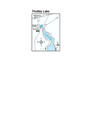
Findley Lake Map
Tourist map of Findley Lake, New York. Shows shops, lodging and hiking trails.
347 miles away
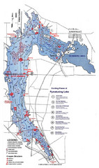
Pymatuning Lake State Park Fishing Map
Pymatuning Lake State Park fishing map
347 miles away
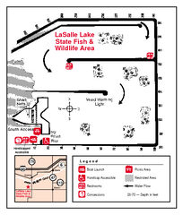
LaSalle Lake, Illinois Site Map
347 miles away
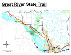
Great River State Trail Map
Nice hike through natural settings along a beautiful river.
348 miles away

Downtown Buffalo Map
348 miles away
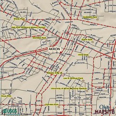
Akron, Ohio City Map
348 miles away
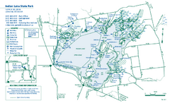
Indian Lake State Park map
Detailed recreation map for Indian Lake State Park in Ohio
348 miles away
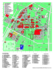
University of Akron Main Campus Map
University of Akron Main Campus Map. All buildings shown.
348 miles away
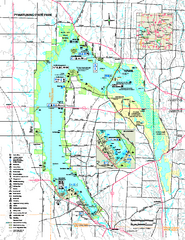
Pymatuning State Park Map
Recreation map for Pymatuning State Park in Pennsylvania
348 miles away
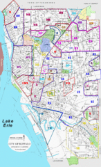
Buffalo, New York Tourist Map
348 miles away

Buffalo, New York City Map
348 miles away

University of Buffalo Campus Maps Map
North, South and Downtown
348 miles away
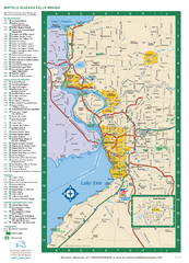
Buffalo, New York Map
Three tourist maps: one of the Buffalo, New York, area, one of the city of Buffalo, and one of...
348 miles away
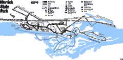
Merrick State Park Map
Beautiful hikes around the waterfront.
348 miles away
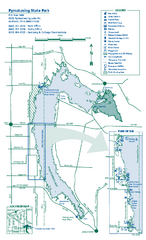
Pymatuning State Park Map
Detailed recreation map for Pymatuning State Park in Ohio
348 miles away
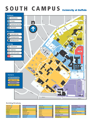
SUNY at Buffalo - South Campus Map
SUNY at Buffalo - South Campus Map. All buildings shown.
348 miles away
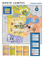
SUNY at Buffalo - North Campus Map
Campus Map of SUNY at Buffalo North campus. All buildings shown.
349 miles away
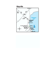
Downtown Mayville Map
Tourist map of Downtown Mayville, New York. Shows museums, restaurants, shops, government buildings...
349 miles away

Peak-N-Peek Ski Trail Map
Official ski trail map of Peak-N-Peek ski area
349 miles away
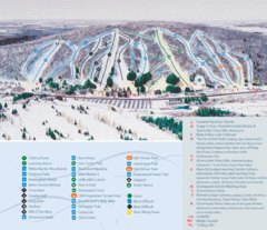
Peek’n Peak Ski Area Ski Trail Map
Trail map from Peek’n Peak Ski Area.
349 miles away
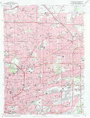
Northeast Buffalo Topo Map
1:24,000 topographic map of the northeast part of Buffalo, New York and surrounding suburbs...
349 miles away

Wabash and Erie Canal Park Map
Trails at the Wabash and Erie Canal Park
349 miles away
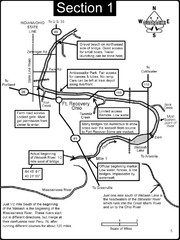
Fort Recovery, OH & beginning of the Wabash...
This is a page from the Wabash River Guidebook. The map shows important information for boaters and...
350 miles away

Chestnut Mountain Resort Farside Ski Trail Map
Trail map from Chestnut Mountain Resort, which provides downhill, night, and terrain park skiing...
350 miles away

Chestnut Mountain Trail Map
Trail map taken from website Jan 2008
350 miles away
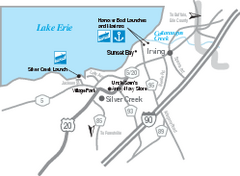
Silver Creek and Irving Map
Tourist map of Silver Creek and Irving, New York. Shows shops, boat ramps, and marinas.
350 miles away
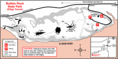
Buffalo Rock State Park, Illinois Site Map
350 miles away
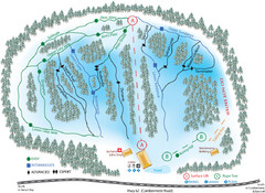
Madawaska Valley (Radcliffe Hills) Ski Trail Map
Trail map from Madawaska Valley (Radcliffe Hills), which provides downhill skiing.
351 miles away
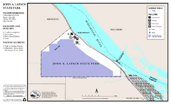
John A. Latsch State Park Map
Map of park with detail of trails and recreation zones
351 miles away
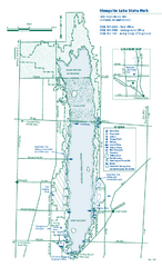
Mosquito Lake State Park map
Detailed recreation map for Mosquito Lake State Park in Ohio
352 miles away
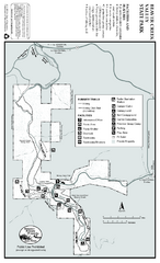
Beaver Creek Valley State Park Map
Map of park with detail of trails and recreation zones
352 miles away
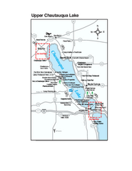
Upper Chautauqua Lake Map
Tourist map of upper Chautauqua Lake, New York. Shops, lodging, and other points of interest in the...
353 miles away
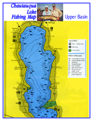
North Chautauqua Lake Fishing Map
Fishing map of northern Chautauqua Lake, New York. Shows marinas, boat ramps, state parks, and...
353 miles away

