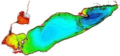
Lake Erie Depths Map
311 miles away
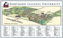
Northern Illinois University Map
Northern Illinois University Campus Map. All areas shown.
311 miles away
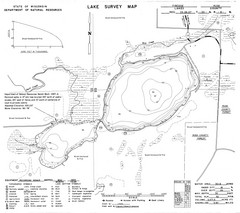
Fireside Lake Survey Map
Survey of Lake and surrounding areas done by State of Wisconsin Department of Natural Resources
312 miles away
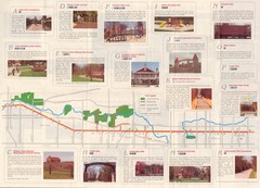
Old Plank Road Trail Map
Map and guide to the Old Plank Road Trail from Joliet, Illinois to Park Forest, Illinois
313 miles away
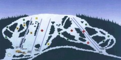
Sir Sam’s Ski Area Ski Trail Map
Trail map from Sir Sam’s Ski Area, which provides downhill skiing. This ski area has its own...
313 miles away
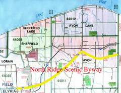
North Ridge Byway Map
The North Ridge Scenic Byway runs along Ohio State Route 254 in Lorain County, Ohio. Variously know...
314 miles away
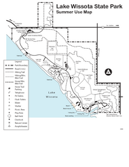
Lake Wissota State Park Map
Easy hiking along the beautiful water front.
314 miles away
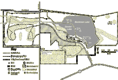
Browntown-Cadiz Springs State Recreation Area Map
Detailed map containing locations on shelters, parks, trails, and toilets.
314 miles away
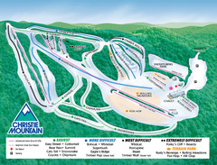
Christie Mountain Ski Area Ski Trail Map
Trail map from Christie Mountain Ski Area.
314 miles away

Chippewa Valley Trail System Map
Multiple trails and hiking routes in the Chippewa Valley.
315 miles away
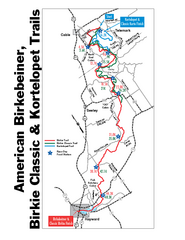
Birkebeiner Cross Country Ski Race Map
Guide to the Birkebeiner Cross Country Ski Race in Wisconsin
315 miles away

Lutsen Mountains Ski Trail Map
Trail map from Lutsen Mountains, which provides downhill and terrain park skiing. It has 10 lifts...
315 miles away
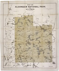
Algonquin National Park Map 1893
Map of Algonquin National Park of Ontario. "Prepared to accompany Report of Park...
316 miles away
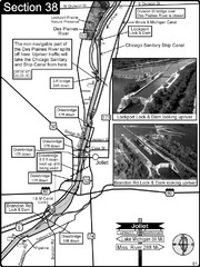
Joliet, IL Illinios river/Des Plaines River/I&...
For boating navigation and river road travel on the Illinois Waterway.
317 miles away
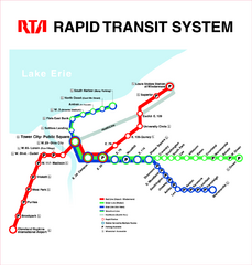
Cleveland Rapid Transit Map
318 miles away
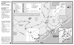
Temperance River State Park Map
map of park with detail of trails and recreation zones
318 miles away
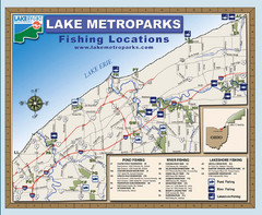
Lake Metroparks Fishing Map
319 miles away
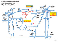
NASA Glenn Research Center Location Map
319 miles away
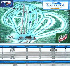
Mont Kanasuta Ski Trail Map
Trail map from Mont Kanasuta, which provides downhill skiing. This ski area has its own website.
320 miles away

Gull Bay First Nation route map
A simple route map that tells you how to get to Gull Bay First Nation in Northren Ontario. For...
321 miles away

Ontario Regional Trail Committee Boundaries Map
Sources: TCT, DMTI Spatial., MNR Projection: UTM, NAD83. Produced by the TCT in Montreal, October...
322 miles away
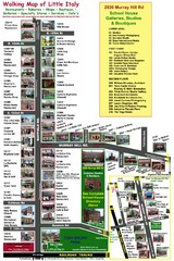
Little Italy Map
Walking tour map with labeled sites.
322 miles away
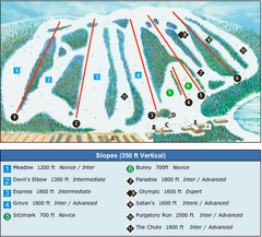
Devil’s Elbow Ski Trail Map
Trail map from Devil’s Elbow, which provides downhill skiing. This ski area has its own website.
322 miles away
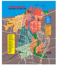
Ashtabula Tourist Map
Tourist map of Ashtabula, Ohio, situated on Lake Erie. Shows wards, notable sites, boating info...
322 miles away
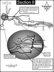
Markle, IN Wabash River rapids Map
This is a page from the Wabash River Guidebook. The map shows important information for boaters and...
322 miles away
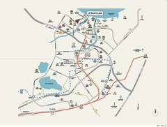
Stratum Condominium in Singapore Map
Stratum Condominium in Singapore offers great units and facilities to all their clients. With high...
323 miles away
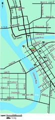
Downtown Eau Claire Eateries Map
Make sure you set aside the whole day and visit the numerous shops in Eau Claire's Downtown...
325 miles away
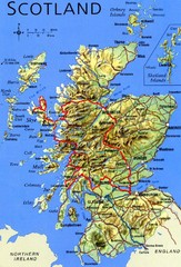
Scotland Tourist Map
326 miles away
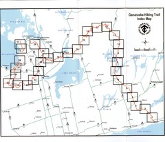
Ganaraska Hiking Trail Map
Map of the hiking trail at Ganaraska forest in Canada. Shows roads, surrounding lakes, towns and...
326 miles away
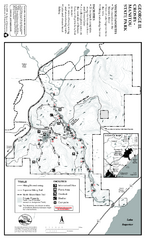
George Crosby Manitou State Park Map
Map of park with detail of trails and recreation zones
326 miles away

Oshawa Ski Club Ski Trail Map
Trail map from Oshawa Ski Club, which provides downhill skiing. This ski area has its own website.
326 miles away
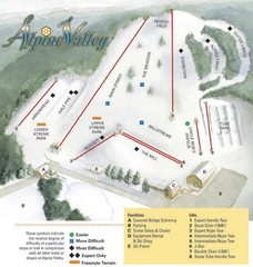
Alpine Valley Ski Area Ski Trail Map
Trail map from Alpine Valley Ski Area.
327 miles away
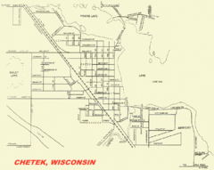
Chetek City Map
City map of Chetek, Wisconsin
328 miles away

Brighton-Township, Ontario Map
328 miles away
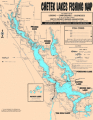
Chetek Lakes Fishing Map
Fishing map of the Chetek Lakes region
328 miles away
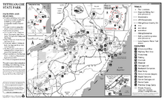
Tettegouche State Park Map
map of park with detail of trails and recreation zones
329 miles away
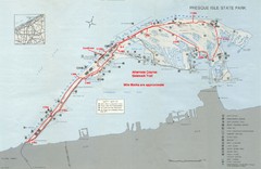
Erie Marathon Course Park Map
Map of marathon course and alternate course sidewalk trail for Erie Marathon in Presque Isle State...
331 miles away
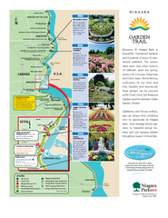
Niagara Garden Trail Map
Tourist map of attractions along the Garden Trail along the Canadian side of the St. Lawrence River...
331 miles away
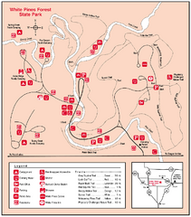
White Pines Forest, Illinois Site Map
331 miles away
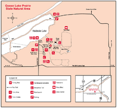
Goose Lake Prairie, Illinois Site Map
331 miles away

