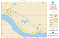
Cobb's Corridor Trail Map NL-028
481 miles away
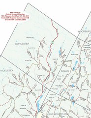
Worcester Town Map
Town map of Worcester, Vermont and surrounding areas
482 miles away
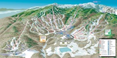
Stowe ski trail map 2006-07
Complete ski trail map of Stowe Mountain resort for 2006-2007 season.
482 miles away
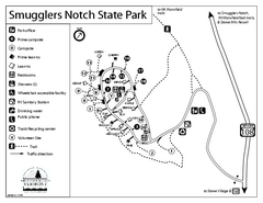
Smugglers Notch State Park Campground Map
Campground map of Smugglers Notch State Park in Vermont
482 miles away
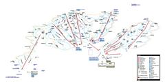
Stowe Mountain Resort Ski Trail Map
Trail map from Stowe Mountain Resort, which provides downhill, nordic, and terrain park skiing. It...
482 miles away
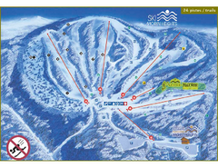
Ski Morin Heights Ski Trail Map
Trail map from Ski Morin Heights, which provides downhill skiing. This ski area has its own website.
482 miles away
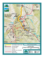
Smugglers Notch Trail Map
Trail map for Smugglers Notch State Park in Vermont
482 miles away
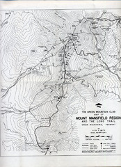
Mount Mansfield Map
Long Trail map for Green Mountains in Vermont
483 miles away
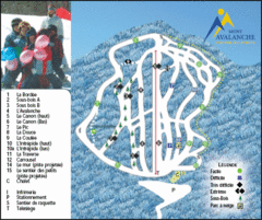
Mont Avalanche Ski Trail Map
Trail map from Mont Avalanche, which provides downhill skiing. This ski area has its own website.
483 miles away
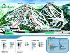
Mont Blanc Ski Trail Map
Trail map from Mont Blanc, which provides downhill skiing. This ski area has its own website.
484 miles away
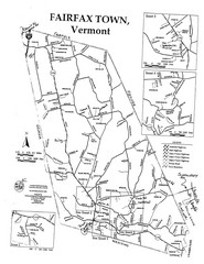
Fairfax Town Map
484 miles away
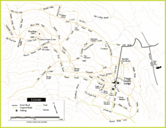
Trapp Ski Center Trail Map
Map of trails in the ski center at the Trapp Family Lodge
484 miles away
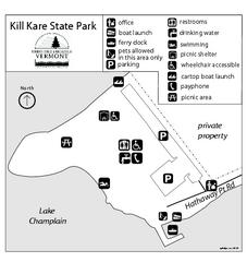
Kill Kare State Park map
Campground map of Kill Kare State park in Vermont
485 miles away
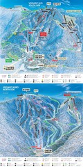
Tremblant Ski Trail Map
Trail map from Tremblant, which provides downhill skiing. This ski area has its own website.
485 miles away
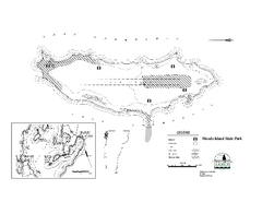
Woods Island State Park Campground Map
Campground map of Woods Island State Park in Vermont
485 miles away
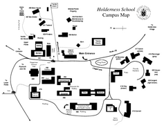
Holderness School Campus Map
A Campus Map of the Holderness School
485 miles away
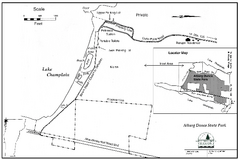
Alburg Dunes State Park map
Map of Alburg Dunes State Park in Vermont.
485 miles away
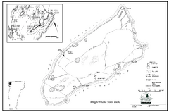
Knight Island State Park Campground Map
Map of Knight Island State Park in Vermont
486 miles away
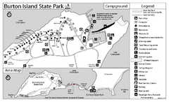
Burton Island State Park map
Campground map of Burton Island State Park in Vermont
486 miles away
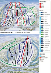
Gray Rocks Ski Trail Map
Trail map from Gray Rocks, which provides downhill skiing. This ski area has its own website.
487 miles away
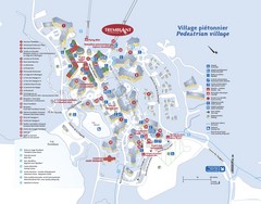
Mont Tremblant Village Map
487 miles away
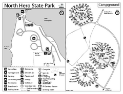
North Hero State Park Campground Map
Campground map of North Hero in Vermont
487 miles away
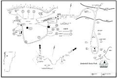
Underhill State Park Campground Map
Campground map for Underhill State Park in Vermont.
487 miles away
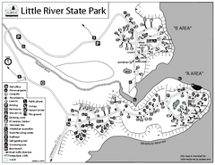
Little River State Park Campground Map
Campground map of Little River State Park in Vermont
488 miles away
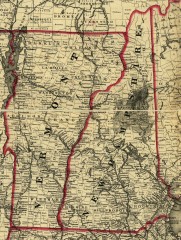
Map of New Hampshire and Vermont 1860
Map of New Hampshire and Vermont, 1860
488 miles away
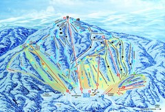
Gunstock Ski Area Ski Trail Map
Trail map from Gunstock Ski Area.
488 miles away
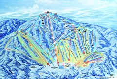
Gunstock Ski Trail Map
Ski trail map of Gunstock Mountain ski area
489 miles away
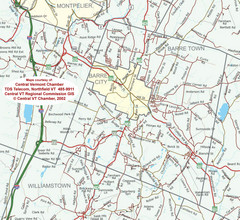
Barre, Vermont Guide Map
489 miles away
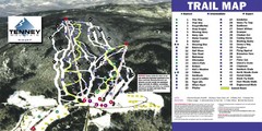
Tenney Mountain Ski Trail Map
Trail map from Tenney Mountain.
489 miles away
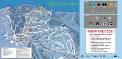
Bolton Valley Resort Ski Trail Map
Trail map from Bolton Valley Resort.
490 miles away
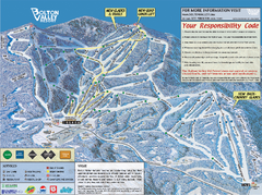
Bolton Valley Resort ski trail map
Official ski trail map of Bolton Valley ski area from the 2005-2006 season.
490 miles away
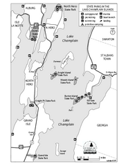
State Parks of the Champlain Islands Map
Map of the various State Parks of the Inland Sea / Lake Champlain area in Vermont
491 miles away
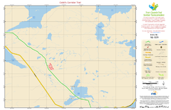
Cobb's Corridor Trail NL-029 Map
491 miles away
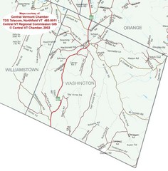
Washington, Vermont Map
491 miles away
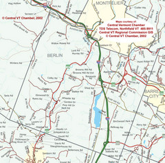
Berlin, Vermont Guide Map
492 miles away
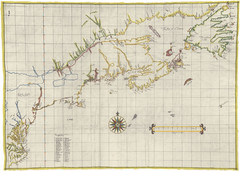
Velasco Map 1610
493 miles away
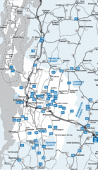
Chittenden County Map
493 miles away
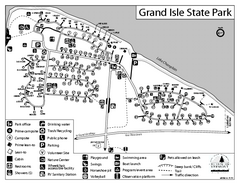
Grand Isle State Park Campground Map
Campground map for Grand Isle State Park in Vermont
494 miles away
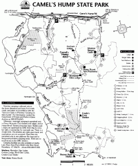
Camel's Hump State Park map
Map of Camel's Hump State Park, Vermont. Shows all hiking, snowmobile, and X-C ski trails...
494 miles away
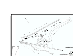
Sand Bar State Park Map
Campground map of Sand Bar State Park in Vermont
494 miles away

