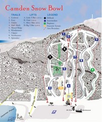
Camden Snow Bowl Ski Trail Map
Trail map from Camden Snow Bowl.
390 miles away
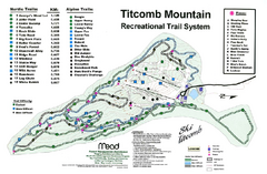
Titcomb Mountain Ski Trail Map
Trail map from Titcomb Mountain.
391 miles away
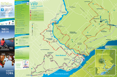
Trois-Rivières Cycling Map
Cycling route map of Trois-Rivières area. Shows multiple routes and hotels.
394 miles away
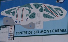
Mont Carmel Ski Trail Map
Trail map from Mont Carmel.
394 miles away
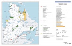
Quebec National Parks and Natural Regions...
Shows all existing National Parks and Natural Regions in Quebec as well as planned parks. This...
395 miles away
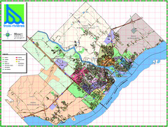
Trois Rivieres City Map
396 miles away
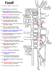
Rockland, Maine Restaurant Map
396 miles away
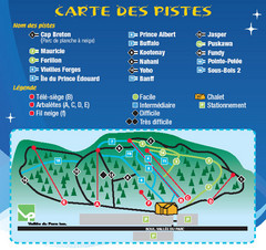
La Vallee du Parc Ski Trail Map
Trail map from La Vallee du Parc, which provides downhill and nordic skiing. This ski area has its...
397 miles away
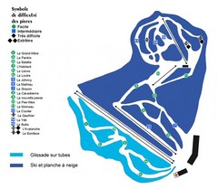
St-Mathieu les Cantons Ski Trail Map
Trail map from St-Mathieu les Cantons.
399 miles away
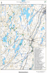
Kennebec Land Trust Map
Map of properties of the Kennebec Land Trust in Maine.
401 miles away
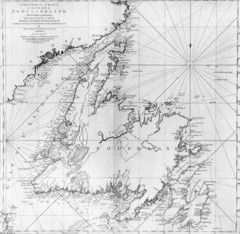
James Cook's Newfoundland Map
Famous map of Newfoundland created by James Cook. More info from site: "Cook's surveying...
402 miles away
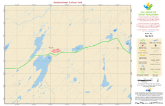
Newfoundland Trailway Park NL-020 Map
403 miles away
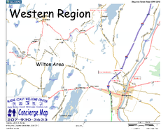
Western Maine, USA Map
Maine Coast Welcome Center's local Map of Western Maine with recommended business locations.
403 miles away
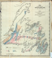
Newfoundland Geologic Map 1842
406 miles away
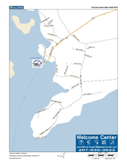
Port Clyde, Maine, USA Map
Maine Coast Welcome Center's local Map of Port Clyde, Me with recommended business locations.
407 miles away
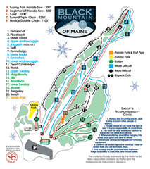
Black Mountain Ski Trail Map
Trail map from Black Mountain, which provides downhill, night, nordic, and terrain park skiing. It...
408 miles away
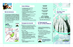
Mont-Bellevue and Nordic Ski Trail Map
Trail map from Mont-Bellevue.
411 miles away
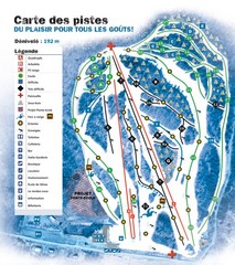
Montjoye Ski Trail Map
Trail map from Montjoye, which provides downhill skiing. This ski area has its own website.
415 miles away
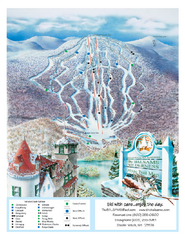
The Balsams—Wilderness Ski Trail Map
Trail map from The Balsams—Wilderness.
416 miles away
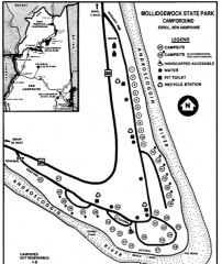
Mollidgewock State Park map
Campground map of Mollidgewock State Park in New Hampshire.
416 miles away
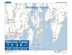
Boothbay Area, Maine, USA Map
Maine Coast Welcome Center's local Map of the Boothbay, Maine area with recommended business...
419 miles away
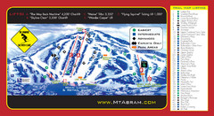
Mt. Abram Ski Resort Ski Trail Map
Trail map from Mt. Abram Ski Resort.
422 miles away
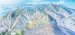
Sunday River Ski Resort Ski Trail Map
Trail map from Sunday River Ski Resort.
422 miles away
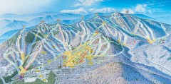
Sunday River Ski Trail map 2006-07
Official ski trail map of Sunday River ski area from the 2006-2007 season.
422 miles away
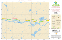
Exploits Valley and Beothuk Trail NL-022 Map
423 miles away
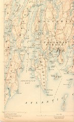
Boothbay Island Map
Topographical map of Boothbay Island and surrounding areas
423 miles away
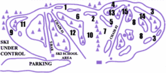
Lost Valley Ski Area Ski Trail Map
Trail map from Lost Valley Ski Area.
423 miles away
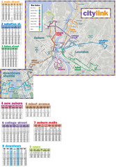
Citylink Route Map
Map of citylink bus routes throughout Auburn and Lewiston, Maine
424 miles away
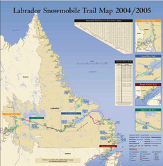
Labrador Snowmobiling Trail Map
Trail map of Labrador, Canada with inset maps of specific trail areas.
425 miles away
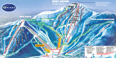
Mont Orford Ski Trail Map
Trail map from Mont Orford, which provides downhill and nordic skiing. This ski area has its own...
425 miles away
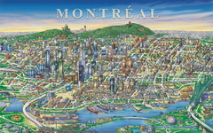
Montreal Downtown pictorial Map
Pictorial illustration of Downtown Montreal
425 miles away
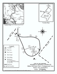
Milan Hill State Park Campground map
Campground map for Milan Hill State Park in New Hampshire.
427 miles away
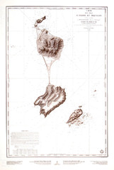
St. Pierre and Miquelon Map
431 miles away
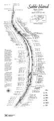
Sable Island Wreck Map
Shipwreck map of Sable Island, Nova Scotia. Known wrecks since 1583
433 miles away
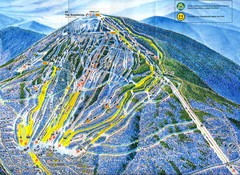
Sugarloaf Trail Map
Ski trail map of Sugarloaf mountain
434 miles away
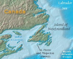
Saint Pierre and Miquelon Map
435 miles away
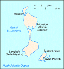
Saint Pierre and Miquelon Map
435 miles away
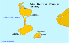
Saint Pierre and Miquelon Map
435 miles away
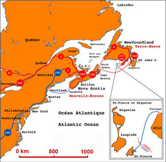
Saint Pierre and Miquelon Regional Map
Guide to the country of Saint Pierre Miquelon and the surrounding area
436 miles away
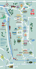
Mt. Washington Valley Restaurant Guide Map
Restaurants in Mt. Washington Valley, New Hampshire
436 miles away

