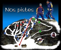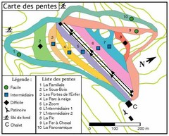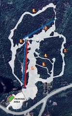
Sugarloaf Ski Hill Ski Trail Map
Trail map from Sugarloaf Ski Hill.
0 miles away
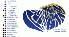
Mont Miller Ski Trail Map
Trail map from Mont Miller, which provides downhill skiing. This ski area has its own website.
21 miles away
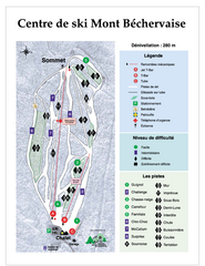
Mont Bechervaise Ski Trail Map
Trail map from Mont Bechervaise, which provides downhill skiing. This ski area has its own website.
33 miles away
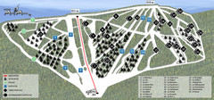
Ski Mont Miller Map
35 miles away
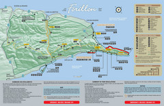
Forillon National Park Map
Official map of Forillon National Park at the tip of the Gaspe Peninsula in Quebec, Canada. Shows...
38 miles away
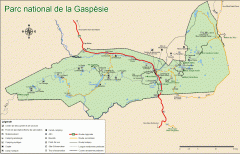
Gaspesie National Park Map - Summer
Official SEPAQ map of Gaspesie National Park in the Gaspe Peninsula, Quebec. Show trails, huts...
53 miles away
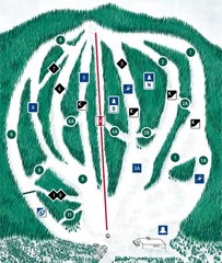
CPA Haute Gaspesie Ski Trail Map
Trail map from CPA Haute Gaspesie, which provides downhill skiing. This ski area has its own...
64 miles away
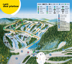
Gallix Ski Trail Map
Trail map from Gallix, which provides downhill skiing. This ski area has its own website.
102 miles away
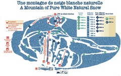
Mont Restigouche Ski Trail Map
Trail map from Mont Restigouche.
104 miles away
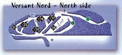
Val D’Irene North Side Ski Trail Map
Trail map from Val D’Irene, which provides downhill and nordic skiing. This ski area has its own...
121 miles away
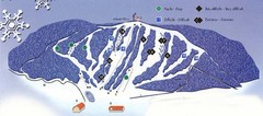
Val D’Irene South Side Ski Trail Map
Trail map from Val D’Irene, which provides downhill and nordic skiing. This ski area has its own...
121 miles away
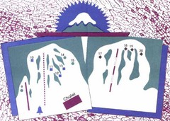
Mont Ti-Basse Ski Trail Map
Trail map from Mont Ti-Basse.
139 miles away
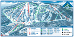
Parc du Mont-Comi Ski Trail Map
Trail map from Parc du Mont-Comi, which provides downhill skiing. This ski area has its own website.
148 miles away
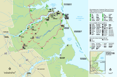
Kouchibouguac National Park Map
Official park map of Kouchibouguac National Park, New Brunswick. Shows hiking trails, services...
161 miles away
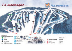
Val Neigette Ski Trail Map
Trail map from Val Neigette, which provides downhill skiing. This ski area has its own website.
162 miles away
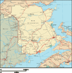
New Brunswick Map
Detailed New Brunswick Map
183 miles away
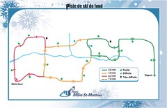
Mont Saint-Mathieu Ski Trail Map
Trail map from Mont Saint-Mathieu, which provides downhill and nordic skiing. This ski area has its...
191 miles away
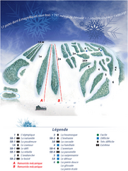
Mont Saint-Mathieu Ski Trail Map
Trail map from Mont Saint-Mathieu, which provides downhill and nordic skiing. This ski area has its...
191 miles away
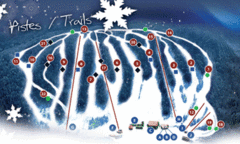
Mont Farlagne Ski Trail Map
Trail map from Mont Farlagne, which provides downhill skiing. This ski area has its own website.
192 miles away
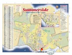
Summerside Tourist Map
Tourist map of Summerside, Prince Edward Island. Shows street index, mural tour, attractions, and...
198 miles away
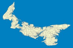
Prince Edward Island Road map
Road map of Prince Edward Island
201 miles away
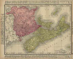
Nova Scotia Map 1896
Nova Scotia and New Brunswick map, 1896
208 miles away
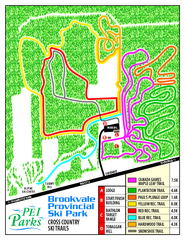
Brookvale Provincial Park Nordic Ski Trail Map
Trail map from Brookvale Provincial Park, which provides downhill and nordic skiing. This ski area...
212 miles away
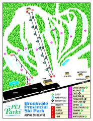
Brookvale Provincial Park Ski Trail Map
Trail map from Brookvale Provincial Park, which provides downhill and nordic skiing. This ski area...
212 miles away
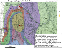
Presque Isle Geologic Map
Presque Isle Geology Field Trip Guide
215 miles away
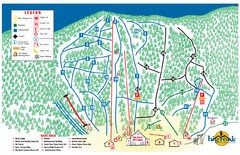
Big Rock Ski Trail Map
Trail map from Big Rock, which provides downhill, night, nordic, and terrain park skiing. It has 5...
220 miles away
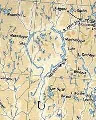
rené-levasseur island Manicouagan Reservoi...
Manicouagan Reservoir (also Lake Manicouagan) is a lake in central Quebec, Canada. Due to its...
223 miles away
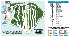
Crabbe Mountain Ski Trail Map
Official ski trail map of Crabbe Mountain ski area. 853 ft vertical, highest in New Brunswick
228 miles away
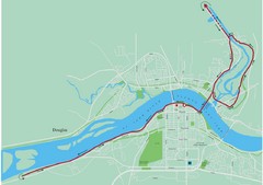
Fredericton Marathon Course Map 2007
Course map of the Fredericton, New Brunswick marathon May 2007
231 miles away
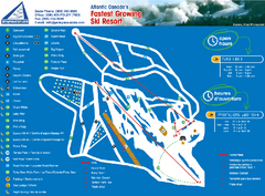
Poley Mountain Ski Trail Map
Trail map from Poley Mountain, which provides downhill skiing. This ski area has its own website.
239 miles away
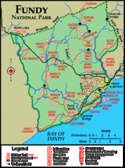
Fundy National Park Map
Official Parks Canada park map of Fundy National Park, New Brunswick. Shows trails, camping spots...
242 miles away
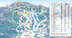
Mont Edouard Ski Trail Map
Trail map from Mont Edouard, which provides downhill skiing. This ski area has its own website.
246 miles away
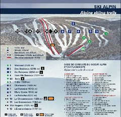
Mont Grand Fonds Ski Trail Map
Trail map from Mont Grand Fonds, which provides downhill and nordic skiing. This ski area has its...
248 miles away
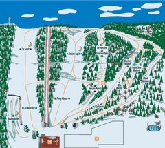
Station plein Air St-Pacome Ski Trail Map
Trail map from Station plein Air St-Pacome, which provides downhill skiing. This ski area has its...
252 miles away
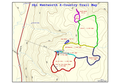
Ski Wentworth Nordic Ski Trail Map
Trail map from Ski Wentworth, which provides downhill and nordic skiing. This ski area has its own...
254 miles away
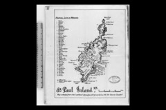
St Paul Island Wreck Map
Shipwreck map of St. Paul Island, Nova Scotia
264 miles away
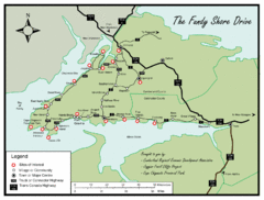
Bay of Fundy Tourist Map
Shows sites of interest along Fundy Shore driving route in Nova Scotia
264 miles away
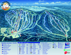
Le Valinouet Ski Trail Map
Trail map from Le Valinouet, which provides downhill and nordic skiing. This ski area has its own...
265 miles away

