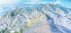
Sunday River Ski Resort Ski Trail Map
Trail map from Sunday River Ski Resort.
290 miles away
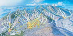
Sunday River Ski Trail map 2006-07
Official ski trail map of Sunday River ski area from the 2006-2007 season.
290 miles away
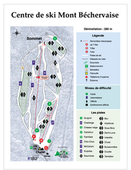
Mont Bechervaise Ski Trail Map
Trail map from Mont Bechervaise, which provides downhill skiing. This ski area has its own website.
290 miles away
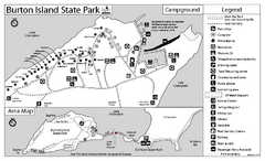
Burton Island State Park map
Campground map of Burton Island State Park in Vermont
290 miles away
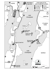
State Parks of the Champlain Islands Map
Map of the various State Parks of the Inland Sea / Lake Champlain area in Vermont
293 miles away
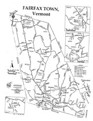
Fairfax Town Map
294 miles away
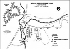
Moose Brook State Park map
Campground map of Moose Brook State Park in New Hampshire.
294 miles away
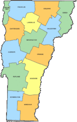
Vermont Counties Map
294 miles away
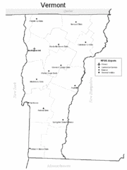
Vermont Airports Map
294 miles away
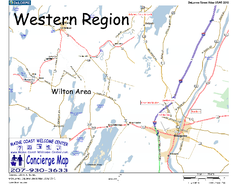
Western Maine, USA Map
Maine Coast Welcome Center's local Map of Western Maine with recommended business locations.
295 miles away
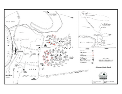
Elmore State Park map
Campground map of Elmore State Park in Vermont
296 miles away
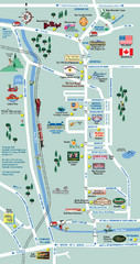
Mt. Washington Valley Restaurant Guide Map
Restaurants in Mt. Washington Valley, New Hampshire
296 miles away
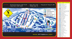
Mt. Abram Ski Resort Ski Trail Map
Trail map from Mt. Abram Ski Resort.
296 miles away
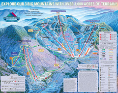
Smugglers’ Notch Resort Ski Trail Map
Trail map from Smugglers’ Notch Resort.
296 miles away
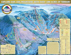
Smugglers' Notch Ski Trail map 2006-07
Official ski trail map of Smugglers' Notch (Smuggs) ski area from the 2006-2007 season.
296 miles away
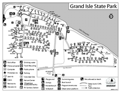
Grand Isle State Park Campground Map
Campground map for Grand Isle State Park in Vermont
297 miles away
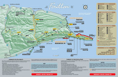
Forillon National Park Map
Official map of Forillon National Park at the tip of the Gaspe Peninsula in Quebec, Canada. Shows...
298 miles away
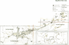
Bog River Map
298 miles away
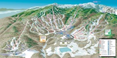
Stowe ski trail map 2006-07
Complete ski trail map of Stowe Mountain resort for 2006-2007 season.
298 miles away
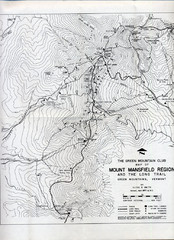
Mount Mansfield Map
Long Trail map for Green Mountains in Vermont
299 miles away
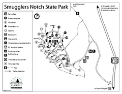
Smugglers Notch State Park Campground Map
Campground map of Smugglers Notch State Park in Vermont
299 miles away
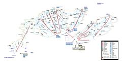
Stowe Mountain Resort Ski Trail Map
Trail map from Stowe Mountain Resort, which provides downhill, nordic, and terrain park skiing. It...
299 miles away
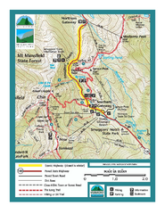
Smugglers Notch Trail Map
Trail map for Smugglers Notch State Park in Vermont
299 miles away
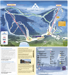
Mont Ste-Marie Ski Trail Map
Trail map from Mont Ste-Marie, which provides downhill skiing. This ski area has its own website.
300 miles away
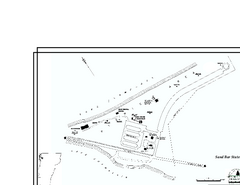
Sand Bar State Park Map
Campground map of Sand Bar State Park in Vermont
300 miles away
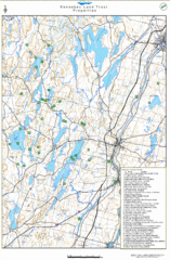
Kennebec Land Trust Map
Map of properties of the Kennebec Land Trust in Maine.
300 miles away
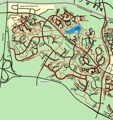
Burke Centre Area Trail Map
302 miles away
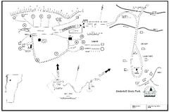
Underhill State Park Campground Map
Campground map for Underhill State Park in Vermont.
302 miles away
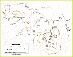
Trapp Ski Center Trail Map
Map of trails in the ski center at the Trapp Family Lodge
303 miles away
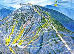
Sugarloaf Trail Map
Ski trail map of Sugarloaf mountain
303 miles away
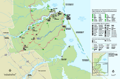
Kouchibouguac National Park Map
Official park map of Kouchibouguac National Park, New Brunswick. Shows hiking trails, services...
304 miles away
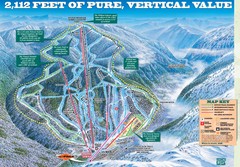
Wildcat Mountain Ski Trail Map
Trail map from Wildcat Mountain.
305 miles away
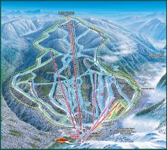
Wildcat Ski trail Map
Official ski trail map of Wildcat ski area
305 miles away
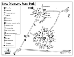
New Discovery State Park Campground Map
Campground map of New Discovery State Park in Vermont, including nearby Kettle Pond
305 miles away
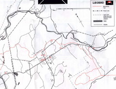
Bethlehem NH Snowmobile Trail Map
Snowmobile trail map of the Bethlehem, NH area along the Ammonoosuc River. Mount Agassiz Trail...
305 miles away
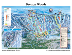
Bretton Woods Ski Area Ski Trail Map
Trail map from Bretton Woods Ski Area.
306 miles away
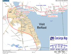
Belfast, Maine, USA Map
Maine Coast Welcome Center's local Map of Belfast, Me with recommended business locations. You...
306 miles away
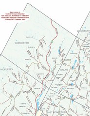
Worcester Town Map
Town map of Worcester, Vermont and surrounding areas
306 miles away
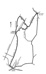
30K Race Course Map
Green Mountain Athletic Association Common to Common 30K Course Map in Essex Junction, VT
307 miles away
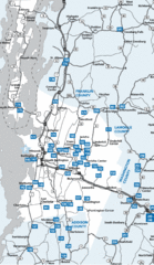
Chittenden County Map
307 miles away

