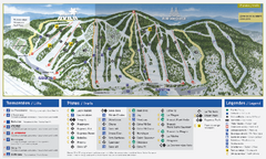
Mont Avila Ski Trail Map
Trail map from Mont Avila, which provides downhill skiing. This ski area has its own website.
245 miles away
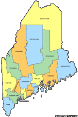
Maine Counties Map
245 miles away
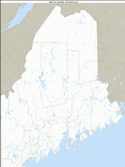
Maine Zip Code Map
Check out this Zip code map and every other state and county zip code map zipcodeguy.com.
245 miles away
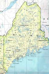
Maine Tourist Map
245 miles away
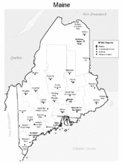
Maine Airports Map
245 miles away
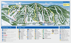
Mont Saint-Sauveur Ski Trail Map
Trail map from Mont Saint-Sauveur, which provides downhill skiing. This ski area has its own...
245 miles away
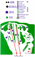
Mont Habitant Ski Trail Map
Trail map from Mont Habitant, which provides downhill skiing. This ski area has its own website.
246 miles away
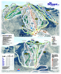
Ski Bromont Ski Trail Map
Trail map from Ski Bromont, which provides downhill skiing. This ski area has its own website.
246 miles away
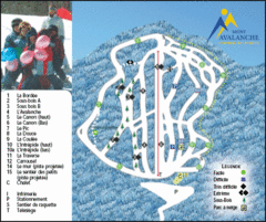
Mont Avalanche Ski Trail Map
Trail map from Mont Avalanche, which provides downhill skiing. This ski area has its own website.
246 miles away
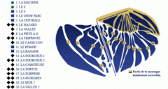
Mont Miller Ski Trail Map
Trail map from Mont Miller, which provides downhill skiing. This ski area has its own website.
247 miles away
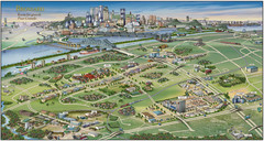
Pictorial map of Brossard
Brossard pictorial map
248 miles away
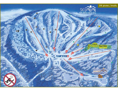
Ski Morin Heights Ski Trail Map
Trail map from Ski Morin Heights, which provides downhill skiing. This ski area has its own website.
248 miles away
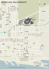
Hochelaga-Maisonneuve Map
248 miles away
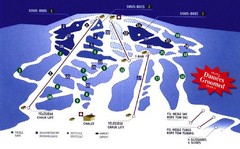
Mont Glen Ski Trail Map
Trail map from Mont Glen, which provides downhill skiing. This ski area has its own website.
249 miles away
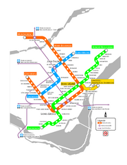
Montreal Metro Map
249 miles away
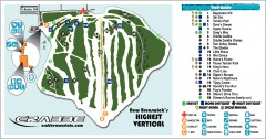
Crabbe Mountain Ski Trail Map
Official ski trail map of Crabbe Mountain ski area. 853 ft vertical, highest in New Brunswick
249 miles away
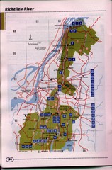
Richelieu River Guide Map
249 miles away
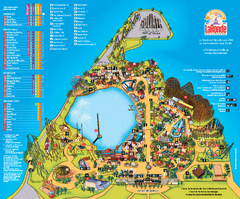
Six Flags La Ronde Theme Park Map
Official Park Map of Six Flags La Ronde Theme Park in Montreal, Quebec.
250 miles away
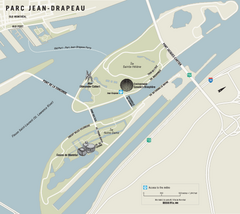
Parc Jean Drapeau Map
Park map of Parc Jean Drapeau in the St. Lawrence River, Montreal
250 miles away
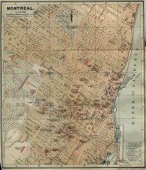
Antique map of Montreal from 1894
"Montreal" from Baedeker, Karl. The Dominion of Canada with Newfoundland and an Excursion...
251 miles away
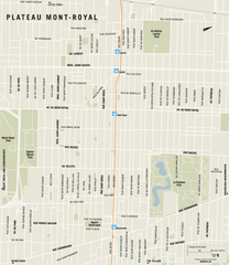
Plateau Mont Royal Map
251 miles away
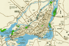
Montreal Tourist Map
251 miles away
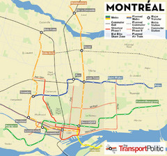
Montreal Tourist Map
251 miles away
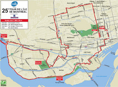
Montreal Tourist Map
251 miles away
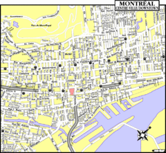
Montreal Tourist Map
251 miles away
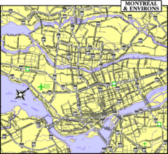
Montreal Tourist Map
251 miles away
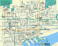
Montreal Tourist Map
251 miles away
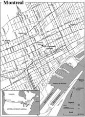
Montreal Tourist Map
251 miles away
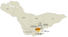
Montreal Neighborhood Map
251 miles away
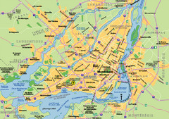
Montreal City Map
City map of Montreal with main roads
251 miles away
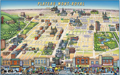
Plateau Mont-Royal Map
Pictorial view of Plateau Mont-Royal
251 miles away
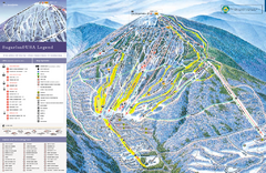
Sugarloaf Ski Trail Map
Trail map from Sugarloaf, which provides downhill, nordic, and terrain park skiing. It has 15 lifts...
251 miles away
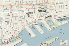
Old Montreal and Old Port Bike Map
Bike route map of Old Montreal and Old Port area
251 miles away
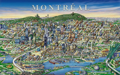
montreal Downtown Map
252 miles away
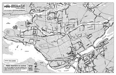
Montreal Bike Route Map
Shows city bike routes. In French.
252 miles away
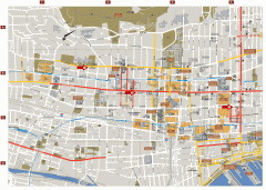
Montreal Downtown Map
Street map of downtown Montreal, Quebec. In French.
252 miles away
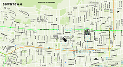
Downtown Montreal Map
Street map of central Montreal. Shows access to the metro and commuter train
252 miles away
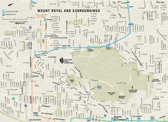
Mount Royal and Surroundings Map
252 miles away
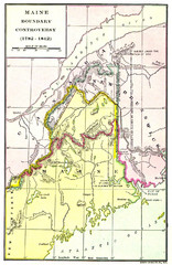
Maine Boundary Controversy 1782-1842 Map
Here you can all the British and American claims and proposals to settle the Maine boundary with...
256 miles away

