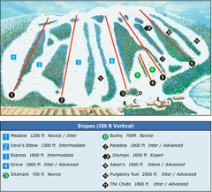
Devil’s Elbow Ski Trail Map
Trail map from Devil’s Elbow, which provides downhill skiing. This ski area has its own website.
477 miles away
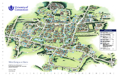
University of Connecticut - Storrs Campus Map
University of Connecticut - Storrs Campus Map. All areas shown.
478 miles away
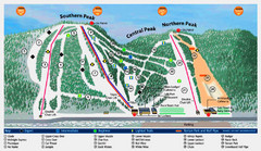
Labrador Mountain Ski Trail Map
Trail map from Labrador Mountain.
478 miles away

Mansfield Cemetery Map
479 miles away
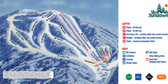
Ski Sundown Ski Trail Map
Trail map from Ski Sundown, which provides downhill and night skiing. It has 5 lifts servicing 15...
479 miles away
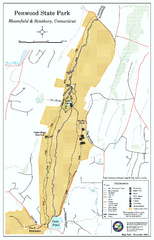
Penwood State Park map
Trail map of Penwood State Park in Connecticut.
479 miles away
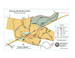
Stratton Brook State Park map
Trail map of Stratton Brook State Park in Connecticut.
479 miles away
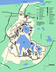
Nickerson State Park trail map
Trail map of Nickerson State Park in Massachusetts.
479 miles away
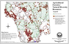
Mansfield Conservation and Development Map
Guide to Agricultural, Forestry and Natural Diversity Resources
479 miles away
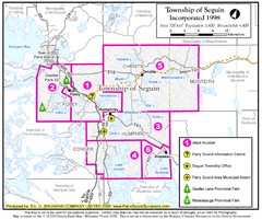
Seguin Township Map
Shows wards and parks in township of Seguin, Ontario.
479 miles away

Song Mountain Ski Trail Map
Trail map from Song Mountain.
480 miles away

Marcellus Snowmobile Trail Map
Map of snowmobile trails throughout Marcellus area
480 miles away
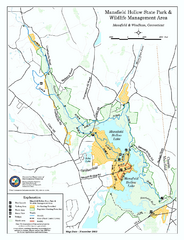
Mansfield Hollow State Park map
Map for Mansfield Hollow State Park and Wildlife Management Area in Connecticut.
480 miles away
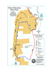
Talcott Mountain State Park map
Trail map of Talcott Mountain State Park in Connecticut.
481 miles away
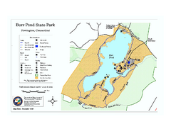
Burr Pond State Park map
Map of Burr Pond State Park in Connecticut.
481 miles away
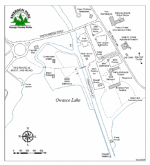
Emerson Park Map
482 miles away
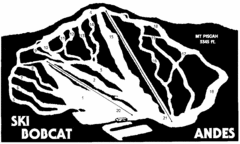
Bobcat Ski Center Ski Trail Map
Trail map from Bobcat Ski Center.
482 miles away
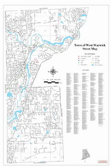
West Warwick Town Map
Street map of W. Warwick
482 miles away

Brantling Ski Slopes Ski Trail Map
Trail map from Brantling Ski Slopes.
483 miles away
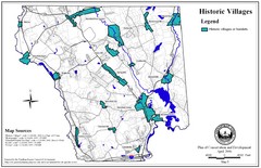
Historic Villages of Mansfield, Connecticut Map
Historical villages outlined on the map of the existing city.
483 miles away
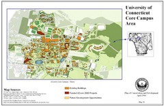
University of Connecticut Campus Map
Map shows current, funded projects and future development for UConn.
483 miles away
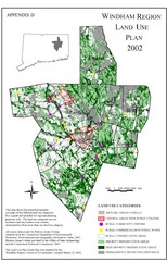
2002 Windham Region Land Use Map
Regional Land Use Guide Map for Planning Purposes
484 miles away
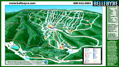
Belleayre Mountain Ski Trail Map
Trail map from Belleayre Mountain.
484 miles away
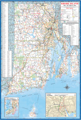
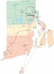
Rhode Island Road Map
Official Rhode Island state highway map. Insets show Newport and Providence.
484 miles away

Wadsworth Athenium Museum Location Map
Wadsworth Athenium visitor location map with locations of major buildings, streets, parks, and...
484 miles away

Poets Walk Trail Map
Guide to Poet's Walk and Hudson River Overlook
485 miles away
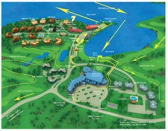
Subaru Ironman Full Resort Map
Overview of Staging areas for Ironman race,
485 miles away
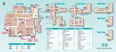
Cape Cod Hospital Map
Campus map of Cape Cod Hospital
485 miles away

Cape Cod Hospital Map
Map of external vicinity of Cape Cod Hospital
485 miles away
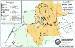
Gay City State Park trail map
Trail map of Gay City State Park in Connecticut.
485 miles away
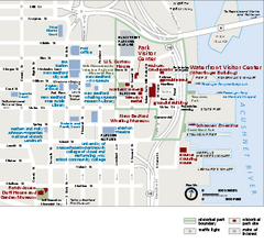
New Bedford Whaling National Historical Park...
Official NPS map of New Bedford Whaling National Historical Park in Massachusetts. Map shows all...
486 miles away
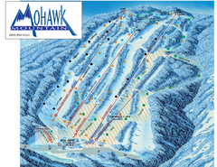
Mohawk Mountain Ski Trail Map
Ski trail map of Mohawk Mountain ski area
486 miles away

North Mohawk Mountain State Forest (Winter Trails...
Winter trail map for North Mohawk Mountain State Forest in Connecticut.
486 miles away

North Mohawk Mountain State Forest (Summer Trails...
Summer trail map of the North section of Mohawk Mountain State Forest in Connecticut.
486 miles away
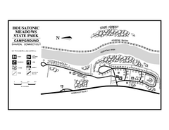
Housatonic State Forest campground map
Campground map of Housatonic State Forest in Connecticut.
486 miles away
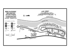
Housatonic Meadows State Park campground map
Campground map for Housatonic Meadows State Park in Connecticut.
486 miles away
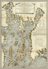
Narrangansett Bay Map 1777
"A Topographical CHART of the BAY of NARRAGANSET in the Province of NEW ENGLAND. with the...
486 miles away

Oshawa Ski Club Ski Trail Map
Trail map from Oshawa Ski Club, which provides downhill skiing. This ski area has its own website.
487 miles away
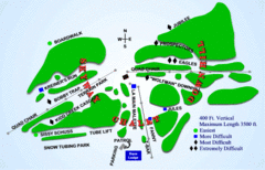
Kamiskotia Ski Resort Ski Trail Map
Trail map from Kamiskotia Ski Resort, which provides downhill skiing. This ski area has its own...
487 miles away

