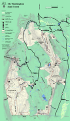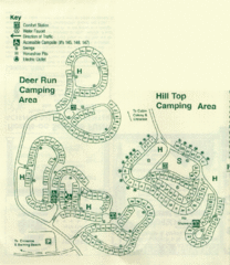
Gilbert Lake State Park Camping Map
467 miles away
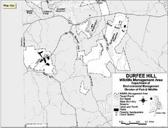
Durfee Hill Wildlife Management Area Map
468 miles away
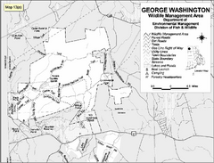
George Washington Wildlife Management Area Map
468 miles away
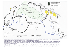
Sprague Farm - Glocester Land Trust Map
469 miles away
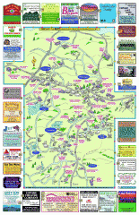
Columbia County - Boston Corners, Copake, Copake...
Tourist map of Columbia County, Mass. Includes towns of Boston Corners, Copake, Copake Falls...
469 miles away
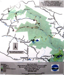
Northern Catskill Trail Map
Trail map shows hiking trails in the northern Catskills of New York. Shows trails in Windham High...
469 miles away
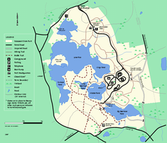
Massasoit State Park trail map
Trail map of Massasoit State Park in Massachusetts
469 miles away
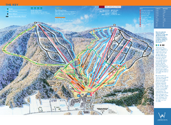
Windham Mountain Ski Trail Map
Trail map from Windham Mountain.
469 miles away
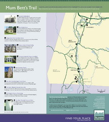
Mum Bett's Trail Map
Historic African American trail guide
470 miles away
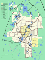
Myles Standish State Forest trail map
Summer trail map for Myles Standish State Forest.
470 miles away
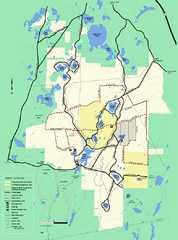
Myles Standish State Forest Winter trail map
Myles Standish State Forest winter use trail map.
470 miles away
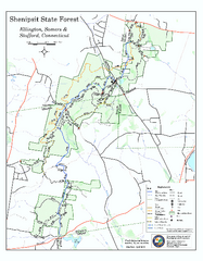
Trail map of Shenipsit State Forest
Trail map of Shenipsit State Forest in Connecticut.
470 miles away
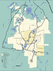
Myles Standish State Forest winter trail map
Winter activity map of all the trails and roads in Myles Standish State Park, MA. Cross country...
471 miles away
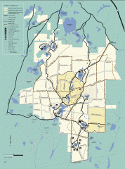
Myles Standish State Forest summer trail map
Map of all the trails and roads in Myles Standish State Park, MA. 15 miles of bicycle trails, 35...
471 miles away
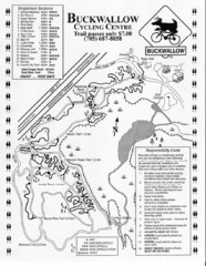
Buckwallow Trail Map
Biking trail map for Buckwallow Cycling Center
471 miles away
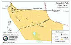
Cambell Falls State Park map
Trail map of Campbell Falls State Park Reserve in Connecticut
471 miles away
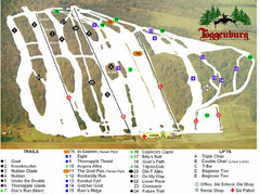
Toggenburg Ski Center Ski Trail Map
Trail map from Toggenburg Ski Center.
471 miles away
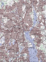
Providence Topo Map
Topo map of Providence, East Providence, Cranston, and Pawtucket, RI. Original scale 1:50,000
471 miles away
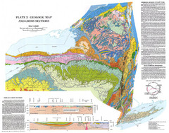
New York State Geologic Map
1:1,000,000 scale geological map of New York State
471 miles away
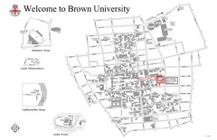
Brown University Map
473 miles away
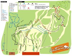
Hunter Mountain Bike Park Map
Map of bike trails in park
473 miles away
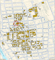
Providence, Rhode Island City Map
473 miles away
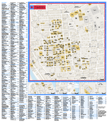
Brown University Campus Map
Official campus map of Brown University.
473 miles away
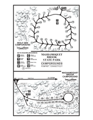
Mashamoquet Brook State Park campground map
Campground map of Mashamoquet Brook State Park in Connecticut.
474 miles away
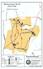
Mashamoquet Brook State Park trail map
Trail map of Mashamoquet Brook State Park in Connecticut.
474 miles away
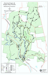
American Legion State Forest trail map
Trail map of American Legion and Peoples State Forests in Connecticut.
474 miles away
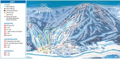
Hunter Mountain ski trail map
Official ski trail map of Hunter Mountain ski area from the 2006-2007 season.
475 miles away
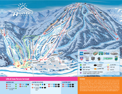
Hunter Mountain Ski Bowl Ski Trail Map
Trail map from Hunter Mountain Ski Bowl.
475 miles away
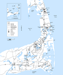
Cape Cod Rail Trail, Cape Cod, Massachusetts Map
Map of the Cape Cod Rail Trail bike path. Shows trails, restrooms, other roads and parking.
475 miles away

Brighton-Township, Ontario Map
475 miles away
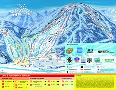
Hunter Mountain Trail Map
475 miles away
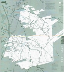
Freetown State Forest Map
Freetown State Forest Map showing mountain biking trails
476 miles away
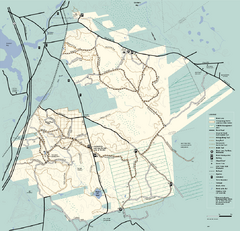
Freetown-Fall River State Forest trail map
Trail map of Freetown-Fall River State Forest in Massachusetts
476 miles away
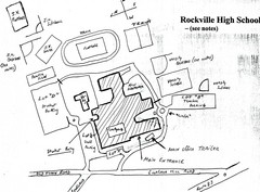
Rockville High School Map
Hand-drawn map of Rockville High School includes all buildings, Parking Lots, and sports fields.
476 miles away
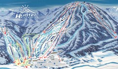
Hunter Mountain Trail Map
Ski trail map
476 miles away
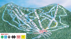
Plattekill Ski Trail Map
Official ski trail map of Plattekill ski area from the 2007-2008 season.
476 miles away
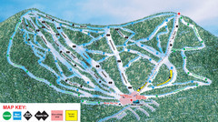
Ski Plattekill Ski Trail Map
Trail map from Ski Plattekill.
476 miles away
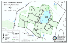
Great Pond State Park trail map
Trail map of Great Pond State Forest in Connecticut.
477 miles away
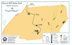
Dennis Hill State Park map
Trail map of Dennis Hill State Park in Connecticut.
477 miles away

