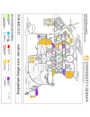
University at Albany Map
Campus Map of the University at Albany. All buildings shown.
438 miles away
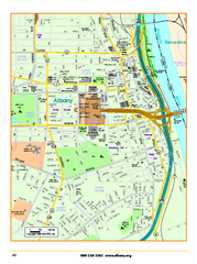
Albany downtown map
Road map of downtown Albany, NY. Shows city parks and New York State government buildings.
438 miles away
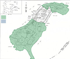
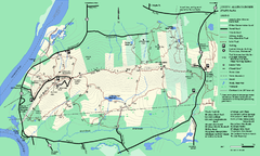
Thompson Island Easement Map
Map of Thompson Island easement. Includes roads, buildings, trails and attractions as well as the...
438 miles away
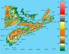
Nova Scotia Elevation Map
Nova Scotia Elevation Map with color elevation markings
438 miles away
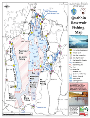
Quabbin Reservoir Fishing Map
Fishing access map of Quabbin Reservoir. Shows all ponds and submerged ponds.
438 miles away
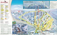
Jiminy Peak Ski Trail Map
Official ski trail map of Jiminy Peak ski area from the 2007-2008 season.
438 miles away
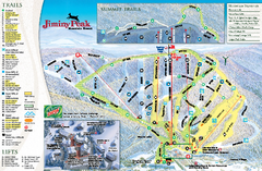
Jiminy Peak Resort Ski Trail Map
Trail map from Jiminy Peak Resort.
438 miles away
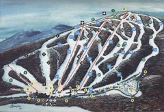
Brodie Ski Trail Map
Trail map from Brodie.
438 miles away
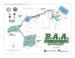
Boston Athletic Association Half Marathon Map
Guide to the Boston Half Marathon, organized by the Boston Athletic Association
438 miles away
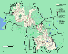
Callahan State Park trail map
Trail map of Callahan State Park in Massachusetts
438 miles away
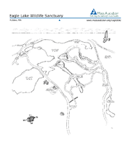
Eagle Lake Conservation Area Map
438 miles away

Jamaica Plain Bus Route Map
439 miles away
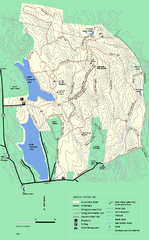
DAR State Forest winter map
Winter use map of the Daughters of the American Revolution State Forest.
440 miles away
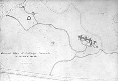
1870s Map of Wellesley College
General plan of college grounds, 1870s.
441 miles away
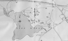
1899 Map of Wellesley College
After College Hall, the original site of Wellesley's faculty, students, classrooms, and...
441 miles away
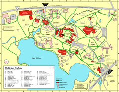
Wellesley College campus map
2008 Wellesley College campus map
441 miles away
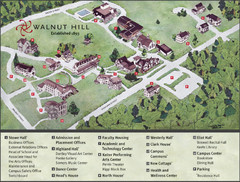
Walnut Hill School Map
Campus Map
441 miles away
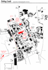
University of Massachusetts Amherst Parking Map
Map of the University of Massachusetts. Includes all buildings, streets, and parking information.
441 miles away
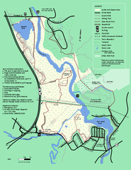
Cutler Park Reservation trail map
Trail map of Cutler Park Reservation in Massachusetts
441 miles away
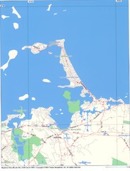
Hull Town Map
441 miles away
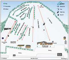
Ski Ward Ski Trail Map
Trail map from Ski Ward.
441 miles away
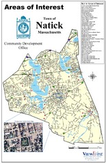
Natick Areas Of Interest Map
Shows points of interest in town of Natick, Massachusetts. Inset of downtown Natick.
441 miles away
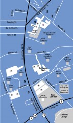
Downtown Amherst, Massachusetts Map
Tourist map of downtown Amherst, Massachusetts, showing attractions, government buildings, atms...
441 miles away
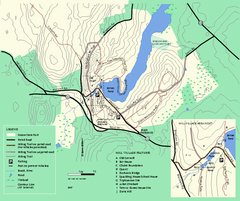
Moore State Park trail map
Trail map of Moore State Park in Massachusetts.
441 miles away
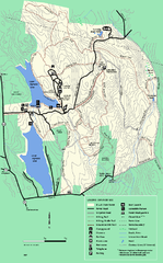
DAR State Forest summer map
Summer use map of the Daughters of the American Revolution state forest.
442 miles away
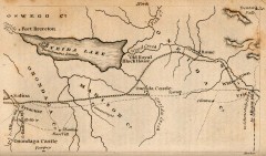
Antique map of Utica, NY from 1830
Map of Utica, NY from The Northern Traveller, and Northern Tour; with the Routes to The Springs...
442 miles away
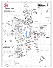
University of Massachusetts - Amherst Map
Campus Map of the University of Massachusetts - Amherst. All buildings shown.
442 miles away
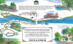
New Glasglow Town Trail Map
Walking trail map of trails in New Glasglow, Nova Scotia. Shows 3 trails: Samson Trail, Pioneer...
442 miles away
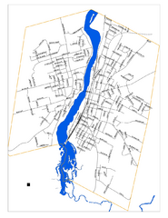
New Glasglow Street Map
Street map of town of New Glasglow, Nova Scotia
442 miles away
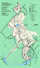
Stony Brook Reservation trail map
Trail map of the Stony Brook Reservation in Massachusetts.
442 miles away
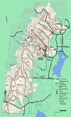
Pittsfield State Forest winter trail map
Winter use trail map of Pittsfield State Forest in Massachusetts.
443 miles away
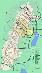
Pittsfield State Forest summer trail map
Summer use trail map of Pittsfield State Forest in Massachusetts.
443 miles away
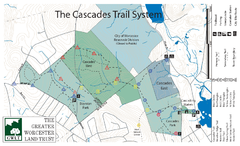
Cascades Park Map
443 miles away
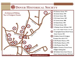
Dover Architectural Walking Map
Architectural walking tour of Hodgson Houses
443 miles away
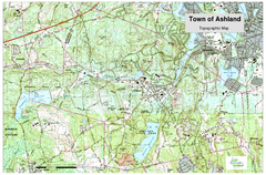
Ashland, MA - Topo Map
Map is provided by the town of Ashland, MA. See town's website for additional maps and...
443 miles away
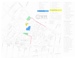
Worcester Polytechnic Institute Campus Map
Map of Worcester Polytechnic Institute. Includes all buildings, parking, streets, and location of...
443 miles away
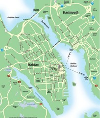
Halifax Area Map
Streets, roads and points of interest are all clearly marked on this map.
444 miles away
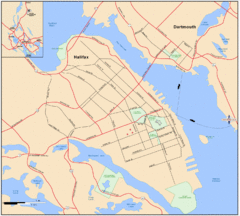
Halifax Dartmouth Map
Guide to the Halifax and Dartmouth Region
444 miles away

