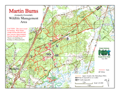
Downfall/Martin Burns WMA Map
407 miles away
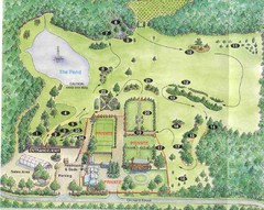
Newbury Perrenial Gardens Guide Map
408 miles away
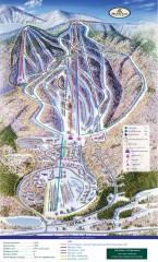
Haystack Club Ski Trail map
Official ski trail map of Haystack ski area from the 2006-2007 season.
408 miles away
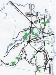
Nashua Parks Map
Map of Nashua, New Hampshire parks
409 miles away
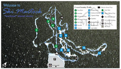
Ski Martock Nordic Ski Trail Map
Trail map from Ski Martock, which provides downhill and nordic skiing. This ski area has its own...
409 miles away
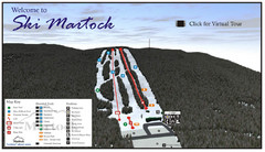
Ski Martock Ski Trail Map
Trail map from Ski Martock, which provides downhill and nordic skiing. This ski area has its own...
409 miles away
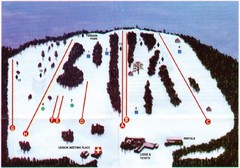
Ski Bradford Ski Trail Map
Trail map from Ski Bradford.
409 miles away
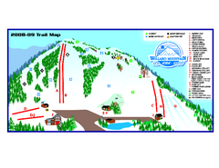
Willard Mountain Ski Area Ski Trail Map
Trail map from Willard Mountain Ski Area.
410 miles away
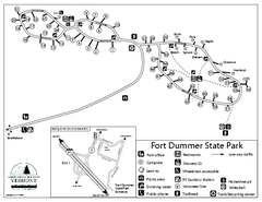
Fort Dummer State Park Campground Map
Campground map of Fort Dummer State Park in Vermont
410 miles away
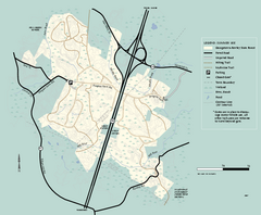
Georgetown-Rowley State Forest summer use map
Summer use map for Georgetown-Rowley State Forest.
412 miles away
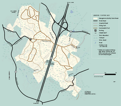
Georgetown-Rowley State Forest winter use map
Winter use map for the Georgetown-Rowley State Forest in Massachusetts.
412 miles away
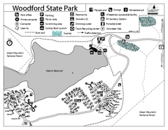
Woodford State Park Campground Map
Campground map for Woodford State Park in Vermont
412 miles away
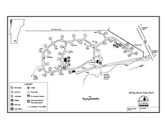
Molly Stark State Park Campground Map
Campground map for Molly State State Park in Vermont
412 miles away
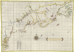
Velasco Map 1610
413 miles away
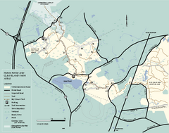
Willowdale State Forest map of Hood Pond
Trail map of the Hood Pond area of the Willowdale State Park in Massachusetts.
414 miles away
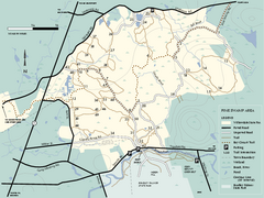
Willowdale State Forest map of Pine Swamp
Trail map of the Pine Swamp area of Willowdale State Park in Massachusetts.
414 miles away
Mt. Watatic to Wachusett Mountain, Massachusetts...
415 miles away
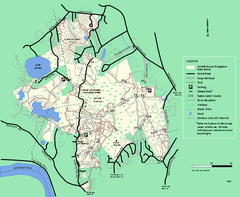
Lowell-Dracut-Tyngsboro State Forest trail map
Trail map for the Lowell-Dracut-Tyngsboro State Forest in Massachusetts
415 miles away
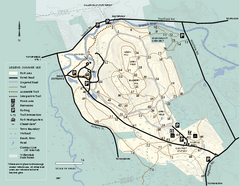
Bradley Palmer State Park summer map
Summer use map of Bradley Palmer State Park in Massachusetts
415 miles away
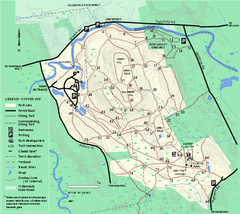
Bradley Palmer State Park winter map
Winter trail map of Bradley Palmer State Park.
416 miles away
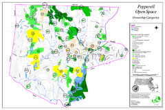
Pepperell Conservation Land and Open Spaces Map
Map showing conservation land and open spaces in Pepperell, MA.
416 miles away
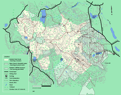
Boxford State Park trail map
Trail map of Boxford State Forest in Massachusetts
416 miles away
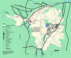
Willard Brook State Forest trail map
Trail map of Willard Brook State Forest in Massachusetts.
417 miles away
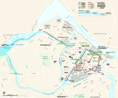
Lowell National Historical Park Official Map
Official NPS map of Lowell National Historical Park in Lowell, Massachusetts. Map shows all of...
417 miles away
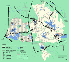
Harold Parker State Forest trail map
Trail map of Harold Parker State Forest in Massachusetts
418 miles away
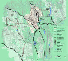
Mt. Grace State Forest trail map
Trail map of Mt. Grace State Forest near Warwick, Massachusetts.
419 miles away
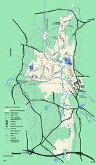
Otter River State Forest winter trail map
Winter usage trail map for Otter River State Park in Massachusetts.
421 miles away
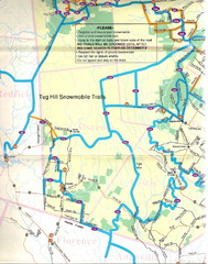
Tug Hill Trail Map
Tug Hill Area Snow Mobile Trail Map
421 miles away
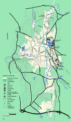
Otter River State Forest summer trail map
Summer trail map of the Otter River State Forest area in Massachusetts.
421 miles away
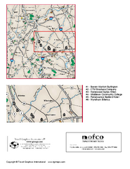
Greater Merrimack Valley, Massachusetts Map
Tourist map of greater Merrimack Valley, Massachusetts. Lodging, forests, and other points of...
422 miles away
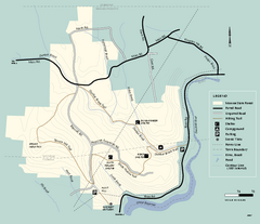
Monroe State Forest trail map
Trail map of Monroe State Forest in Massachusetts.
423 miles away
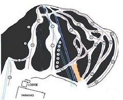
Royal Mountain Ski Trail Map
Trail map from Royal Mountain.
423 miles away
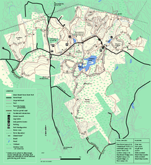
Great Brook Farm State Park trail map
Trail map of Great Brook Farm State Park.
423 miles away
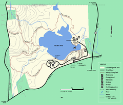
Clarksburg State Park trail map
Trail map of Clarksburg State Park in Massachusetts.
423 miles away
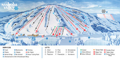
Nashoba Valley Ski Area Ski Trail Map
Trail map from Nashoba Valley Ski Area.
424 miles away
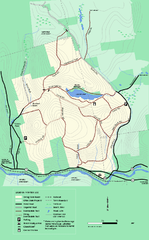
Erving State Park winter use map
Winter use map of the Erving State Park in Massachusetts
424 miles away
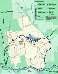
Erving Summer trail map
Summer use map of Erving State Park in Massachusetts.
424 miles away
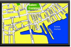
Salem, Massachusetts Guide Map
425 miles away
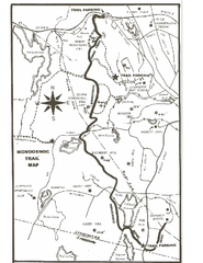
Monoosnoc Trail Map
426 miles away
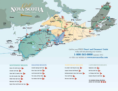
Nova Scotia Golf Map
Golf map of province of Nova Scotia, Canada. Shows 21 golf courses.
426 miles away

