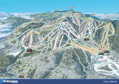
Killington Ski Trail Map 2008
Ski trail map of Killington ski area as of 2008
246 miles away
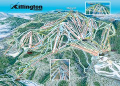
Killington Ski Trail Map
Official ski trail map of Killington ski area.
246 miles away
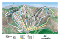
Ragged Mountain Ski Trail Map
Trail map from Ragged Mountain.
246 miles away
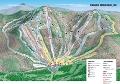
Ragged Mountain Ski Trail Map
Trail map from Ragged Mountain.
246 miles away
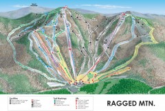
Ragged Mountain Ski trail Map
Official ski trail map of Ragged Mountain ski area from the 2007-2008 season.
247 miles away
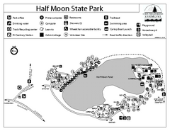
Half Moon State Park Campground Map
Campground map of Half Moon State Park in Vermont
247 miles away
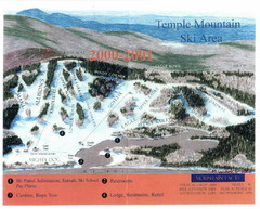
Temple Mountain Last year open—Credited to...
Trail map from Temple Mountain. This ski area opened in 1937.
247 miles away
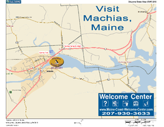
Machias, Maine, USA Map
Maine Coast Welcome Center's local Map of Machias, Me with recommended business locations.
247 miles away
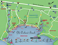
Old Orchard Beach Tourist Map
248 miles away
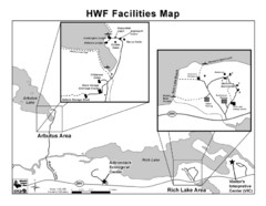
Adirondack Map
Map of Adirondack Park Reserve. Shows Rich Lake Area, Arbutus Area, and the location of the...
249 miles away
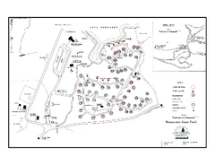
Bomoseen State Park map
Campground map of Bomoseen State Park in Vermont
250 miles away
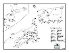
Coolidge State Park Campground Map
Campground map of Coolidge State Park in Vermont
250 miles away
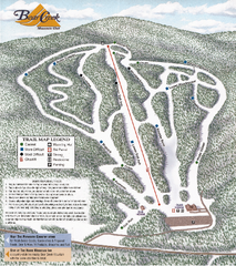
Bear Creek Mountain Club Ski Trail map
Official ski trail map of Bear Creek Mountain ski area.
251 miles away
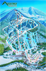
Ascutney Mountain Ski Trail Map 2006-07
Official ski trail map of Ascutney ski area from the 2006-2007 season.
252 miles away
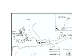
Ascutney State Park map
Campground map of Ascutney State Park in Vermont
253 miles away

Ogdensburg, New York Historical Map
A wonderful highlight are the art reproductions of homes and buildings which surround the map...
255 miles away
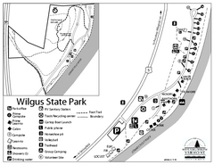
Wilgus State Park Campground Map
Campground map for Wilgus State Park in Vermont
256 miles away
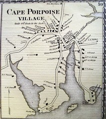
Cape Porpoise Village Map
257 miles away
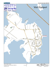
Eastport, Maine, USA Map
Maine Coast Welcome Center's local Map of Eastport, Me with recommended business locations.
257 miles away
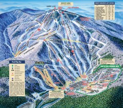
Mt. Sunapee Ski Trail Map
Official ski trail map of Mt. Sunapee ski area from the 2007-2008 season.
258 miles away
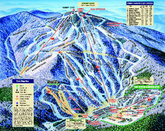
Mount Sunapee Ski Area Ski Trail Map
Trail map from Mount Sunapee Ski Area.
258 miles away
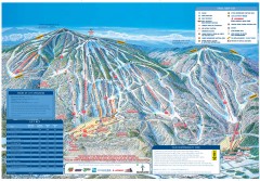
Okemo Mountain Resort ski trail map 2006-07
Official ski trail map of Okemo ski area for the 2006-2007 season. Slopes & Trails 624 acres...
259 miles away
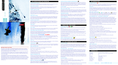
Okemo Mountain Resort Ski Trail Map
Trail map from Okemo Mountain Resort.
259 miles away
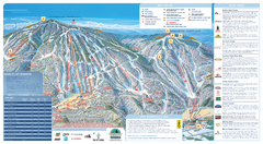
Okemo Ski Trail Map
Ski trail map of Okemo ski area. A James Niehues creation.
259 miles away
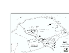
Camp Plymouth State Park map
Map of Camp Plymouth Park in Vermont.
259 miles away
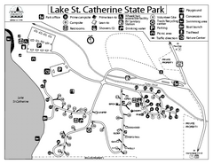
Lake St. Catherine State Park Campground Map
Campground map of St. Catherine State Park in Vermont
261 miles away
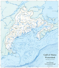
Gulf of Maine Watershed Map
Gulf of Maine watershed map without political boundaries showing major river basins. Shows entire...
262 miles away

Arnprior Downtown Map
Arnprior, Ontario, Canada
262 miles away
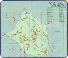
Chester Town Map
264 miles away
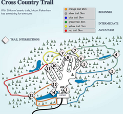
Mount Pakenham Nordic Ski Trail Map
Trail map from Mount Pakenham, which provides downhill and nordic skiing. This ski area has its own...
265 miles away
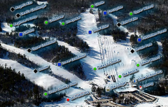
Mount Pakenham Ski Trail Map
Trail map from Mount Pakenham, which provides downhill and nordic skiing. This ski area has its own...
265 miles away
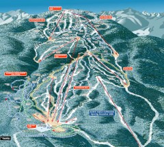
Gore Mountain Ski Trail Map
Official ski trail map of Gore Mountain ski area from the 2007-2008 season.
265 miles away
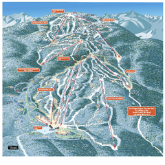
Gore Mountain Ski Trail Map
Trail map from Gore Mountain.
265 miles away
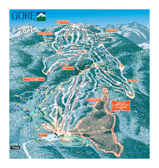
Gore Mountain Ski Trail Map
Trail map from Gore Mountain.
265 miles away
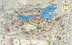
St. Paul's School Campus Map
Campus map of St. Paul's School
265 miles away
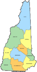
New Hampshire Counties Map
265 miles away
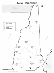
New Hampshire Airports Map
265 miles away
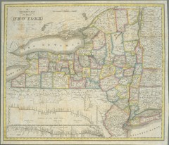
1831 Antique New York State map
The tourist's map of the state of New York : compiled from the latest authorities in the...
266 miles away
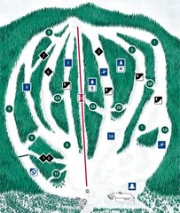
CPA Haute Gaspesie Ski Trail Map
Trail map from CPA Haute Gaspesie, which provides downhill skiing. This ski area has its own...
266 miles away
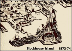
Blockhouse Island Map 1874
Bird’s Eye view map of Brockville created by artist Herman Brosius and the lithographers...
267 miles away

