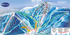
Mont Orford Ski Trail Map
Trail map from Mont Orford, which provides downhill and nordic skiing. This ski area has its own...
125 miles away
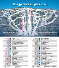
Ski Mont Shefford Ski Trail Map
Trail map from Ski Mont Shefford, which provides downhill skiing. This ski area has its own website.
128 miles away
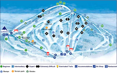
Val Saint-Come Ski Trail Map
Trail map from Val Saint-Come, which provides downhill skiing. This ski area has its own website.
129 miles away
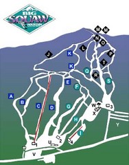
Big Squaw Ski Trail Map
Trail map from Big Squaw, which provides downhill skiing. It has 2 lifts; the longest run is 2253...
133 miles away
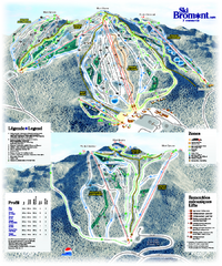
Ski Bromont Ski Trail Map
Trail map from Ski Bromont, which provides downhill skiing. This ski area has its own website.
134 miles away
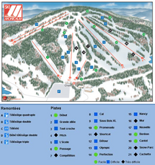
Ski Montcalm Ski Trail Map
Trail map from Ski Montcalm, which provides downhill skiing. This ski area has its own website.
135 miles away
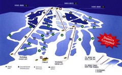
Mont Glen Ski Trail Map
Trail map from Mont Glen, which provides downhill skiing. This ski area has its own website.
135 miles away
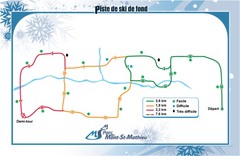
Mont Saint-Mathieu Ski Trail Map
Trail map from Mont Saint-Mathieu, which provides downhill and nordic skiing. This ski area has its...
135 miles away
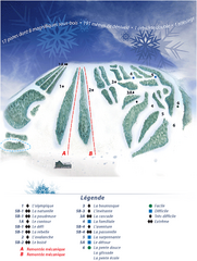
Mont Saint-Mathieu Ski Trail Map
Trail map from Mont Saint-Mathieu, which provides downhill and nordic skiing. This ski area has its...
135 miles away
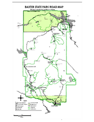
Baxter State Park overview map
Overview map of Baxter State Park. There are 46 mountain peaks and ridges, 18 of which exceed an...
136 miles away
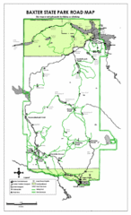
Baxter State Park Road Map
137 miles away
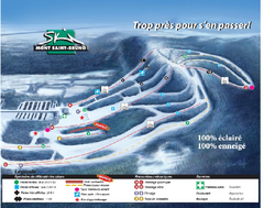
Mont Saint-Bruno Ski Trail Map
Trail map from Mont Saint-Bruno, which provides downhill skiing. This ski area has its own website.
138 miles away
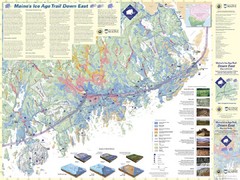
Maine's Ice Age Trail Map
140 miles away
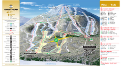
Owl’s Head Ski Trail Map
Trail map from Owl’s Head, which provides downhill skiing. This ski area has its own website.
142 miles away
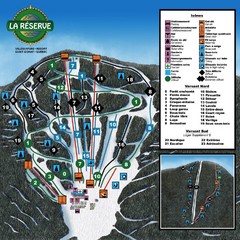
La Resérve Ski Trail Map
Trail map from La Resérve, which provides downhill skiing. This ski area has its own website.
142 miles away
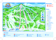
Mont Garceau Ski Trail Map
Trail map from Mont Garceau, which provides downhill and nordic skiing. This ski area has its own...
143 miles away
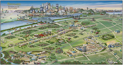
Pictorial map of Brossard
Brossard pictorial map
143 miles away
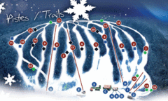
Mont Farlagne Ski Trail Map
Trail map from Mont Farlagne, which provides downhill skiing. This ski area has its own website.
143 miles away
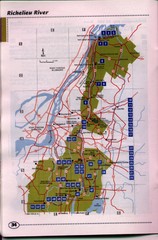
Richelieu River Guide Map
144 miles away
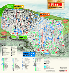
Mont Sutton Ski Trail Map
Trail map from Mont Sutton, which provides downhill skiing. This ski area has its own website.
145 miles away
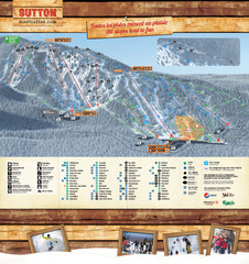
Mont Sutton Trail map
145 miles away
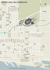
Hochelaga-Maisonneuve Map
145 miles away
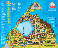
Six Flags La Ronde Theme Park Map
Official Park Map of Six Flags La Ronde Theme Park in Montreal, Quebec.
146 miles away
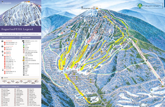
Sugarloaf Ski Trail Map
Trail map from Sugarloaf, which provides downhill, nordic, and terrain park skiing. It has 15 lifts...
147 miles away
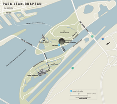
Parc Jean Drapeau Map
Park map of Parc Jean Drapeau in the St. Lawrence River, Montreal
147 miles away
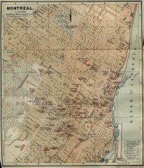
Antique map of Montreal from 1894
"Montreal" from Baedeker, Karl. The Dominion of Canada with Newfoundland and an Excursion...
147 miles away
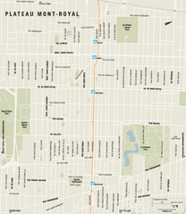
Plateau Mont Royal Map
148 miles away
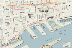
Old Montreal and Old Port Bike Map
Bike route map of Old Montreal and Old Port area
148 miles away
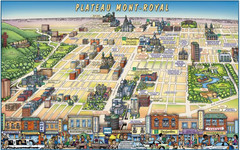
Plateau Mont-Royal Map
Pictorial view of Plateau Mont-Royal
148 miles away
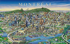
montreal Downtown Map
149 miles away
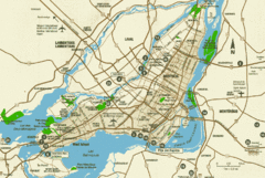
Montreal Tourist Map
149 miles away
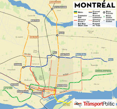
Montreal Tourist Map
149 miles away
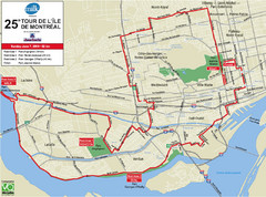
Montreal Tourist Map
149 miles away
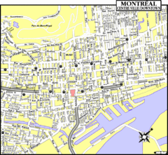
Montreal Tourist Map
149 miles away
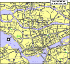
Montreal Tourist Map
149 miles away
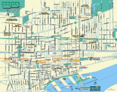
Montreal Tourist Map
149 miles away
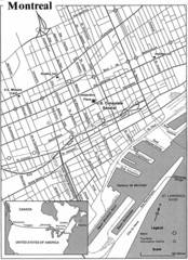
Montreal Tourist Map
149 miles away
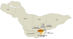
Montreal Neighborhood Map
149 miles away
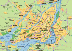
Montreal City Map
City map of Montreal with main roads
149 miles away
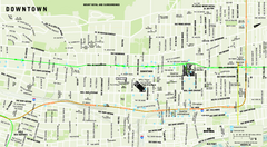
Downtown Montreal Map
Street map of central Montreal. Shows access to the metro and commuter train
149 miles away

