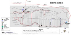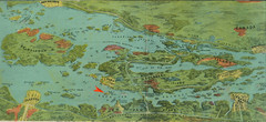
Wellesley Island Illustrated Map
Colorized illustration from "Thousand Islands" viewbook.
291 miles away
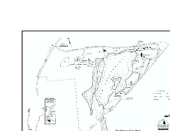
Shaftsbury State Park Map
Campground map of Shaftsbury State Park in Vermont.
291 miles away
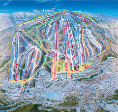
Mount Snow Ski Trail Map - main face
Trail map of main face of Mt Snow ski area near Wilmington, Vermont
291 miles away
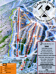
Mount Snow Carinthia Terrain Park Ski Trail Map
Trail map from Mount Snow.
291 miles away
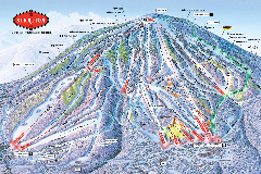
Stratton Mountain Resort Ski Trail Map
Trail map from Stratton Mountain Resort.
291 miles away
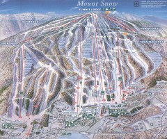
Mount Snow Trail Map 2001
Ski trail map of Mount Snow ski area, estimated 2001
291 miles away
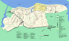
Maudslay State Park trail map
Trail Map of Maudslay State Park in Massachusetts.
291 miles away
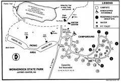
Monadnock State Park map
Campground map of Monadnock State Park in New Hampshire
291 miles away
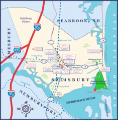
Salisbury Town Map
292 miles away
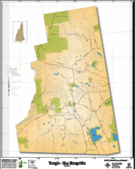
Temple NH Topo Map
Topographical map of Temple, NH area. Shows all roads and points of interest.
292 miles away
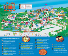
Canobie Lake Park Map
293 miles away
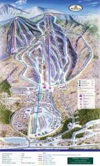
Haystack Club Ski Trail map
Official ski trail map of Haystack ski area from the 2006-2007 season.
293 miles away
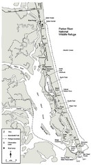
Parker River Map
Map of Parker River National Wildlife Refuge for birdlife
294 miles away
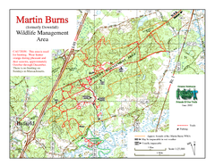
Downfall/Martin Burns WMA Map
295 miles away
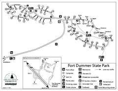
Fort Dummer State Park Campground Map
Campground map of Fort Dummer State Park in Vermont
295 miles away
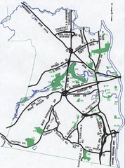
Nashua Parks Map
Map of Nashua, New Hampshire parks
295 miles away
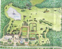
Newbury Perrenial Gardens Guide Map
296 miles away
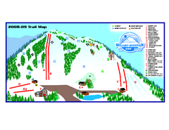
Willard Mountain Ski Area Ski Trail Map
Trail map from Willard Mountain Ski Area.
296 miles away
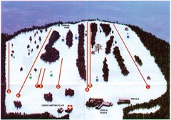
Ski Bradford Ski Trail Map
Trail map from Ski Bradford.
297 miles away
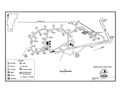
Molly Stark State Park Campground Map
Campground map for Molly State State Park in Vermont
297 miles away
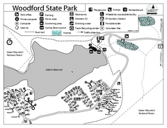
Woodford State Park Campground Map
Campground map for Woodford State Park in Vermont
297 miles away
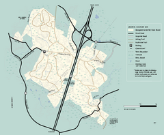
Georgetown-Rowley State Forest summer use map
Summer use map for Georgetown-Rowley State Forest.
300 miles away
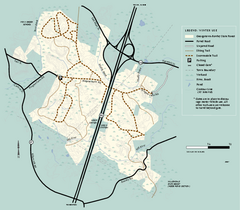
Georgetown-Rowley State Forest winter use map
Winter use map for the Georgetown-Rowley State Forest in Massachusetts.
300 miles away
Mt. Watatic to Wachusett Mountain, Massachusetts...
301 miles away
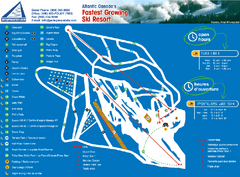
Poley Mountain Ski Trail Map
Trail map from Poley Mountain, which provides downhill skiing. This ski area has its own website.
301 miles away
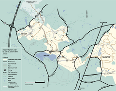
Willowdale State Forest map of Hood Pond
Trail map of the Hood Pond area of the Willowdale State Park in Massachusetts.
302 miles away
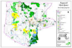
Pepperell Conservation Land and Open Spaces Map
Map showing conservation land and open spaces in Pepperell, MA.
302 miles away
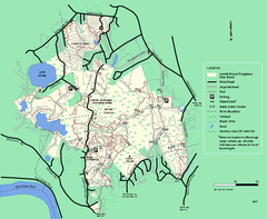
Lowell-Dracut-Tyngsboro State Forest trail map
Trail map for the Lowell-Dracut-Tyngsboro State Forest in Massachusetts
302 miles away
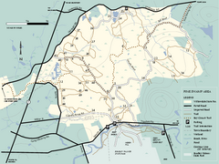
Willowdale State Forest map of Pine Swamp
Trail map of the Pine Swamp area of Willowdale State Park in Massachusetts.
302 miles away
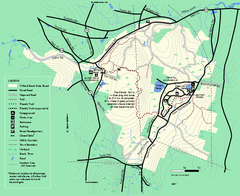
Willard Brook State Forest trail map
Trail map of Willard Brook State Forest in Massachusetts.
303 miles away
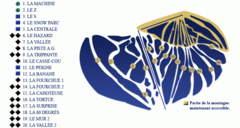
Mont Miller Ski Trail Map
Trail map from Mont Miller, which provides downhill skiing. This ski area has its own website.
304 miles away
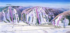
Snow Ridge Ski Trail Map
Trail map from Snow Ridge.
304 miles away
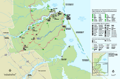
Kouchibouguac National Park Map
Official park map of Kouchibouguac National Park, New Brunswick. Shows hiking trails, services...
304 miles away
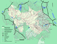
Boxford State Park trail map
Trail map of Boxford State Forest in Massachusetts
304 miles away
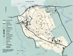
Bradley Palmer State Park summer map
Summer use map of Bradley Palmer State Park in Massachusetts
304 miles away
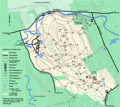
Bradley Palmer State Park winter map
Winter trail map of Bradley Palmer State Park.
304 miles away
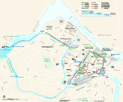
Lowell National Historical Park Official Map
Official NPS map of Lowell National Historical Park in Lowell, Massachusetts. Map shows all of...
304 miles away
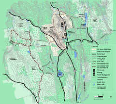
Mt. Grace State Forest trail map
Trail map of Mt. Grace State Forest near Warwick, Massachusetts.
305 miles away
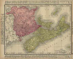
Nova Scotia Map 1896
Nova Scotia and New Brunswick map, 1896
305 miles away

