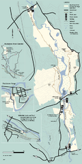
Blackstone Trail Map
Map of Blackstone River State Park in Massachusetts.
301 miles away
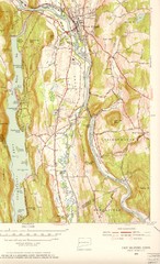
New Milford, Connecticut Map
New Milford, Connecticut topo map with roads, streets and buildings identified
301 miles away
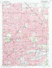
Northeast Buffalo Topo Map
1:24,000 topographic map of the northeast part of Buffalo, New York and surrounding suburbs...
301 miles away
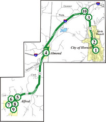
Alfred-Hornell Bus Route Map
301 miles away

Humber College North Campus Parking Map
302 miles away

Mansfield Cemetery Map
302 miles away
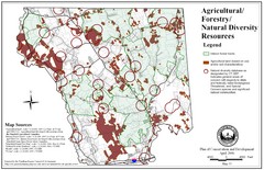
Mansfield Conservation and Development Map
Guide to Agricultural, Forestry and Natural Diversity Resources
302 miles away

Humber College North Campus Map
302 miles away
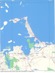
Hull Town Map
302 miles away
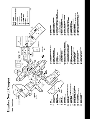
Humber College North Campus Map
Humber College North Campus Map. Shows all buildings.
302 miles away
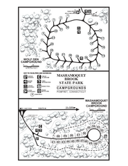
Mashamoquet Brook State Park campground map
Campground map of Mashamoquet Brook State Park in Connecticut.
302 miles away
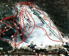
Woodbury Ski Area Ski Trail Map
Trail map from Woodbury Ski Area, which provides downhill, night, nordic, and terrain park skiing...
302 miles away
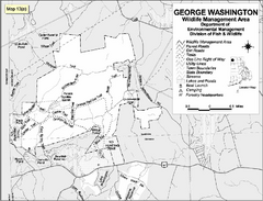
George Washington Wildlife Management Area Map
302 miles away
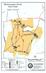
Mashamoquet Brook State Park trail map
Trail map of Mashamoquet Brook State Park in Connecticut.
302 miles away
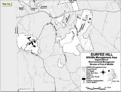
Durfee Hill Wildlife Management Area Map
302 miles away
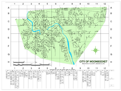
Woonsocket Street Map
Street map of Woonsocket, Rhode Island. Shows street legend.
303 miles away
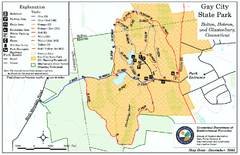
Gay City State Park trail map
Trail map of Gay City State Park in Connecticut.
303 miles away
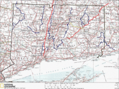
Connecticut Long Distance Trails Map
A map of long distance trails throughout Connecticut. Go to the website below for detailed trail...
303 miles away
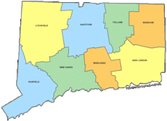
Connecticut Counties Map
303 miles away
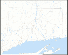
Connecticut Zip Code Map
Check out this Zip code map and every other state and county zip code map zipcodeguy.com.
303 miles away
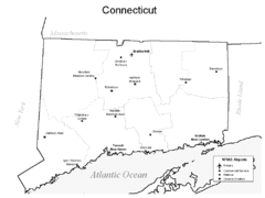
Conneticut Airports Map
303 miles away
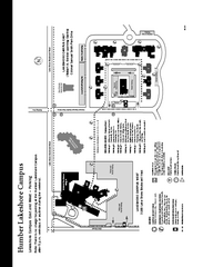
Humber College Lakeshore Campus Map
Humber College Lakeshore Campus Map. Map is of both East and West Campus. Shows all buildings.
303 miles away

1978 Bradford County, Pennsylvania Map
303 miles away
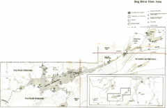
Bog River Map
303 miles away
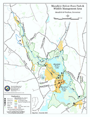
Mansfield Hollow State Park map
Map for Mansfield Hollow State Park and Wildlife Management Area in Connecticut.
304 miles away
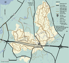
Wrentham State Forest trail map
Trail map of Wrentham State Forest in Massachusetts.
304 miles away
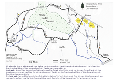
Sprague Farm - Glocester Land Trust Map
304 miles away
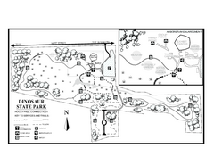
Dinosaur State Park map
Trail map of Dinosaur State Park in Connecticut.
305 miles away
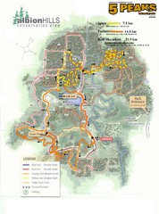
Albion Hills Running Course Map
Map shows the Enduro Course, Sport Course and Half Marathon Course for the 5 Peaks trail running...
305 miles away
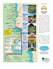
Niagara Garden Trail Map
Tourist map of attractions along the Garden Trail along the Canadian side of the St. Lawrence River...
305 miles away
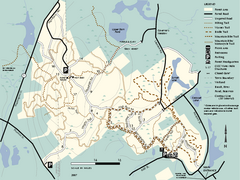
F. Gilbert Hills State Forest trail map
F. Gilbert Hills State Forest trail map in Massachusetts.
305 miles away
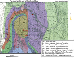
Presque Isle Geologic Map
Presque Isle Geology Field Trip Guide
305 miles away
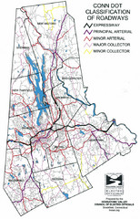
Connecticut Roadway Classification Map
306 miles away
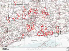
Connecticut Road Cycling Routes Map
A map of road cycling routes throughout Connecticut. Follow the link below for detailed route maps...
306 miles away
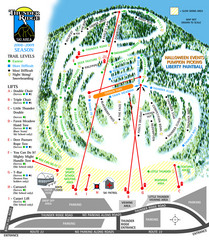
Thunder Ridge Ski Trail Map
Trail map from Thunder Ridge.
306 miles away
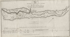
Wyoming and Lackawanna Valleys Map
Railbed from the coal mine at Carbondale to the canal on the Lackawaxen River. Historical map.
306 miles away
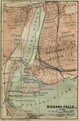
Antique map of Niagara Falls from 1894
"Niagara Falls" from Baedeker, Karl. The Dominion of Canada with Newfoundland and an...
306 miles away
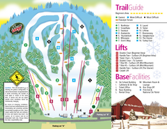
Mt. Southington Ski Area Ski Trail Map
Trail map from Mt. Southington Ski Area, which provides downhill, night, and terrain park skiing...
306 miles away
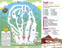
Mount Southington Ski Trail Map
Official ski trail map of Mount Southington ski area from the 2007-2008 season.
306 miles away
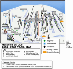
Ski Mansfield Ski Trail Map
Trail map from Ski Mansfield, which provides downhill skiing. This ski area has its own website.
306 miles away

