Bath-Hornell Bus Route Map
291 miles away
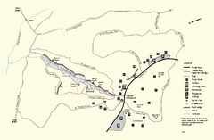
Purgatory Chasm State Reservation trail map
Trail map of Purgatory Chasm State Reservation in Massachusetts.
291 miles away
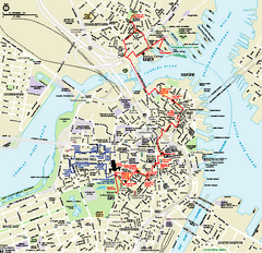
Boston National Historical Park Official Park Map
Official NPS map of Boston National Historical Park in Boston, Massachusetts. From park brochure...
291 miles away

Mine Brook Wildlife Management Area Map
292 miles away
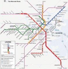
Boston Subway T Map
Massachusetts Bay Transportation Authority (MBTA) map of the Boston T subway system. Includes...
292 miles away
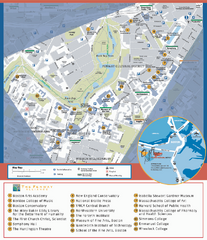
Fenway Cultural District Map
Map of the Fenway Cultural District. Shows schools, museums, libraries, and other cultural points...
292 miles away
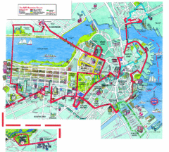
Boston Beantown Trolley Route Map
Route Map for the Boston Beantown trolley. Shows the trolley route, all stops, and a colorful...
292 miles away
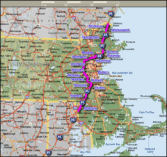
Interstate 95 Cities in Massachusetts Map
292 miles away
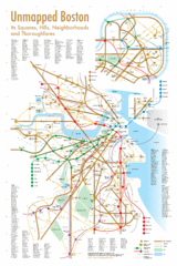
Boston Neighborhood Map
292 miles away
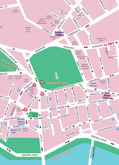
Boston Neighborhood Map
292 miles away
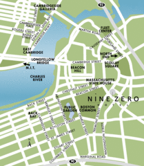
Central Boston Tourist Map
292 miles away
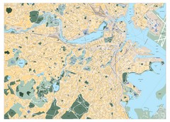
Boston, Massachusetts City Map
292 miles away
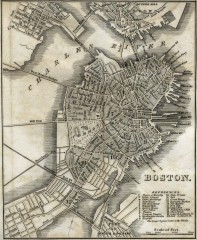
Antique map of Boston from 1842
Antique map of Boston from Tanner, H.S. The American Traveller; or Guide Through the United States...
292 miles away
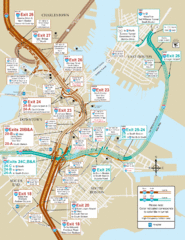
I-93 & I-90 Boston Map
Detail of exits and on-ramps for downtown Boston.
292 miles away
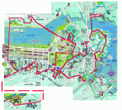
Boston 'Beantown Trolley' map
Tourist map of Boston, Mass. showing route of the Beantown Trolley, various points of interest and...
292 miles away
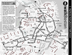
Walking Map of Boston, Massachusetts
Tourist map of Boston, Massachusetts, showing walking routes and times, as well as museums, squares...
292 miles away
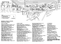
Boston University Charles River Campus Map
Campus map of Boston University. Charles River Campus. All areas shown.
292 miles away
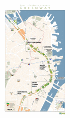
Rose Fitzgerald Kennedy Greenway Map
Boston's extensive heritage of parklands and common ground includes the Emerald Necklace...
292 miles away
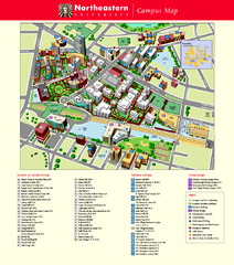
Northeastern University Map
Northeastern University Campus Map. All areas shown.
292 miles away
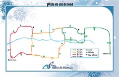
Mont Saint-Mathieu Ski Trail Map
Trail map from Mont Saint-Mathieu, which provides downhill and nordic skiing. This ski area has its...
293 miles away
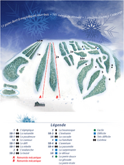
Mont Saint-Mathieu Ski Trail Map
Trail map from Mont Saint-Mathieu, which provides downhill and nordic skiing. This ski area has its...
293 miles away
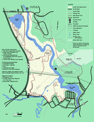
Cutler Park Reservation trail map
Trail map of Cutler Park Reservation in Massachusetts
293 miles away
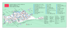
Boston University Medical Campus and Boston...
Boston University Medical Campus and Boston Medical Center area map. All buildings shown.
293 miles away
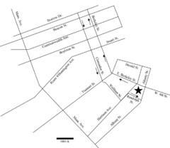
Rotch Field Location Map
Directions to Rotch Playing Field in Boston Common.
293 miles away

Topsmead State Forest map
Trail map for Topsmead State Forest in Connecticut.
293 miles away
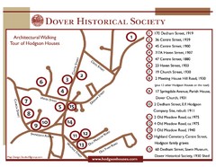
Dover Architectural Walking Map
Architectural walking tour of Hodgson Houses
293 miles away
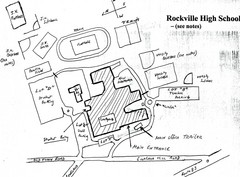
Rockville High School Map
Hand-drawn map of Rockville High School includes all buildings, Parking Lots, and sports fields.
293 miles away
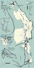
Heritage State Park Map
Clear state park map marking trails and facilities.
293 miles away
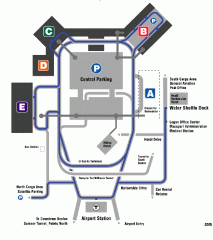
Boston/General Edward Lawrence Logan...
Terminal map of Boston/General Edward Lawrence Logan International Airport. Shows all areas.
293 miles away

Jamaica Plain Bus Route Map
293 miles away
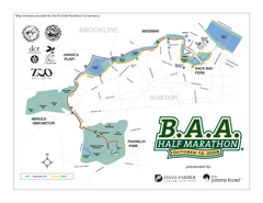
Boston Athletic Association Half Marathon Map
Guide to the Boston Half Marathon, organized by the Boston Athletic Association
293 miles away
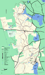
Douglas State Forest trail map
Trail map of the Douglas State Forest in Massachusetts
293 miles away
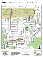
Moore Park Tourist Map
293 miles away
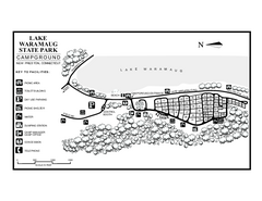
Lake Waramaug State Park campground map
Campground map of Lake Waramaug State Park.
294 miles away
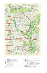
Toronto Brickworks Trail Map
Trail map of area around the Brickworks in Toronto, Canada
294 miles away
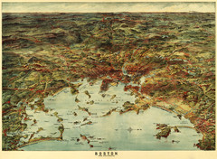
Walker's Map of Boston Harbor and Environs...
Walker's map of Boston Harbor and immediate environs from 1905.
294 miles away
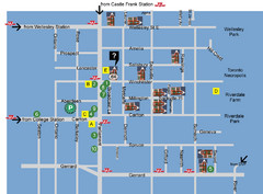
Cabbagetown Tour of Houses Map
294 miles away

