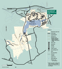
Hopkinton State Park trail map
Trail map of Hopkinton State Park in Massachusetts
287 miles away
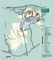
Hopkinton State Park trail map
Trail map of Hopkinton State Park in Massachusetts
287 miles away
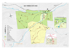
Salt Springs State Park map
Detailed recreation map of Salt Spring State Park in Pennsylvania.
287 miles away
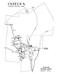
Onteora District Map
Boy Scouts Map of Onteora
287 miles away

South Mohawk Mountain State Forest (Winter Trails...
Winter trial map for the Southern Section of Mohawk Mountain State Forest in Connecticut.
287 miles away
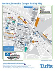
Medford Campus Map
Clear map indicating buildings and parking areas.
287 miles away
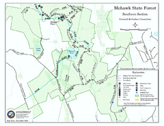
South Mohawk Mountain State Forest (Summer Trails...
Summer trails for South Mohawk State Forest in Connecticut.
287 miles away
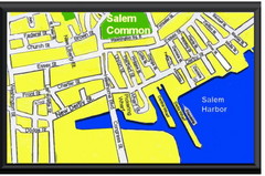
Salem, Massachusetts Guide Map
287 miles away
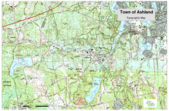
Ashland, MA - Topo Map
Map is provided by the town of Ashland, MA. See town's website for additional maps and...
288 miles away
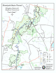
Trail map of Shenipsit State Forest
Trail map of Shenipsit State Forest in Connecticut.
288 miles away
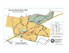
Stratton Brook State Park map
Trail map of Stratton Brook State Park in Connecticut.
288 miles away
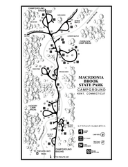
Macedonia Brook State Park campground map
Campground map for Macedonia Brook State Park in Connecticut.
288 miles away
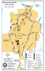
Macedonia Brook State Park trail map
Trail map of Macedonia Brook State Park in Connecticut.
288 miles away
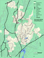
Upton State Forest trail map
Trail map for Upton State Forest in Massachusetts.
288 miles away
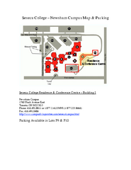
Seneca College - Newnham Campus Map
Seneca College - Newnham Campus Map. Located in Toronto, Canada. Shows all areas.
288 miles away
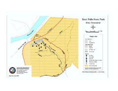
Kent Falls State Park trail map
Trail map of Kent Falls State Park in Connecticut.
288 miles away
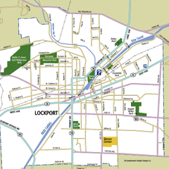
Lockport, New York Map
Map of downtown Lockport, New York, with parks, hospitals, and other points of interest shown.
289 miles away
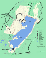
Ashland State Park Map
Clear map and legend marking trails, parking, facilities and more.
289 miles away
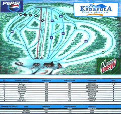
Mont Kanasuta Ski Trail Map
Trail map from Mont Kanasuta, which provides downhill skiing. This ski area has its own website.
289 miles away
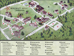
Walnut Hill School Map
Campus Map
289 miles away
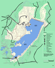
Ashland State Park Map
Map of Ashland State Park in Massachusetts.
289 miles away
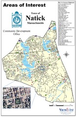
Natick Areas Of Interest Map
Shows points of interest in town of Natick, Massachusetts. Inset of downtown Natick.
289 miles away
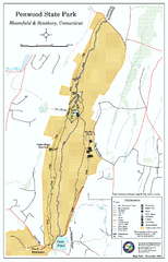
Penwood State Park map
Trail map of Penwood State Park in Connecticut.
289 miles away
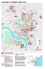
Harvard University campus map
Harvard University campus map
289 miles away
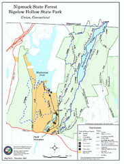
Bigelow Hollow State Park trail map
Trail map of Bigelow Hollow State Park in Connecticut.
289 miles away
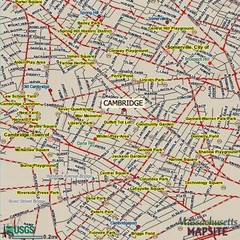
Cambridge, Massachusetts Map
289 miles away
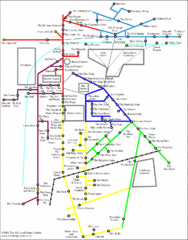
Cambridge Pub Map
289 miles away
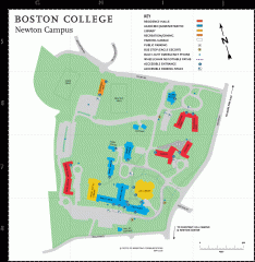
Boston College Newton Campus Map
campus map for Boston College Newton Campus
290 miles away
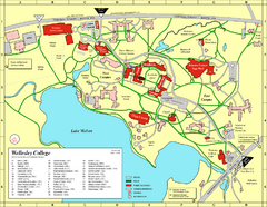
Wellesley College campus map
2008 Wellesley College campus map
290 miles away
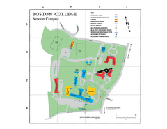
Boston College - Newton Campus Map
Boston College - Newton Campus Map. Shows all buildings.
290 miles away
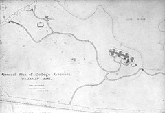
1870s Map of Wellesley College
General plan of college grounds, 1870s.
290 miles away
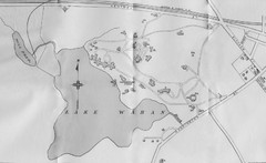
1899 Map of Wellesley College
After College Hall, the original site of Wellesley's faculty, students, classrooms, and...
290 miles away

John F. Kennedy School of Government Campus Map
Campus map of the Harvard University John F. Kennedy School of Government in Cambridge...
290 miles away
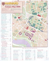
Harvard University Map
Campus map
290 miles away
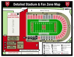
Harvard Stadium Map
Beautiful map of the horse-shoe shaped stadium of Harvard University.
290 miles away
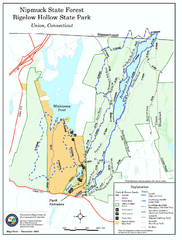
Nipmuck State Forest trail map
Trail map of Nipmuck State Forest and Bigelow Hollow State Park in Connecticut.
290 miles away
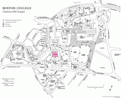
Boston College Chestnut Hill Campus Map
campus map for Boston College's Chestnut Hill Camps
290 miles away
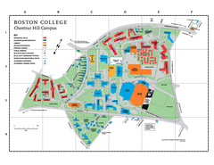
Boston College Main Chestnut Hill Campus Map
The main campus of Boston College, Chestnut Hill. Grid Map with Building Table
290 miles away
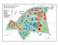
Boston College - Chestnut Hill Campus Map
Boston College - Chestnut Hill Campus Map. Shows all buildings.
290 miles away
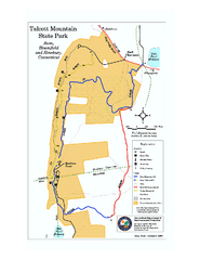
Talcott Mountain State Park map
Trail map of Talcott Mountain State Park in Connecticut.
291 miles away

