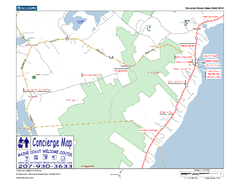
Lincolnville, Maine, USA Map
Maine Coast Welcome Center's local Map of Lincolnville, Me with recommended business locations.
280 miles away
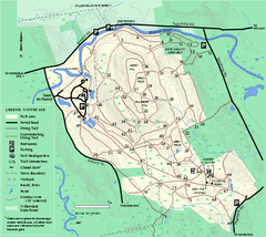
Bradley Palmer State Park winter map
Winter trail map of Bradley Palmer State Park.
280 miles away
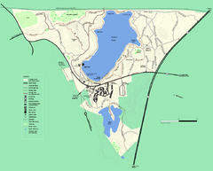
Walden Pond State Reservation trail map
Trail map of Walden Pond State Reservation
280 miles away
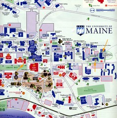
University of Maine Map
Campus map
281 miles away
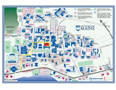
University of Maine Campus Map
281 miles away
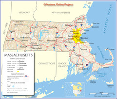
Massachusetts Road Map
281 miles away
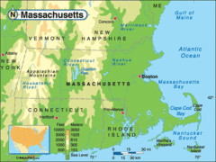
Massachusetts Rivers, Lakes, Mountains and...
281 miles away
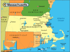
Massachusetts Cities Map
281 miles away
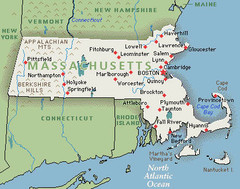
Massachusetts Cities and Mountains Map
281 miles away
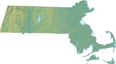
Maryland Relief Map
281 miles away
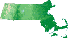
Massachusetts Elevations Map
281 miles away
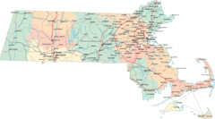
Massachusetts Road Map
281 miles away
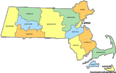
Massachusetts Counties Map
281 miles away
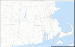
Massachusetts Zip Code Map
Check out this Zip code map and every other state and county zip code map zipcodeguy.com.
281 miles away
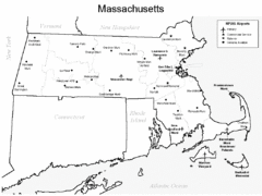
Massachusetts Airports Map
281 miles away
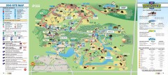
Toronto Zoo Map
Official map of the Toronto Zoo
281 miles away
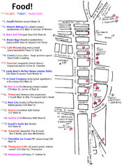
Rockland, Maine Restaurant Map
281 miles away
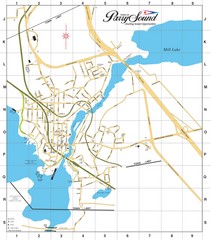
Parry Sound Town Map
282 miles away
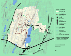
Wells State Park winter trail map
Winter use trail map of Wells State Park in Massachusetts.
282 miles away
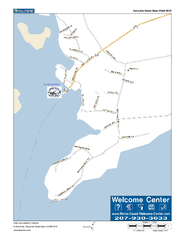
Port Clyde, Maine, USA Map
Maine Coast Welcome Center's local Map of Port Clyde, Me with recommended business locations.
282 miles away
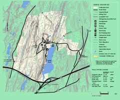
Wells State Park trail map
Trail map of Wells State Park in Massachusetts.
282 miles away
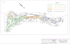
Town of Lexington Historic Districts Map
Identifies the 4 historical districts of Lexington, Massachusetts.
282 miles away
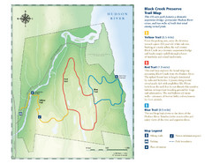
Black Creek Trail Preserve Map
Trail map of Black Creek Preserve on the Hudson River in New York. Shows Yellow Trail, Red Trail...
282 miles away
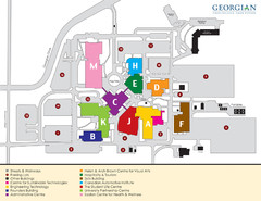
Georgian College Map
283 miles away
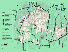
Brimfield State Forest trail map
Trail map of Brimfield State Forest in Massachusetts
283 miles away
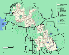
Callahan State Park trail map
Trail map of Callahan State Park in Massachusetts
283 miles away
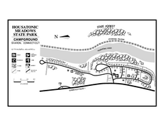
Housatonic Meadows State Park campground map
Campground map for Housatonic Meadows State Park in Connecticut.
284 miles away
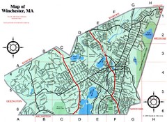
Winchester Town Map
284 miles away
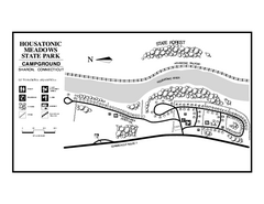
Housatonic State Forest campground map
Campground map of Housatonic State Forest in Connecticut.
284 miles away
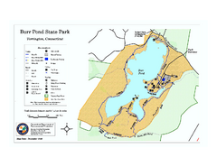
Burr Pond State Park map
Map of Burr Pond State Park in Connecticut.
285 miles away
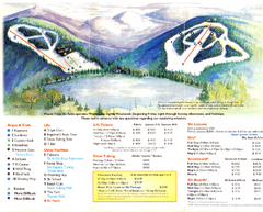
Mount Tone Ski Trail Map
Trail map from Mount Tone.
285 miles away
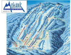
Mohawk Mountain Ski Trail Map
Ski trail map of Mohawk Mountain ski area
285 miles away
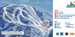
Ski Sundown Ski Trail Map
Trail map from Ski Sundown, which provides downhill and night skiing. It has 5 lifts servicing 15...
285 miles away

North Mohawk Mountain State Forest (Summer Trails...
Summer trail map of the North section of Mohawk Mountain State Forest in Connecticut.
286 miles away

North Mohawk Mountain State Forest (Winter Trails...
Winter trail map for North Mohawk Mountain State Forest in Connecticut.
286 miles away
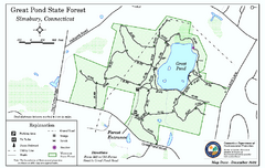
Great Pond State Park trail map
Trail map of Great Pond State Forest in Connecticut.
286 miles away
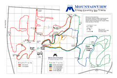
Mountain View Nordic Ski Trail Map
Trail map from Mountain View, which provides downhill and nordic skiing. This ski area has its own...
286 miles away
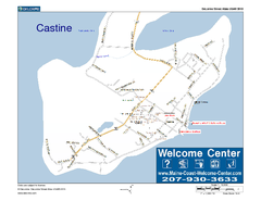
Castine, Maine, USA Map
Maine Coast Welcome Center's local Map of Castine, Me with recommended business locations.
286 miles away
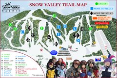
Ski Snow Valley Barrie Ski Trail Map
Trail map from Ski Snow Valley Barrie, which provides downhill skiing. This ski area has its own...
287 miles away
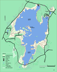
Whitehall State Park trail map
Trail map of Whitehall State Park in Massachusetts.
287 miles away

