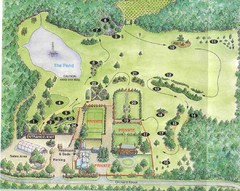
Newbury Perrenial Gardens Guide Map
273 miles away
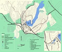
Moore State Park trail map
Trail map of Moore State Park in Massachusetts.
273 miles away
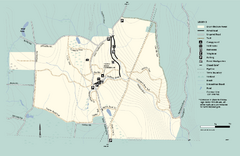
Granville State Forest trail map
Trail map of Granville State Forest in Massachusetts
273 miles away
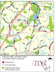
Delaney Conservation Land Map
274 miles away

Digital Elevation Model (DEM) of Conesus Lake Map
Digital Elevation Model (DEM) of Conesus Lake Map created in ARC Gis
274 miles away
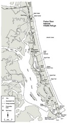
Parker River Map
Map of Parker River National Wildlife Refuge for birdlife
275 miles away
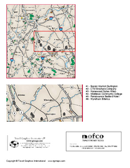
Greater Merrimack Valley, Massachusetts Map
Tourist map of greater Merrimack Valley, Massachusetts. Lodging, forests, and other points of...
275 miles away
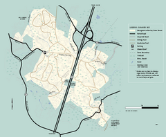
Georgetown-Rowley State Forest summer use map
Summer use map for Georgetown-Rowley State Forest.
275 miles away
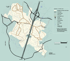
Georgetown-Rowley State Forest winter use map
Winter use map for the Georgetown-Rowley State Forest in Massachusetts.
275 miles away
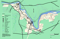
Robinson State Park trail map
Trail map of Robinson State Park in Massachusetts.
275 miles away
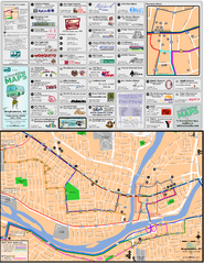
Binghampton Bus Route Map
275 miles away

Hunt Hollow Ski Trail Map
Trail map from Hunt Hollow.
276 miles away

Palmer Motorsports Park Map
Track Map for Proposed Palmer Motorsports Park
276 miles away
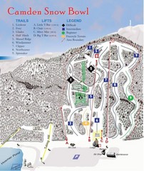
Camden Snow Bowl Ski Trail Map
Trail map from Camden Snow Bowl.
276 miles away
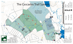
Cascades Park Map
276 miles away
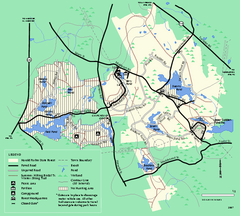
Harold Parker State Forest trail map
Trail map of Harold Parker State Forest in Massachusetts
276 miles away
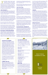
Mt. Pisgah Map - Northboro, Berlin, Boylston Mass
277 miles away
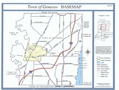
Geneseo Town Map
277 miles away
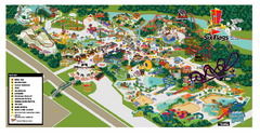
Six Flags New England Theme Park Map
Official Park Map of Six Flags New England in Massachusetts.
277 miles away
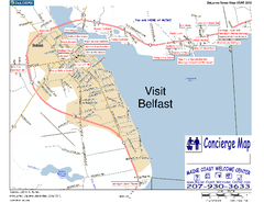
Belfast, Maine, USA Map
Maine Coast Welcome Center's local Map of Belfast, Me with recommended business locations. You...
277 miles away
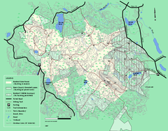
Boxford State Park trail map
Trail map of Boxford State Forest in Massachusetts
277 miles away
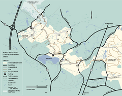
Willowdale State Forest map of Hood Pond
Trail map of the Hood Pond area of the Willowdale State Park in Massachusetts.
277 miles away
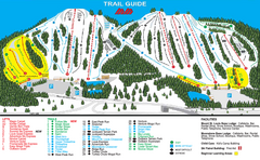
Mount St. Louis/ Moonstone Ski Trail Map
Trail map from Mount St. Louis/ Moonstone, which provides downhill skiing. This ski area has its...
277 miles away
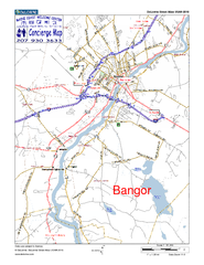
Bangor, Me, USA Map
Maine Coast Welcome Center's local Map of Bangor, Me with recommended business locations.
277 miles away
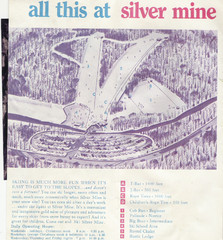
Silver Mine Credit to chris lundquist Ski Trail...
Trail map from Silver Mine, which provides downhill skiing.
278 miles away
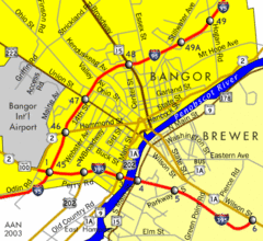
Bangor City Map
Airport, roads and interstates are on this map.
278 miles away
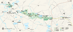
Minute Man National Historical Park Official Map
Official NPS map of Minute Man National Historical Park in Massachusetts. Map shows all areas. The...
278 miles away
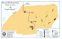
Dennis Hill State Park map
Trail map of Dennis Hill State Park in Connecticut.
278 miles away

Georgina Historic Lakeshore Communities Map
278 miles away
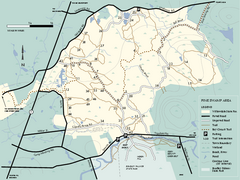
Willowdale State Forest map of Pine Swamp
Trail map of the Pine Swamp area of Willowdale State Park in Massachusetts.
279 miles away
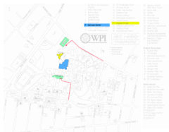
Worcester Polytechnic Institute Campus Map
Map of Worcester Polytechnic Institute. Includes all buildings, parking, streets, and location of...
279 miles away
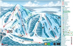
Heights of Horseshoe Ski Trail Map
Trail map from Heights of Horseshoe, which provides downhill skiing. This ski area has its own...
279 miles away
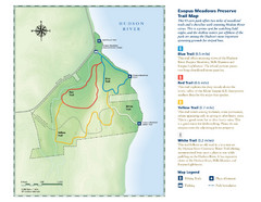
Esopus Meadows Preserve Trail Map
Trail map of Esopus Meadows Preserve park on the Hudson River.
279 miles away
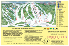
Horseshoe Resort Ski Trail Map
Trail map from Horseshoe Resort, which provides downhill and nordic skiing. This ski area has its...
279 miles away
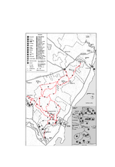
Camden Hills State Park map
Trail map for Camden Hills State Park in Vermont
279 miles away
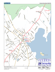
Camden, Maine, USA Map
Maine Coast Welcome Center's local Map of Camden, Me with recommended business locations.
280 miles away
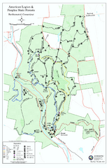
American Legion State Forest trail map
Trail map of American Legion and Peoples State Forests in Connecticut.
280 miles away
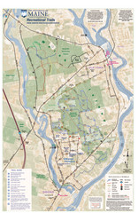
University of Maine Recreation Trails Map
Trails marked connecting two busy towns of Old Town and Orono.
280 miles away
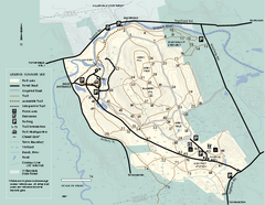
Bradley Palmer State Park summer map
Summer use map of Bradley Palmer State Park in Massachusetts
280 miles away
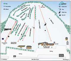
Ski Ward Ski Trail Map
Trail map from Ski Ward.
280 miles away

