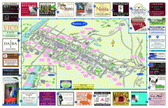
Hudson Tourist Map
Tourist map of Hudson, New York showing all tourist points of interest. Ads around border.
253 miles away
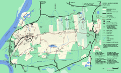
DAR State Forest summer map
Summer use map of the Daughters of the American Revolution state forest.
253 miles away
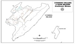
Cushing Island Map
Also shows Ram Island
253 miles away
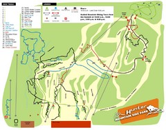
Hunter Mountain Bike Park Map
Map of bike trails in park
254 miles away
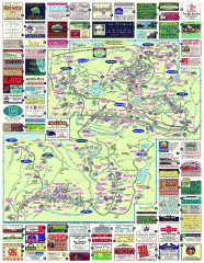
South County Berkshires map
Tourist map of Great Barrington, Housatonic, Sheffield, S. Egremont, N. Egremont Lenox, Stockbridge...
254 miles away
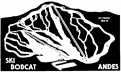
Bobcat Ski Center Ski Trail Map
Trail map from Bobcat Ski Center.
255 miles away
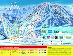
Hunter Mountain Trail Map
256 miles away
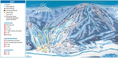
Hunter Mountain ski trail map
Official ski trail map of Hunter Mountain ski area from the 2006-2007 season.
256 miles away
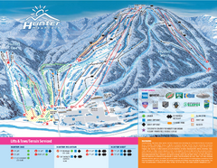
Hunter Mountain Ski Bowl Ski Trail Map
Trail map from Hunter Mountain Ski Bowl.
256 miles away
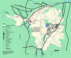
Willard Brook State Forest trail map
Trail map of Willard Brook State Forest in Massachusetts.
256 miles away
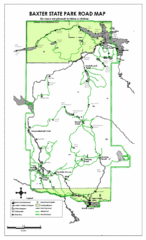
Baxter State Park Road Map
256 miles away
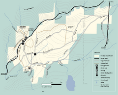
Windsor State Forest trail map
Trail map of Windsor State Forest in Massachusetts.
257 miles away
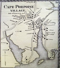
Cape Porpoise Village Map
257 miles away
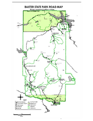
Baxter State Park overview map
Overview map of Baxter State Park. There are 46 mountain peaks and ridges, 18 of which exceed an...
257 miles away
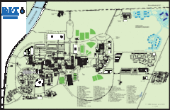
Rochester Institute of Technology Campus Map
Map of RIT campus.
257 miles away
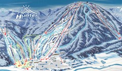
Hunter Mountain Trail Map
Ski trail map
257 miles away
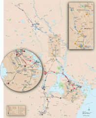
New Hampshire Transit Map
Guide to COAST and Wildcat Transit lines in New Hampshire
258 miles away
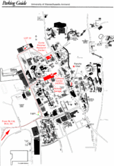
University of Massachusetts Amherst Parking Map
Map of the University of Massachusetts. Includes all buildings, streets, and parking information.
258 miles away
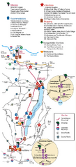
Canadaigua Wine Trail Map
Map of the Canadaigua Wine Map in Canadaigua, New York. Shows all wineries and vineyards in the...
258 miles away
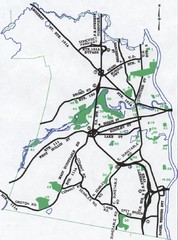
Nashua Parks Map
Map of Nashua, New Hampshire parks
258 miles away
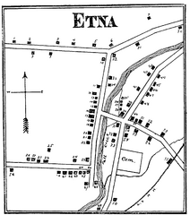
Etna 1897 City Map
Key to the Map of Etna (1897) 1. Mrs. C. Turner. 38. Blacksmith Shop. 2. J. T. Primrose. 39. Houtz...
258 miles away
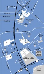
Downtown Amherst, Massachusetts Map
Tourist map of downtown Amherst, Massachusetts, showing attractions, government buildings, atms...
259 miles away
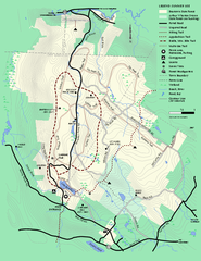
Beartown State Park Summer Map
Summer Map of Beartown State Park in Massachusetts.
259 miles away
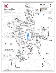
University of Massachusetts - Amherst Map
Campus Map of the University of Massachusetts - Amherst. All buildings shown.
259 miles away
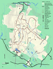
Beartown State Park Winter Map
Winter use map of Beartown State Park in Massachusetts
259 miles away
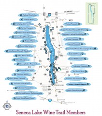
Seneca Lake Wine Trail Map
Winery tour map of Seneca Lake area in New York. Shows all vineyards that are members of the wine...
259 miles away
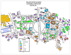
Phillips Exeter Academy Campus Map
Phillips Exeter Academy Campus Map
260 miles away
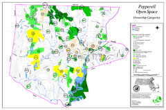
Pepperell Conservation Land and Open Spaces Map
Map showing conservation land and open spaces in Pepperell, MA.
260 miles away
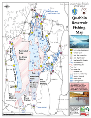
Quabbin Reservoir Fishing Map
Fishing access map of Quabbin Reservoir. Shows all ponds and submerged ponds.
261 miles away
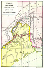
Maine Boundary Controversy 1782-1842 Map
Here you can all the British and American claims and proposals to settle the Maine boundary with...
261 miles away
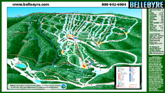
Belleayre Mountain Ski Trail Map
Trail map from Belleayre Mountain.
261 miles away
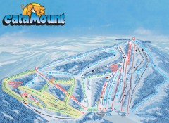
Catamount Ski Trail Map
Official ski trail map of Catamount ski area from the 2006-2007 season.
261 miles away
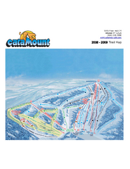
Catamount Ski Area Ski Trail Map
Trail map from Catamount Ski Area.
261 miles away
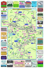
Columbia County - Boston Corners, Copake, Copake...
Tourist map of Columbia County, Mass. Includes towns of Boston Corners, Copake, Copake Falls...
261 miles away
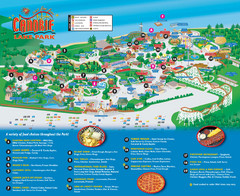
Canobie Lake Park Map
262 miles away
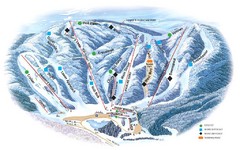
Butternut Ski Area Ski Trail Map
Trail map from Butternut Ski Area.
262 miles away
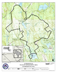
Hubbardston WMA Map
262 miles away
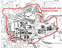
Map of Water contamination at Cornell University...
262 miles away

