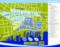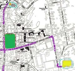
Manchester, New Hampshire City Map
244 miles away
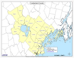
Cumberland County Map
Map showing all city divisions of Cumberland County, Maryland with specific location of the CPCOG.
245 miles away
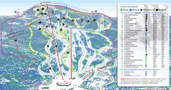
Mont Edouard Ski Trail Map
Trail map from Mont Edouard, which provides downhill skiing. This ski area has its own website.
245 miles away
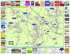
Columbia County - Austerlitz, Canaan, Chatham...
Tourist map of Columbia County including towns of Austerlitz, Canaan, Chatham, East Chatham Ghent...
245 miles away
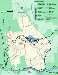
Erving Summer trail map
Summer use map of Erving State Park in Massachusetts.
246 miles away
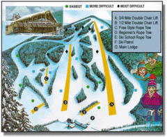
Bousquet Ski Area Ski Trail Map
Trail map from Bousquet Ski Area.
246 miles away
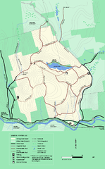
Erving State Park winter use map
Winter use map of the Erving State Park in Massachusetts
246 miles away
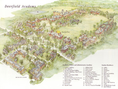
Deerfield Academy Campus Map
Shows buildings and facilities of Deerfield Academy. Scanned.
246 miles away
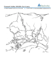
Pleasant Valley Wildlife Sanctuary Trail Map
Trail map of Pleasant Valley Wildlife Sanctuary
247 miles away

Oshawa Ski Club Ski Trail Map
Trail map from Oshawa Ski Club, which provides downhill skiing. This ski area has its own website.
248 miles away
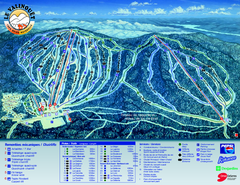
Le Valinouet Ski Trail Map
Trail map from Le Valinouet, which provides downhill and nordic skiing. This ski area has its own...
248 miles away
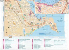
Falmouth Map
Map of Falmouth town and bay. Includes roads, parks, accommodations and attractions.
249 miles away
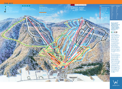
Windham Mountain Ski Trail Map
Trail map from Windham Mountain.
249 miles away
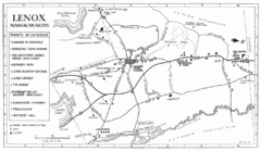
Lenox Town Map
Hand-drawn town map of Lenox, Mass. Bordered by Lenox Mountain and October Mountain. Shows points...
249 miles away
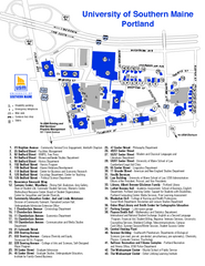
University of Southern Maine - Portland Map
250 miles away
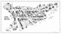
Lenox Village Map
Hand-drawn village map of historic center of Lenox, Massachusetts
250 miles away
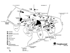
Tanglewood Map
Detailed map of the Tanglewood grounds that includes the location of the Box Office, Friends Office...
250 miles away
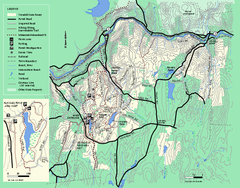
Wendell State Forest trail map
Trail map of Wendell State Forest in Massachusetts.
250 miles away
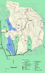
DAR State Forest winter map
Winter use map of the Daughters of the American Revolution State Forest.
250 miles away

St. John Fisher College Map
Campus map
250 miles away
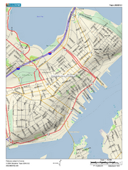
Portland, Maine City Map
250 miles away
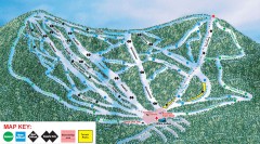
Plattekill Ski Trail Map
Official ski trail map of Plattekill ski area from the 2007-2008 season.
250 miles away
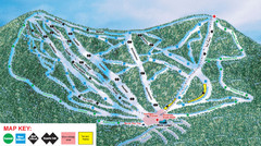
Ski Plattekill Ski Trail Map
Trail map from Ski Plattekill.
250 miles away
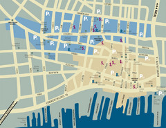
Portland, Maine Tourist Map
250 miles away
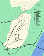
Mt. Sugarloaf State Reservation trail map
Trail map of Mount Sugarloaf State Reservation
251 miles away
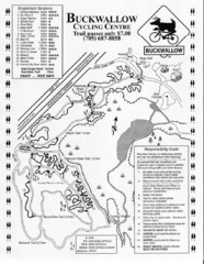
Buckwallow Trail Map
Biking trail map for Buckwallow Cycling Center
251 miles away
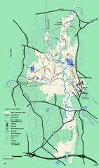
Otter River State Forest winter trail map
Winter usage trail map for Otter River State Park in Massachusetts.
251 miles away
Mt. Watatic to Wachusett Mountain, Massachusetts...
251 miles away
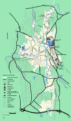
Otter River State Forest summer trail map
Summer trail map of the Otter River State Forest area in Massachusetts.
251 miles away

Downtown Rochester, New York Map
Tourist map of downtown Rochester, New York. Various areas of interest, parking, and streets are...
251 miles away

Rochester, New York City Map
252 miles away
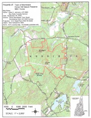
Merrimack Topo Map
A Topographical map Horse Hill Nature Preserve.
252 miles away
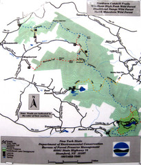
Northern Catskill Trail Map
Trail map shows hiking trails in the northern Catskills of New York. Shows trails in Windham High...
252 miles away
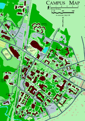
University of New Hampshire Campus Map
University of New Hampshire Campus Map
252 miles away
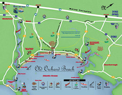
Old Orchard Beach Tourist Map
252 miles away
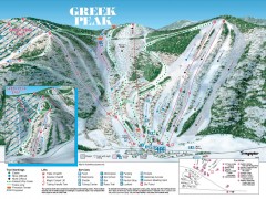
Greek Peak Ski Trail Map
Official ski trail map of Greek Peak ski area from the 2006-2007 season.
253 miles away

Greek Peak Ski Resort Ski Trail Map
Trail map from Greek Peak Ski Resort.
253 miles away
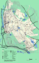
October Mountain State Forest trail map
Trail map of October Mountain State Forest in Massachusetts.
253 miles away
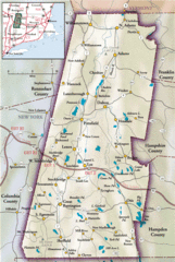
Berkshires Map
Overview map of the Berkshires region of Western Massachusetts
253 miles away

