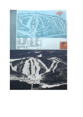
Marcellus Snowmobile Trail Map
Map of snowmobile trails throughout Marcellus area
235 miles away
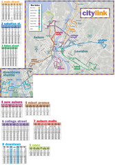
Citylink Route Map
Map of citylink bus routes throughout Auburn and Lewiston, Maine
235 miles away

Brantling Ski Slopes Ski Trail Map
Trail map from Brantling Ski Slopes.
235 miles away
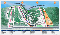
Labrador Mountain Ski Trail Map
Trail map from Labrador Mountain.
235 miles away
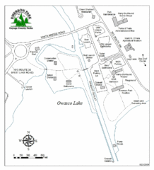
Emerson Park Map
236 miles away

Song Mountain Ski Trail Map
Trail map from Song Mountain.
236 miles away
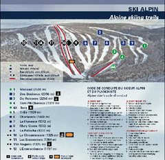
Mont Grand Fonds Ski Trail Map
Trail map from Mont Grand Fonds, which provides downhill and nordic skiing. This ski area has its...
236 miles away
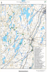
Kennebec Land Trust Map
Map of properties of the Kennebec Land Trust in Maine.
236 miles away
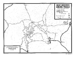
Mount Monadnock State Park Map
Official hiking map of the park. With its thousands of acres of protected highlands, 3,165-ft...
236 miles away
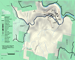
Mohawk Trail State Forest map
Map of the Mohawk Trail State Forest in Charlemont, Massachusetts.
236 miles away
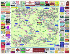
North County Berkshires map
Tourist map of North County - Pittsfield, N. Adams, Adams, Lanesboro, Cheshire, Williamstown...
237 miles away
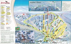
Jiminy Peak Ski Trail Map
Official ski trail map of Jiminy Peak ski area from the 2007-2008 season.
237 miles away

Brighton-Township, Ontario Map
237 miles away
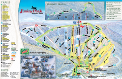
Jiminy Peak Resort Ski Trail Map
Trail map from Jiminy Peak Resort.
237 miles away
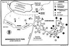
Monadnock State Park map
Campground map of Monadnock State Park in New Hampshire
237 miles away
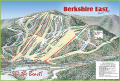
Berkshire East Ski Area Ski Trail Map
Trail map from Berkshire East Ski Area.
237 miles away
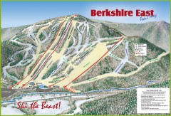
Berkshire East Ski Trail Map
Official ski trail map of Berkshire East ski area from the 2007-2008 season.
237 miles away
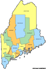
Maine Counties Map
238 miles away
Maine Zip Code Map
Check out this Zip code map and every other state and county zip code map zipcodeguy.com.
238 miles away
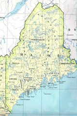
Maine Tourist Map
238 miles away
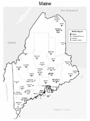
Maine Airports Map
238 miles away
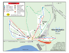
Hidden Valley Highlands Ski Trail Map
Trail map from Hidden Valley Highlands, which provides downhill skiing. This ski area has its own...
238 miles away
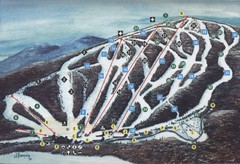
Brodie Ski Trail Map
Trail map from Brodie.
238 miles away
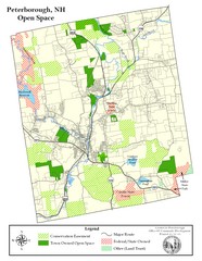
Peterborough Open Space Map
Map of open space lands in Peterborough, New Hampshire
238 miles away
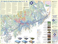
Maine's Ice Age Trail Map
239 miles away
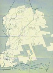
Bear Brook Trails Map
Bear Brook Park Trails and Park map in New Hampshire
239 miles away
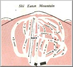
Eaton Mountain Ski Area Ski Trail Map
Trail map from Eaton Mountain Ski Area.
239 miles away
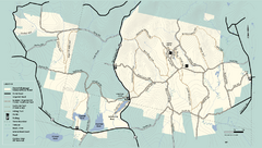
Kenneth Dubuque Memorial State Park trail map
Trail map of the Kenneth Dubuque state park conservation area in Massachusetts.
239 miles away
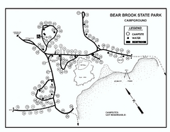
Bear Brook State Park Campground map
Campground map of Bear Brook State Park in New Hampshire
240 miles away
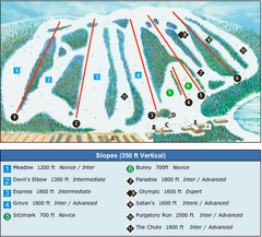
Devil’s Elbow Ski Trail Map
Trail map from Devil’s Elbow, which provides downhill skiing. This ski area has its own website.
240 miles away
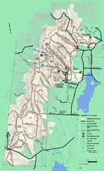
Pittsfield State Forest winter trail map
Winter use trail map of Pittsfield State Forest in Massachusetts.
241 miles away
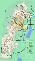
Pittsfield State Forest summer trail map
Summer use trail map of Pittsfield State Forest in Massachusetts.
241 miles away
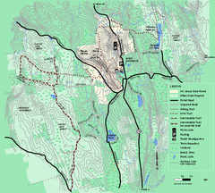
Mt. Grace State Forest trail map
Trail map of Mt. Grace State Forest near Warwick, Massachusetts.
242 miles away
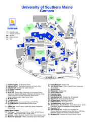
University of Southern Maine - Gorham Map
242 miles away
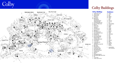
Colby College Campus Map
Official map of the Colby College campus. Colby's campus, on 714 acres overlooking the city...
243 miles away
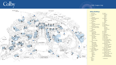
Colby College Campus Map
Official map of the Colby College campus. Colby's campus, on 714 acres overlooking the city of...
243 miles away
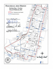
Pittsfield,, Massachusetts City Map
244 miles away
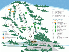
McIntyre Ski Trail Map
Official ski trail map of McIntyre ski area.
244 miles away
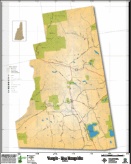
Temple NH Topo Map
Topographical map of Temple, NH area. Shows all roads and points of interest.
244 miles away

