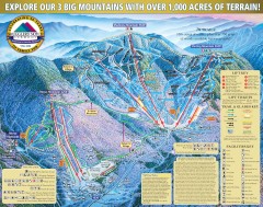
Smugglers' Notch Ski Trail map 2006-07
Official ski trail map of Smugglers' Notch (Smuggs) ski area from the 2006-2007 season.
346 miles away
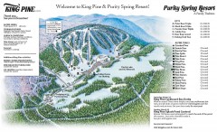
King Pine Ski trail Map
Official ski trail map of King Pine ski area from the 2006-2007 season.
347 miles away
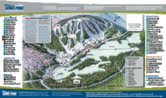
King Pine Ski Area Ski Trail Map
Trail map from King Pine Ski Area.
347 miles away
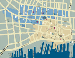
Portland, Maine Tourist Map
347 miles away
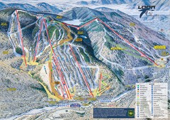
Loon Mountain Ski Trail Map
Trail map from Loon Mountain.
347 miles away
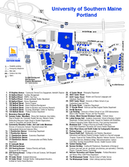
University of Southern Maine - Portland Map
347 miles away
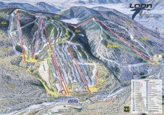
Loon Mountain Ski Trail Map
Official ski trail map of Loon Mountain ski area from the 2007-2008 season.
347 miles away
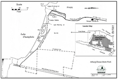
Alburg Dunes State Park map
Map of Alburg Dunes State Park in Vermont.
347 miles away
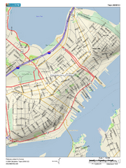
Portland, Maine City Map
347 miles away
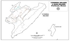
Cushing Island Map
Also shows Ram Island
347 miles away
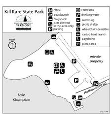
Kill Kare State Park map
Campground map of Kill Kare State park in Vermont
348 miles away
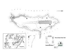
Woods Island State Park Campground Map
Campground map of Woods Island State Park in Vermont
348 miles away
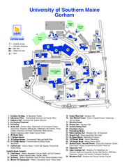
University of Southern Maine - Gorham Map
348 miles away
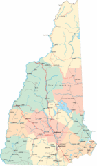
New Hampshire Road Map
Road map of New Hampshire
348 miles away
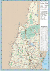
New Hampshire Boating and Fishing Public Access...
Shows public access boating and fishing sites and depth maps for state of New Hampshire
348 miles away
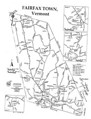
Fairfax Town Map
349 miles away
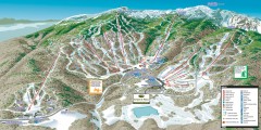
Stowe ski trail map 2006-07
Complete ski trail map of Stowe Mountain resort for 2006-2007 season.
349 miles away
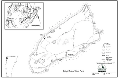
Knight Island State Park Campground Map
Map of Knight Island State Park in Vermont
349 miles away
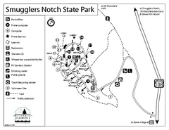
Smugglers Notch State Park Campground Map
Campground map of Smugglers Notch State Park in Vermont
349 miles away
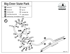
Big Deer State Park map
Campground map for Big Dear State Park in Vermont
349 miles away
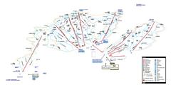
Stowe Mountain Resort Ski Trail Map
Trail map from Stowe Mountain Resort, which provides downhill, nordic, and terrain park skiing. It...
349 miles away
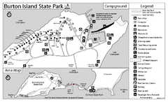
Burton Island State Park map
Campground map of Burton Island State Park in Vermont
349 miles away
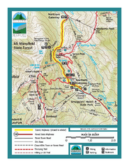
Smugglers Notch Trail Map
Trail map for Smugglers Notch State Park in Vermont
349 miles away
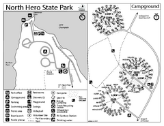
North Hero State Park Campground Map
Campground map of North Hero in Vermont
349 miles away
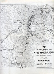
Mount Mansfield Map
Long Trail map for Green Mountains in Vermont
349 miles away
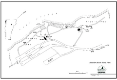
Boulder Beach State Park map
Map of Boulder Beach State Park on Lake Groton in Vermont.
349 miles away
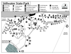
Stillwater State Park Campground Map
Campground map for Stillwater State Park in Vermont
350 miles away
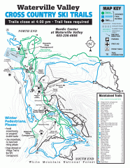
Waterville Valley Nordic Trail Map
Official nordic trail map. Over 70 kilometers (40 + miles) of groomed trails.
350 miles away
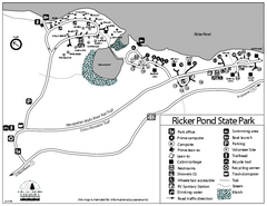
Ricker Pond State Park Campground Map
Campground map of Ricker Pond State Park in Vermont
350 miles away
Seyon Lodge State Park Map
Campground map of Seyon Lodge State Park in Vermont
350 miles away
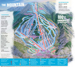
Waterville Valley Ski Trail Map
Trail map from Waterville Valley.
350 miles away
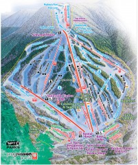
Waterville Valley Ski Trail Map
Official ski trail map of Waterville Valley ski area
350 miles away
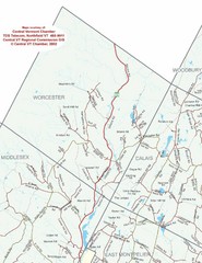
Worcester Town Map
Town map of Worcester, Vermont and surrounding areas
351 miles away
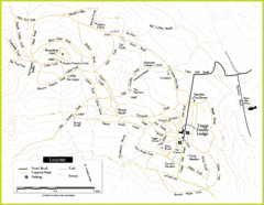
Trapp Ski Center Trail Map
Map of trails in the ski center at the Trapp Family Lodge
351 miles away
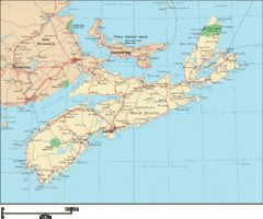
Nova Scotia Map
Detailed Nova Scotia Map
352 miles away
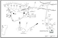
Underhill State Park Campground Map
Campground map for Underhill State Park in Vermont.
353 miles away
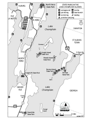
State Parks of the Champlain Islands Map
Map of the various State Parks of the Inland Sea / Lake Champlain area in Vermont
354 miles away
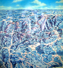
White Mountains New Hampshire Map
Old bird's eye view map of the White Mountain region of New Hampshire by Frank Thomas. Date of...
354 miles away
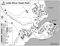
Little River State Park Campground Map
Campground map of Little River State Park in Vermont
356 miles away

