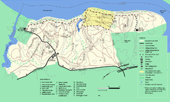
Maudslay State Park trail map
Trail Map of Maudslay State Park in Massachusetts.
412 miles away

Camp Morgan Trail Map
412 miles away
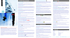
Okemo Mountain Resort Ski Trail Map
Trail map from Okemo Mountain Resort.
412 miles away
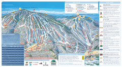
Okemo Ski Trail Map
Ski trail map of Okemo ski area. A James Niehues creation.
412 miles away
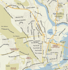
Hull, Quebec Tourist Map
412 miles away
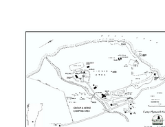
Camp Plymouth State Park map
Map of Camp Plymouth Park in Vermont.
412 miles away
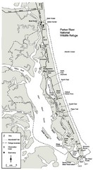
Parker River Map
Map of Parker River National Wildlife Refuge for birdlife
412 miles away
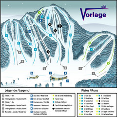
Ski Vorlage Ski Trail Map
Trail map from Ski Vorlage, which provides downhill skiing. This ski area has its own website.
413 miles away
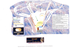
Arrowhead Arrowhead Ski Trail Map
Trail map from Arrowhead.
414 miles away
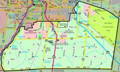
Gloucester Map
Street-map of Gloucester district
414 miles away
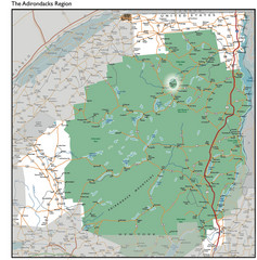
Adirondacks Lakes Map
Guide to lakes and waterways in the Adirondacks Park Preserve
415 miles away
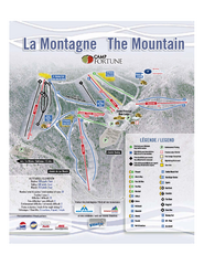
Camp Fortune Ski Trail Map
Trail map from Camp Fortune, which provides downhill skiing. This ski area has its own website.
415 miles away
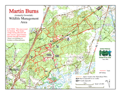
Downfall/Martin Burns WMA Map
415 miles away
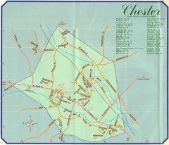
Chester Town Map
415 miles away

Olympic Scenic Byway Map
Overview map showing the length of the Olympic Scenic Byway, which runs from Lake Ontario (Sackett...
415 miles away
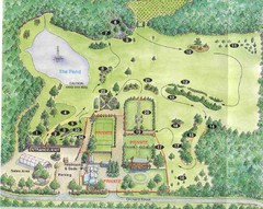
Newbury Perrenial Gardens Guide Map
416 miles away
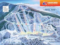
Crotched Mountain Ski Trail Map
Official ski trail map of Crotched Mountain ski area from the 2007-2008 season.
417 miles away
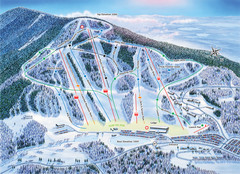
Crotched Mountain Ski Trail Map
Trail map from Crotched Mountain.
417 miles away
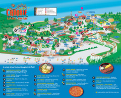
Canobie Lake Park Map
419 miles away
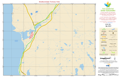
Newfoundland Trailway Park NL-002 Map
419 miles away
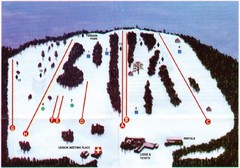
Ski Bradford Ski Trail Map
Trail map from Ski Bradford.
419 miles away
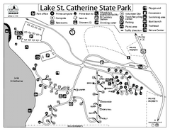
Lake St. Catherine State Park Campground Map
Campground map of St. Catherine State Park in Vermont
421 miles away
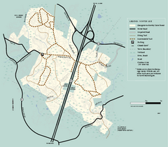
Georgetown-Rowley State Forest winter use map
Winter use map for the Georgetown-Rowley State Forest in Massachusetts.
421 miles away
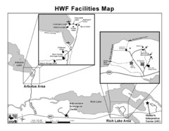
Adirondack Map
Map of Adirondack Park Reserve. Shows Rich Lake Area, Arbutus Area, and the location of the...
421 miles away
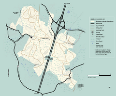
Georgetown-Rowley State Forest summer use map
Summer use map for Georgetown-Rowley State Forest.
421 miles away

Newfoundland Trailway Park/Wreckhouse Trail NL...
421 miles away
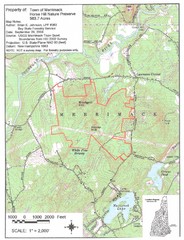
Merrimack Topo Map
A Topographical map Horse Hill Nature Preserve.
422 miles away
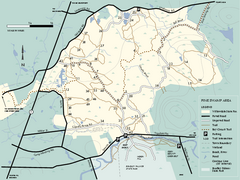
Willowdale State Forest map of Pine Swamp
Trail map of the Pine Swamp area of Willowdale State Park in Massachusetts.
422 miles away
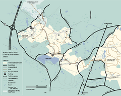
Willowdale State Forest map of Hood Pond
Trail map of the Hood Pond area of the Willowdale State Park in Massachusetts.
422 miles away
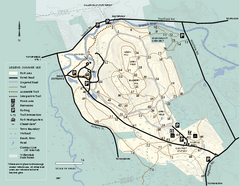
Bradley Palmer State Park summer map
Summer use map of Bradley Palmer State Park in Massachusetts
423 miles away
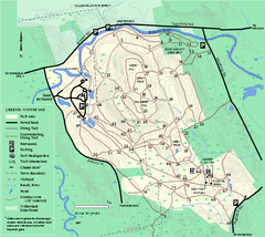
Bradley Palmer State Park winter map
Winter trail map of Bradley Palmer State Park.
423 miles away
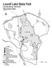
Lowell Lake State Park map
Campground map for Lowell Lake State Park in Vermont
424 miles away
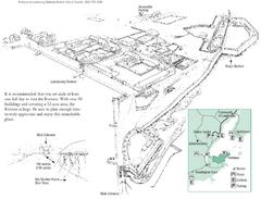
Fortress of Louisbourg Map
Map of the Fortress of Louisbourg National Historic Site, Nova Scotia
425 miles away
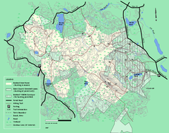
Boxford State Park trail map
Trail map of Boxford State Forest in Massachusetts
425 miles away
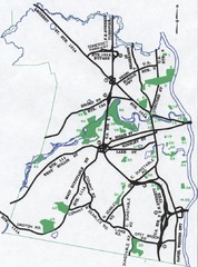
Nashua Parks Map
Map of Nashua, New Hampshire parks
425 miles away
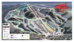
Magic Mountain Ski Trail Map
Trail map from Magic Mountain.
426 miles away
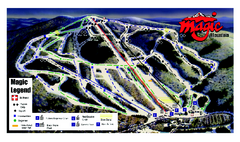
Magic Mountain Ski Trail map
Official ski trail map of Magic Mountain ski area from the 2006-2007 season.
426 miles away
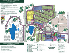
Emerald Lake State Park Map
427 miles away
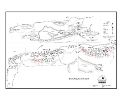
Emerald Lake State Park Campground Map
Campground map of Emerald Lake State Park in Vermont
427 miles away
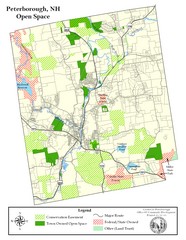
Peterborough Open Space Map
Map of open space lands in Peterborough, New Hampshire
427 miles away

