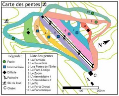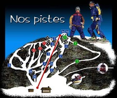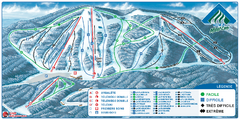
Parc du Mont-Comi Ski Trail Map
Trail map from Parc du Mont-Comi, which provides downhill skiing. This ski area has its own website.
0 miles away
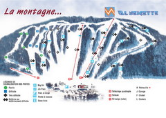
Val Neigette Ski Trail Map
Trail map from Val Neigette, which provides downhill skiing. This ski area has its own website.
15 miles away
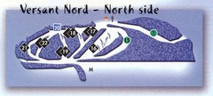
Val D’Irene North Side Ski Trail Map
Trail map from Val D’Irene, which provides downhill and nordic skiing. This ski area has its own...
29 miles away
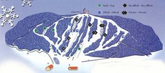
Val D’Irene South Side Ski Trail Map
Trail map from Val D’Irene, which provides downhill and nordic skiing. This ski area has its own...
29 miles away
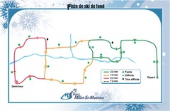
Mont Saint-Mathieu Ski Trail Map
Trail map from Mont Saint-Mathieu, which provides downhill and nordic skiing. This ski area has its...
43 miles away
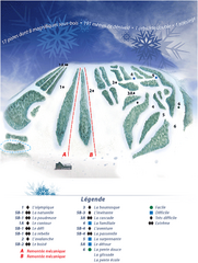
Mont Saint-Mathieu Ski Trail Map
Trail map from Mont Saint-Mathieu, which provides downhill and nordic skiing. This ski area has its...
43 miles away
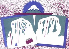
Mont Ti-Basse Ski Trail Map
Trail map from Mont Ti-Basse.
57 miles away
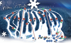
Mont Farlagne Ski Trail Map
Trail map from Mont Farlagne, which provides downhill skiing. This ski area has its own website.
73 miles away
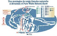
Mont Restigouche Ski Trail Map
Trail map from Mont Restigouche.
74 miles away
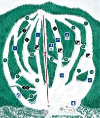
CPA Haute Gaspesie Ski Trail Map
Trail map from CPA Haute Gaspesie, which provides downhill skiing. This ski area has its own...
88 miles away
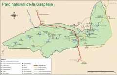
Gaspesie National Park Map - Summer
Official SEPAQ map of Gaspesie National Park in the Gaspe Peninsula, Quebec. Show trails, huts...
95 miles away
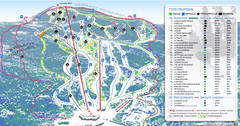
Mont Edouard Ski Trail Map
Trail map from Mont Edouard, which provides downhill skiing. This ski area has its own website.
98 miles away
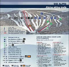
Mont Grand Fonds Ski Trail Map
Trail map from Mont Grand Fonds, which provides downhill and nordic skiing. This ski area has its...
100 miles away
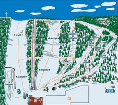
Station plein Air St-Pacome Ski Trail Map
Trail map from Station plein Air St-Pacome, which provides downhill skiing. This ski area has its...
109 miles away
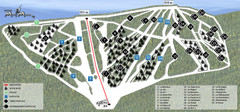
Ski Mont Miller Map
114 miles away
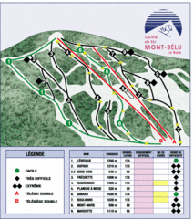
Mont-Bélu Ski Trail Map
Trail map from Mont-Bélu.
122 miles away
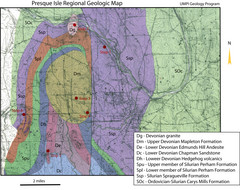
Presque Isle Geologic Map
Presque Isle Geology Field Trip Guide
123 miles away
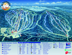
Le Valinouet Ski Trail Map
Trail map from Le Valinouet, which provides downhill and nordic skiing. This ski area has its own...
124 miles away
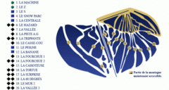
Mont Miller Ski Trail Map
Trail map from Mont Miller, which provides downhill skiing. This ski area has its own website.
128 miles away
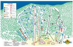
Big Rock Ski Trail Map
Trail map from Big Rock, which provides downhill, night, nordic, and terrain park skiing. It has 5...
136 miles away
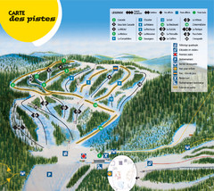
Gallix Ski Trail Map
Trail map from Gallix, which provides downhill skiing. This ski area has its own website.
136 miles away
Mont Fortin Ski Trail Map
Trail map from Mont Fortin. This ski area has its own website.
139 miles away
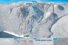
Le Massif Ski Trail Map
Trail map from Le Massif, which provides downhill and nordic skiing. This ski area has its own...
139 miles away
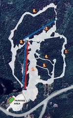
Sugarloaf Ski Hill Ski Trail Map
Trail map from Sugarloaf Ski Hill.
148 miles away
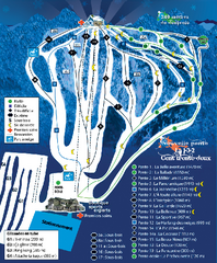
Mont Lac-Vert Ski Trail Map
Trail map from Mont Lac-Vert, which provides downhill skiing. This ski area has its own website.
157 miles away
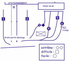
Mont Villa Saguenay Ski Trail Map
Trail map from Mont Villa Saguenay, which provides downhill skiing. This ski area has its own...
158 miles away
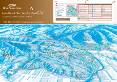
Mont-Sainte-Anne Nordic Ski Trail Map
Trail map from Mont-Sainte-Anne, which provides downhill and nordic skiing. This ski area has its...
159 miles away
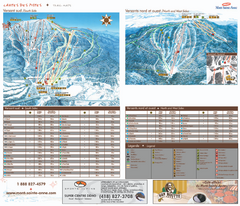
Mont-Sainte-Anne Ski Trail Map
Trail map from Mont-Sainte-Anne, which provides downhill and nordic skiing. This ski area has its...
159 miles away
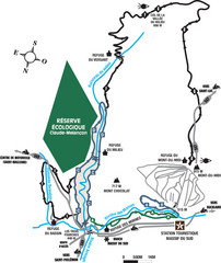
Massif du Sud Nordic Ski Trail Map
Trail map from Massif du Sud, which provides downhill and nordic skiing. This ski area has its own...
167 miles away
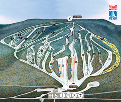
Massif du Sud Ski Trail Map
Trail map from Massif du Sud, which provides downhill and nordic skiing. This ski area has its own...
167 miles away
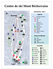
Mont Bechervaise Ski Trail Map
Trail map from Mont Bechervaise, which provides downhill skiing. This ski area has its own website.
169 miles away
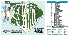
Crabbe Mountain Ski Trail Map
Official ski trail map of Crabbe Mountain ski area. 853 ft vertical, highest in New Brunswick
170 miles away
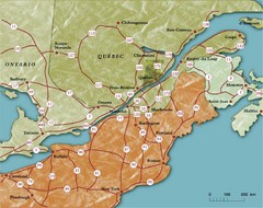
Southern Quebec Tourist Map
170 miles away
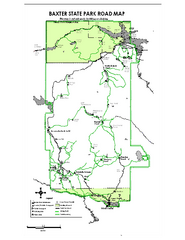
Baxter State Park overview map
Overview map of Baxter State Park. There are 46 mountain peaks and ridges, 18 of which exceed an...
173 miles away
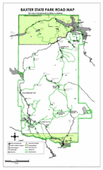
Baxter State Park Road Map
175 miles away
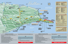
Forillon National Park Map
Official map of Forillon National Park at the tip of the Gaspe Peninsula in Quebec, Canada. Shows...
177 miles away
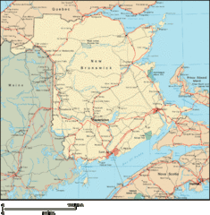
New Brunswick Map
Detailed New Brunswick Map
178 miles away
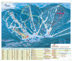
Stoneham Ski Resort Ski Trail Map
Trail map from Stoneham Ski Resort, which provides downhill skiing. This ski area has its own...
179 miles away

