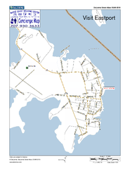
Eastport, Maine, USA Map
Maine Coast Welcome Center's local Map of Eastport, Me with recommended business locations.
316 miles away
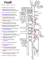
Rockland, Maine Restaurant Map
316 miles away
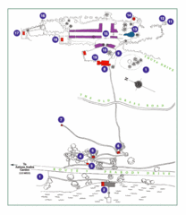
Thuya Garden Map
1. Parking 2. Asticou Terraces Landing 3. Joseph H. Curtis Memorial 4. Stone Lookout 5. Second...
319 miles away
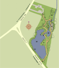
Asticou Azalea Garden Map
1. Parking Area 2. Main Gate 3. Moss Corridor 4. Service Area 5. Heath Garden 6. Sand Garden...
319 miles away
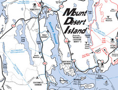
Mt. Desert Island Map
319 miles away

Arnprior Downtown Map
Arnprior, Ontario, Canada
319 miles away
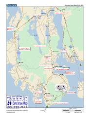
Southwest Harbor, Maine Map
Maine Coast Welcome Center's local Map of Southwest Harbor, Me with recommended business...
319 miles away
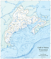
Gulf of Maine Watershed Map
Gulf of Maine watershed map without political boundaries showing major river basins. Shows entire...
319 miles away
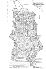
Frye Island Watershed Boundary Map
320 miles away
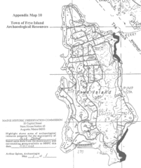
Frye Island Archaeological Map
320 miles away
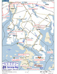
Blue Hill Peninsula, Maine, US Map
Maine Coast Welcome Center's local Map of the Blue Hill Peninsula, Me with recommended...
320 miles away

Olympic Scenic Byway Map
Overview map showing the length of the Olympic Scenic Byway, which runs from Lake Ontario (Sackett...
321 miles away

Middlebury Snow Bowl Ski Trail map
Official ski trail map of Middlebury College Snow Bowl ski area.
322 miles away
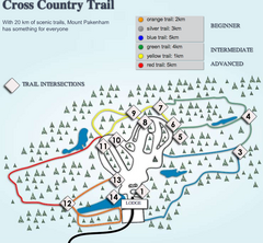
Mount Pakenham Nordic Ski Trail Map
Trail map from Mount Pakenham, which provides downhill and nordic skiing. This ski area has its own...
323 miles away
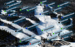
Mount Pakenham Ski Trail Map
Trail map from Mount Pakenham, which provides downhill and nordic skiing. This ski area has its own...
323 miles away
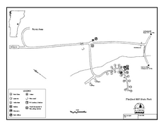
Thetford State Park Campground Map
Campground map for Thetford Hill State Park in Vermont
323 miles away
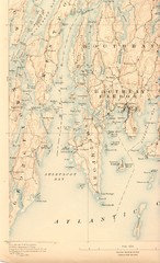
Boothbay Island Map
Topographical map of Boothbay Island and surrounding areas
324 miles away
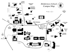
Holderness School Campus Map
A Campus Map of the Holderness School
324 miles away
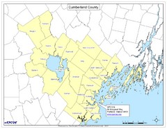
Cumberland County Map
Map showing all city divisions of Cumberland County, Maryland with specific location of the CPCOG.
324 miles away
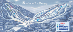
Dartmouth Skiway Ski Trail Map
Trail map from Dartmouth Skiway.
324 miles away
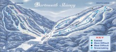
Dartmouth Skiway Trail Map
Official ski trail map of the Dartmouth Skiway. The Skiway is owned by Dartmouth College. Over...
324 miles away
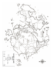
Swan's Island, ME Map
325 miles away
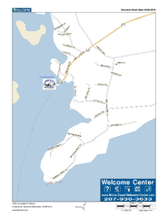
Port Clyde, Maine, USA Map
Maine Coast Welcome Center's local Map of Port Clyde, Me with recommended business locations.
325 miles away
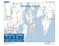
Boothbay Area, Maine, USA Map
Maine Coast Welcome Center's local Map of the Boothbay, Maine area with recommended business...
325 miles away
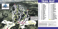
Tenney Mountain Ski Trail Map
Trail map from Tenney Mountain.
325 miles away
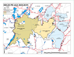
Adirondacks Canoeing Map
Guide to canoeing in the Adirondacks
326 miles away
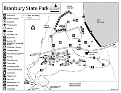
Branbury State Park map
Campground map of Branbury State Park in Vermont
326 miles away
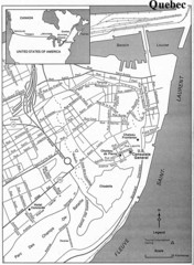
Quebec Tourist Map
328 miles away
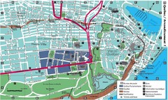
Quebec Tourist Map
328 miles away

Ogdensburg, New York Historical Map
A wonderful highlight are the art reproductions of homes and buildings which surround the map...
328 miles away
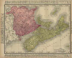
Nova Scotia Map 1896
Nova Scotia and New Brunswick map, 1896
329 miles away
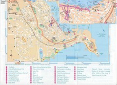
Falmouth Map
Map of Falmouth town and bay. Includes roads, parks, accommodations and attractions.
329 miles away
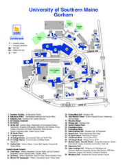
University of Southern Maine - Gorham Map
331 miles away
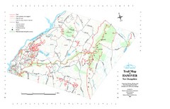
Hanover Trail Map
Recreation trails in Hanover
331 miles away
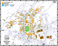
Dartmouth College campus map
Map of Dartmouth College. Shows all academic, administration, residential, and athletic buildings.
331 miles away
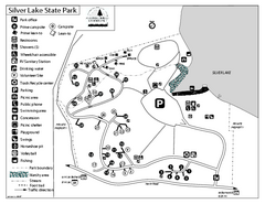
Silver Lake State Park Campground Map
Campground map of Silver Lake State Park in Vermont
332 miles away
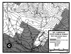
Cardigan State Park map
Topographical map of West Side hiking trails in Cardigan State Park in New Hampshire.
333 miles away
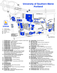
University of Southern Maine - Portland Map
333 miles away
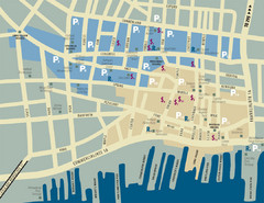
Portland, Maine Tourist Map
333 miles away

