
Hammonasset Beach State Park campground map
Campground map of Hammonasset State Park in Connecticut.
500 miles away

Digital Elevation Model (DEM) of Conesus Lake Map
Digital Elevation Model (DEM) of Conesus Lake Map created in ARC Gis
500 miles away
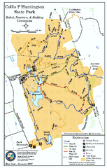
Collis P. Huntington State Park map
Trail map of Collis P. Huntington State Park in Connecticut
502 miles away
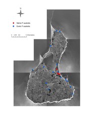
Native and Exotic Phragmites on Block Island Map
502 miles away
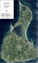
Block Island Aerial Map
Aerial map of Block Island, RI (New Shoreham, RI). True color orthophotography from August 2006.
502 miles away
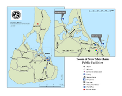
Block Island Road Map
Shows roads and major facilities on Block Island, RI (New Shoreham)
502 miles away
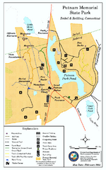
Putnam Memorial State Park map
Trail map for Putnal Memorial State Park in Connecticut,
502 miles away
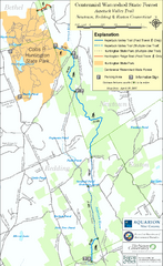
Centennial Watershed State Forest trail map
Trail map of Centennial Watershed State Forest in Connecticut
502 miles away

Hunt Hollow Ski Trail Map
Trail map from Hunt Hollow.
502 miles away
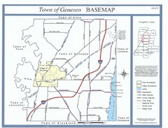
Geneseo Town Map
503 miles away
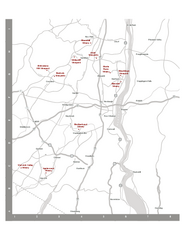
Shawangunk Wine Trail Map
Map of the Shawangunk Wine Trail on the Hudson River in New York. Shows all vineyards and wineries...
504 miles away
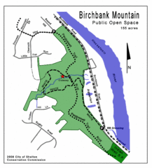
Birchbank Park Map
Several miles of moderately difficult trails along the Housatonic River bluff, including the...
504 miles away
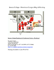
Seneca College - Newnham Campus Map
Seneca College - Newnham Campus Map. Located in Toronto, Canada. Shows all areas.
504 miles away
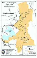
Seth Low Pierrepont State Park Reserve map
Trail map of Seth Low Pierreport State Park in Connecticut.
504 miles away
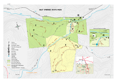
Salt Springs State Park map
Detailed recreation map of Salt Spring State Park in Pennsylvania.
505 miles away
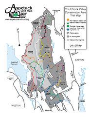
Trout Brook Valley Map
507 miles away
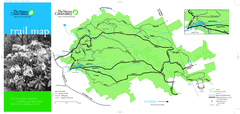
Devil's Den Preserve Map
508 miles away
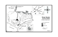
Silver Sands State Park map
Trail and campground map of Silver Sands State Park in Connecticut.
508 miles away
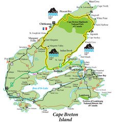
Cabot Trail Map
Map of famous Cabot Trail driving tour of Cape Breton Island, Nova Scotia. Part of the Cabot Trail...
510 miles away
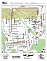
Moore Park Tourist Map
510 miles away
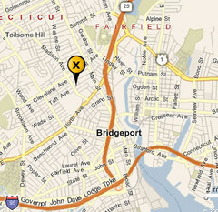
Bridgeport, Connecticut City Map
510 miles away
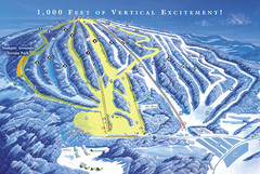
Elk Mountain Ski Trail Map
Trail map from Elk Mountain.
510 miles away
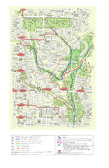
Toronto Brickworks Trail Map
Trail map of area around the Brickworks in Toronto, Canada
510 miles away
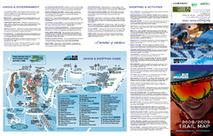
Blue Mountain Ski Trail Map
Trail map from Blue Mountain, which provides downhill skiing. This ski area has its own website.
511 miles away
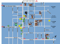
Cabbagetown Tour of Houses Map
511 miles away
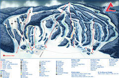
Craigleith Ski Club Ski Trail Map
Trail map from Craigleith Ski Club, which provides downhill skiing. This ski area has its own...
511 miles away
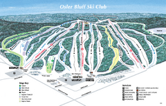
Osler Bluff Ski Club Ski Trail Map
Trail map from Osler Bluff Ski Club, which provides downhill skiing. This ski area has its own...
511 miles away
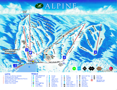
Alpine Ski Club Ski Trail Map
Trail map from Alpine Ski Club, which provides downhill skiing. This ski area has its own website.
511 miles away
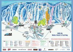
Blue Mountain Ski Trail Map
Official ski trail map of Blue Mountain ski area from the 2005-2006 season.
511 miles away
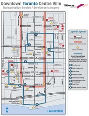
Downtown Toronto Tourist Map
511 miles away
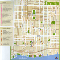
Toronto Tourist Map
511 miles away
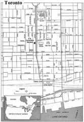
Toronto Tourist Map
511 miles away
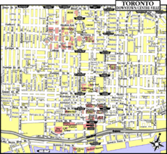
Toronto Tourist Map
511 miles away
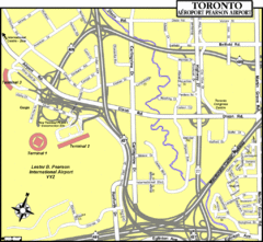
Toronto Airport Map
511 miles away
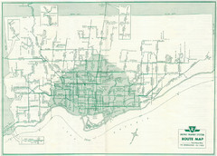
1962 Transit Toronto Guide Map
511 miles away
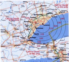
Transportation Rates in Toronto Map
Travel rates in Toronto, Canada
511 miles away
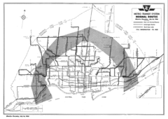
1954 Metro Transit System Map
511 miles away
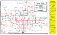
1952 Totonto Transit System Map
511 miles away
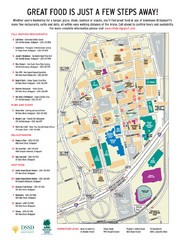
Arena at Harbor Yard Restaurants Map
List of many delicious restaurants and eateries.
512 miles away
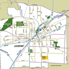
Lockport, New York Map
Map of downtown Lockport, New York, with parks, hospitals, and other points of interest shown.
512 miles away

