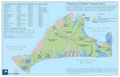
Martha's Vineyard Watershed Map
489 miles away
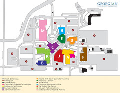
Georgian College Map
489 miles away

Cockaponset State Forest South Section trail map
Trail map for the South Section of Cockaponset State Forest in Connecticut.
489 miles away
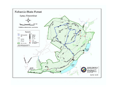
Nehantic State Forest map
Trail map of Nehantic State Forest in Connecticut.
490 miles away
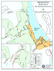
Squantz Pond State Park map
Trail and campground map for Squantz Pond State Park in Connecticut.
491 miles away
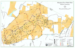
Sleeping Giant State Park map
Trail map for Sleeping Giant State Park in Connecticut.
492 miles away
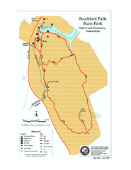
Southford Falls State Park map
Trail map for Southford Falls State Park in Connecticut.
492 miles away
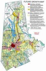
Danbury Regional Growth Map
Guide to future growth of Danbury, CT and surrounds
492 miles away
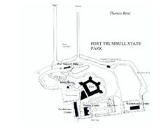
Fort Trumbull State Park map
Map of Fort Trumbull State Park in Connecticut.
492 miles away
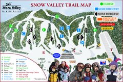
Ski Snow Valley Barrie Ski Trail Map
Trail map from Ski Snow Valley Barrie, which provides downhill skiing. This ski area has its own...
492 miles away
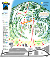
Thunder Ridge Ski Trail Map
Trail map from Thunder Ridge.
493 miles away
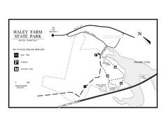
Haley Farm State Park map
Trail map of Haley Farm State Park in Connecticut.
493 miles away
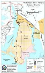
Bluff Point State Park map
Trail map for Bluff Point State Park and Coastal Reserve.
493 miles away
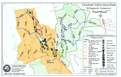
Chatfield Hollow State Park map
Trail map of Chatfield Hollow State Park
493 miles away

Bristol Mountain Ski Resort Ski Trail Map
Trail map from Bristol Mountain Ski Resort.
494 miles away
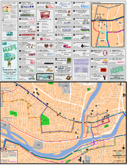
Binghampton Bus Route Map
494 miles away
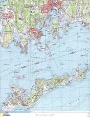
Fishers Island Map
In Long Island Sound
494 miles away
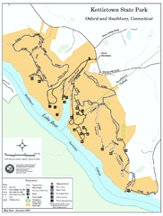
Kettletown State Park trail map
Trail map for Kettletown State Park in Connecticut.
495 miles away
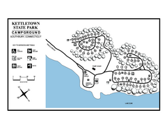
Kettletown State Park campground map
Campground map for Kettletown State Park in Connecticut.
495 miles away
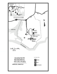
Harkness Memorial State Park map
Trail map of Harkness Memorial State Park in Connecticut.
495 miles away
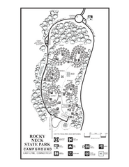
Rocky Neck State Park campground map
Campground map of Rocky Neck State Park in Connecticut.
495 miles away
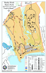
Rocky Neck State Park trail map
Trail map of Rocky Neck State Park in Connecticut.
495 miles away
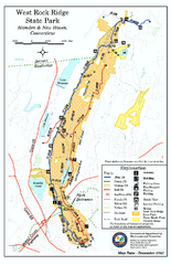
West Rock Ridge State Park map
Trail map of West Rock Ridge State Park in Connecticut.
496 miles away
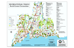
South Central Connecticut Recreational Trail Map
Map of South Central Connecticut showing all recreational trails and open spaces.
497 miles away
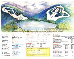
Mount Tone Ski Trail Map
Trail map from Mount Tone.
497 miles away
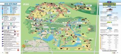
Toronto Zoo Map
Official map of the Toronto Zoo
497 miles away
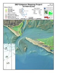
Esther Island Map
DEP Eelgrass map of Esther Island, Nantucket
497 miles away
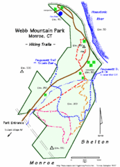
Webb Moutain Park Map
497 miles away
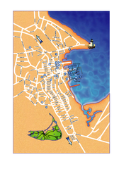
Nantucket Town Street Map
Tourist map of town of Nantucket on Nantucket Island. Shows major streets and points of interest...
498 miles away
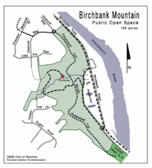
Birchbank Park Map
498 miles away
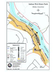
Indian Well State Park map
Trail map for Indian Well State Park in Connecticut.
499 miles away
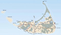
Tourist Map of Nantucket Island
Tourist map of Nantucket Island. Shows all towns and information.
499 miles away
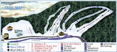
Holiday Mountain Ski Trail Map
Official ski trail map of Holiday Mountain ski area
499 miles away
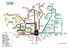
Guilford Bus Services Map
499 miles away
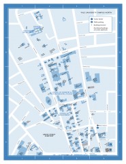
Yale University Campus North Map
Yale University Campus Map - North Campus, including School of Forestry & Environmental Studies...
499 miles away
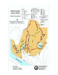
Osbornedale State Park map
Trail map of Osborndale State Park in Connecticut.
499 miles away
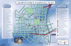
Downtown New Haven Parking Map
Shows locations of all town parking lots and also points of interest
500 miles away

Yale University Map
500 miles away
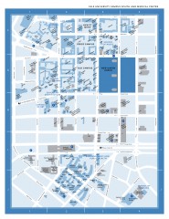
Yale University Campus South and Medical Center...
Yale University Campus South and Medical Center, including the Hewitt Quad, Cross Campus, Old Campus
500 miles away

Hammonasset Beach State Park map
Trail map for Hammonasset Beach State Park in Connecticut.
500 miles away

