
Salmon River State Forest trail map
Trail map for Salmon River State Forest in Connecticut.
479 miles away
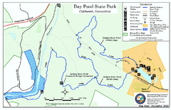
Daypond State Park map
Trail map for Day Pond State Park
479 miles away
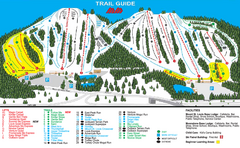
Mount St. Louis/ Moonstone Ski Trail Map
Trail map from Mount St. Louis/ Moonstone, which provides downhill skiing. This ski area has its...
480 miles away
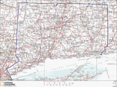
Connecticut State Parks Map
This is statewide map for Connecticut state parks. Go to the source website for detailed hiking...
480 miles away
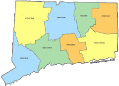
Connecticut Counties Map
481 miles away
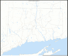
Connecticut Zip Code Map
Check out this Zip code map and every other state and county zip code map zipcodeguy.com.
481 miles away
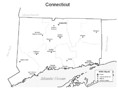
Conneticut Airports Map
481 miles away
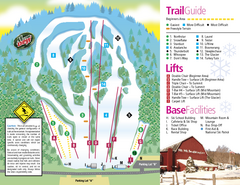
Mt. Southington Ski Area Ski Trail Map
Trail map from Mt. Southington Ski Area, which provides downhill, night, and terrain park skiing...
481 miles away
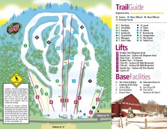
Mount Southington Ski Trail Map
Official ski trail map of Mount Southington ski area from the 2007-2008 season.
481 miles away
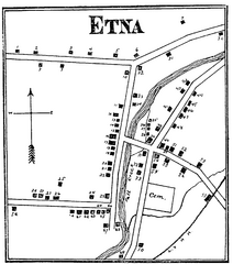
Etna 1897 City Map
Key to the Map of Etna (1897) 1. Mrs. C. Turner. 38. Blacksmith Shop. 2. J. T. Primrose. 39. Houtz...
481 miles away
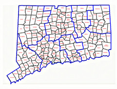
Connecticut Town Map
481 miles away
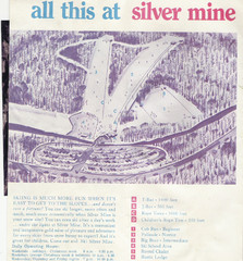
Silver Mine Credit to chris lundquist Ski Trail...
Trail map from Silver Mine, which provides downhill skiing.
481 miles away
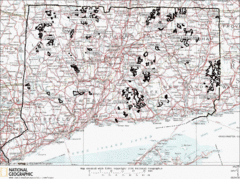
Connecticut State Forests Map
This is a map of all of the state forest boundaries in Connecticut. Follow the source web address...
482 miles away
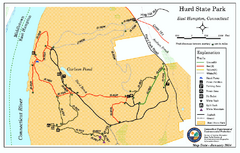
Hurd State Park trail map
Trail map for Hurd State Park in Connecticut.
483 miles away

Ski Lakeridge Ski Trail Map
Trail map from Ski Lakeridge, which provides downhill skiing. This ski area has its own website.
483 miles away
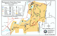
Wadsworth Falls State Park map
Trail map of Wadsworth Falls State Park in Connecticut.
483 miles away
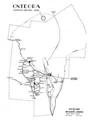
Onteora District Map
Boy Scouts Map of Onteora
483 miles away
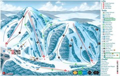
Heights of Horseshoe Ski Trail Map
Trail map from Heights of Horseshoe, which provides downhill skiing. This ski area has its own...
483 miles away
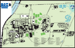
Rochester Institute of Technology Campus Map
Map of RIT campus.
483 miles away

Ski Dagmar Ski Trail Map
Trail map from Ski Dagmar, which provides downhill and nordic skiing. This ski area has its own...
483 miles away
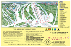
Horseshoe Resort Ski Trail Map
Trail map from Horseshoe Resort, which provides downhill and nordic skiing. This ski area has its...
483 miles away
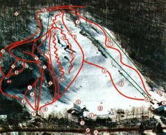
Woodbury Ski Area Ski Trail Map
Trail map from Woodbury Ski Area, which provides downhill, night, nordic, and terrain park skiing...
484 miles away
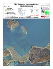
Penekese Island Eelgrass Map
484 miles away
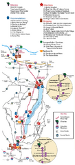
Canadaigua Wine Trail Map
Map of the Canadaigua Wine Map in Canadaigua, New York. Shows all wineries and vineyards in the...
484 miles away
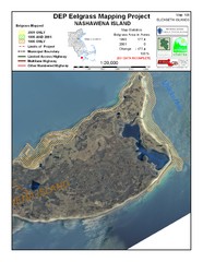
Nashawena Island Eelgrass Map
484 miles away
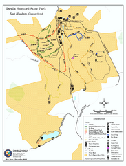
Devils Hophard State Park map
Trail and camprground map for Devils Hopyard State Park in Connecticut.
485 miles away
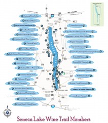
Seneca Lake Wine Trail Map
Winery tour map of Seneca Lake area in New York. Shows all vineyards that are members of the wine...
485 miles away
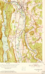
New Milford, Connecticut Map
New Milford, Connecticut topo map with roads, streets and buildings identified
485 miles away
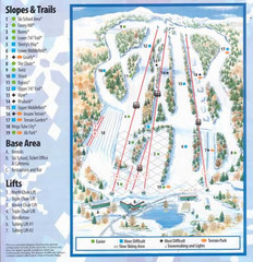
Powder Ridge Ski Area Ski Trail Map
Trail map from Powder Ridge Ski Area.
485 miles away
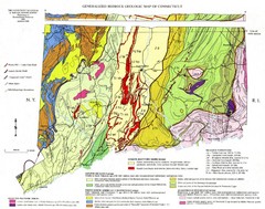
Connecticut Geologic Map
Geologic map of Connecticut bedrock. Shows shaded terranes, fault lines, and Mesozoic formations.
485 miles away
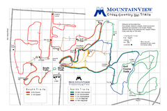
Mountain View Nordic Ski Trail Map
Trail map from Mountain View, which provides downhill and nordic skiing. This ski area has its own...
486 miles away
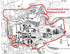
Map of Water contamination at Cornell University...
486 miles away
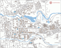
Cornell Campus Map
Map of Cornell University's Ithaca campus
486 miles away

Cornell University Map
486 miles away
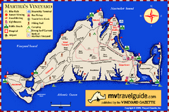
Martha's Vineyard Island Map
Tourist map of island of Martha's Vineyard, Massachusetts.
486 miles away
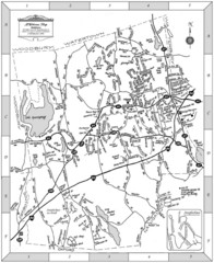
Middlebury, Connecticut Map
487 miles away

Cockaponset State Forest North Section trail map
Trail map for the north section of Cockaponset State Forest in Connecticut
487 miles away

Georgina Historic Lakeshore Communities Map
488 miles away
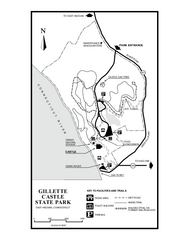
Gillette State Park trail map
Trail map of Gillette Castle State Park in Connecticut.
488 miles away
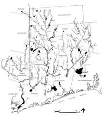
Rhode Island Coastal Watershed Map
Paddling Guide of Pawcatuck River Watershed
489 miles away

