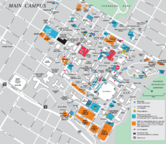
Syracuse University Campus Map
Map of the Syracuse University Campus. Includes buildings, parking, streets, and location of the...
442 miles away
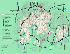
Brimfield State Forest trail map
Trail map of Brimfield State Forest in Massachusetts
442 miles away

Mine Brook Wildlife Management Area Map
442 miles away
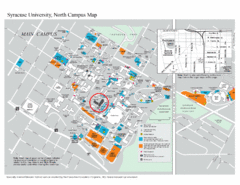
Syracuse University, North Campus Map
Campus map of Syracuse University, North Campus. Maxwell School of Executive Education is...
442 miles away
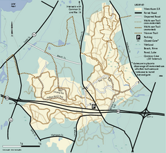
Wrentham State Forest trail map
Trail map of Wrentham State Forest in Massachusetts.
442 miles away
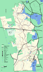
Douglas State Forest trail map
Trail map of the Douglas State Forest in Massachusetts
442 miles away
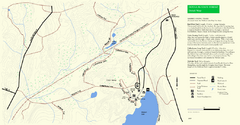
Douglas State Park Detail Map
443 miles away
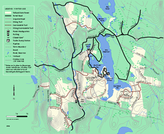
Tolland State Forest winter trail map
Winter usage trail map of the Tolland State Forest area in Massachusetts.
443 miles away
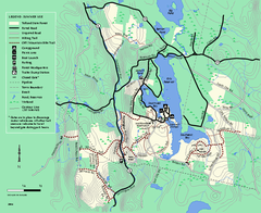
Tolland State Forest summer trail map
Summer use map for Tolland State Forest in Massachusetts.
443 miles away
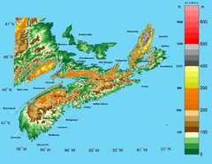
Nova Scotia Elevation Map
Nova Scotia Elevation Map with color elevation markings
444 miles away
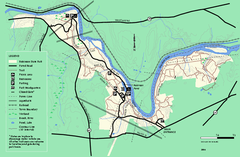
Robinson State Park trail map
Trail map of Robinson State Park in Massachusetts.
444 miles away
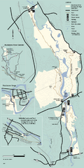
Blackstone Trail Map
Map of Blackstone River State Park in Massachusetts.
444 miles away
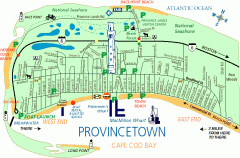
Provincetown, Massachusetts Map
Tourist map of Provincetown, Massachusetts. Shows beaches, visitor's center, bike trails, and...
444 miles away
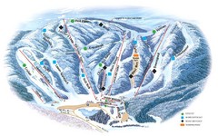
Butternut Ski Area Ski Trail Map
Trail map from Butternut Ski Area.
445 miles away
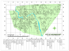
Woonsocket Street Map
Street map of Woonsocket, Rhode Island. Shows street legend.
445 miles away
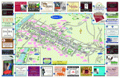
Hudson Tourist Map
Tourist map of Hudson, New York showing all tourist points of interest. Ads around border.
445 miles away
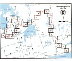
Ganaraska Hiking Trail Map
Map of the hiking trail at Ganaraska forest in Canada. Shows roads, surrounding lakes, towns and...
446 miles away

Six Flags New England Theme Park Map
Official Park Map of Six Flags New England in Massachusetts.
446 miles away
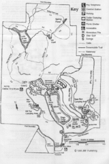
Gilbert Lake State Park Map
446 miles away
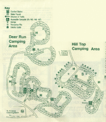
Gilbert Lake State Park Camping Map
447 miles away
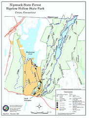
Bigelow Hollow State Park trail map
Trail map of Bigelow Hollow State Park in Connecticut.
447 miles away
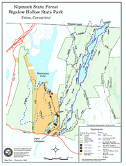
Nipmuck State Forest trail map
Trail map of Nipmuck State Forest and Bigelow Hollow State Park in Connecticut.
447 miles away
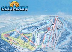
Catamount Ski Trail Map
Official ski trail map of Catamount ski area from the 2006-2007 season.
447 miles away
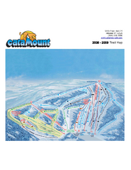
Catamount Ski Area Ski Trail Map
Trail map from Catamount Ski Area.
447 miles away
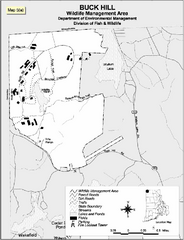
Buck Hill Wildlife Management Area Map
447 miles away
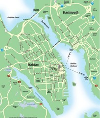
Halifax Area Map
Streets, roads and points of interest are all clearly marked on this map.
448 miles away
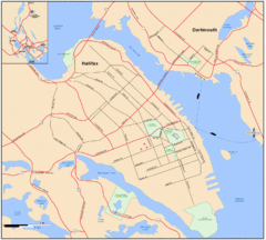
Halifax Dartmouth Map
Guide to the Halifax and Dartmouth Region
448 miles away
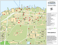
Halifax Tourist Map
Tourist map of downtown Halifax, Nova Scotia, Canada. Shows waterfront walking trail and points of...
448 miles away

Halifax Nova Scotia Map 1894
Anitque map of Halifax, Nova Scotia from The Dominion of Canada, with Newfoundland and an Excursion...
448 miles away
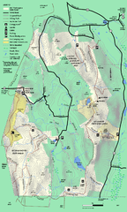
Mt. Washington State Forest trail map
Trail map of Mt. Washington State Forest
448 miles away
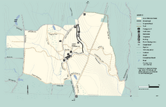
Granville State Forest trail map
Trail map of Granville State Forest in Massachusetts
449 miles away
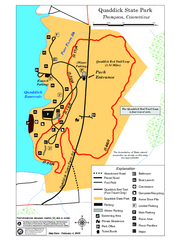
Quaddick State Park Trail Map
449 miles away
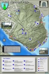
Point Pleasant Park Map
Thematic Map of Point Pleasant Park with park exhibits marked. Trails and distances marked as well.
449 miles away
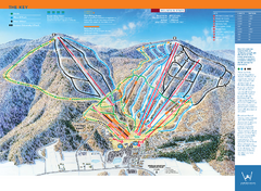
Windham Mountain Ski Trail Map
Trail map from Windham Mountain.
450 miles away
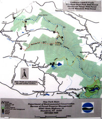
Northern Catskill Trail Map
Trail map shows hiking trails in the northern Catskills of New York. Shows trails in Windham High...
450 miles away
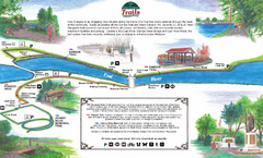
New Glasglow Town Trail Map
Walking trail map of trails in New Glasglow, Nova Scotia. Shows 3 trails: Samson Trail, Pioneer...
450 miles away
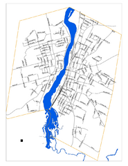
New Glasglow Street Map
Street map of town of New Glasglow, Nova Scotia
450 miles away
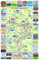
Columbia County - Boston Corners, Copake, Copake...
Tourist map of Columbia County, Mass. Includes towns of Boston Corners, Copake, Copake Falls...
450 miles away
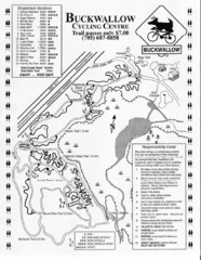
Buckwallow Trail Map
Biking trail map for Buckwallow Cycling Center
450 miles away

