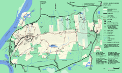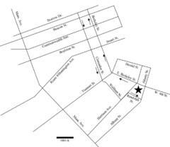
Rotch Field Location Map
Directions to Rotch Playing Field in Boston Common.
422 miles away
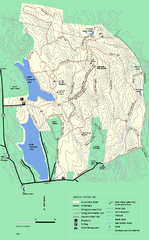
DAR State Forest winter map
Winter use map of the Daughters of the American Revolution State Forest.
422 miles away
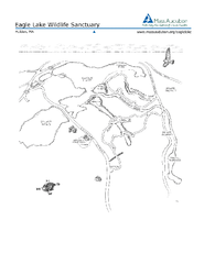
Eagle Lake Conservation Area Map
422 miles away
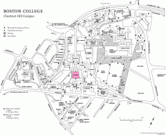
Boston College Chestnut Hill Campus Map
campus map for Boston College's Chestnut Hill Camps
422 miles away
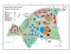
Boston College - Chestnut Hill Campus Map
Boston College - Chestnut Hill Campus Map. Shows all buildings.
422 miles away
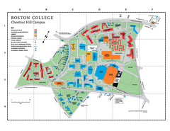
Boston College Main Chestnut Hill Campus Map
The main campus of Boston College, Chestnut Hill. Grid Map with Building Table
422 miles away
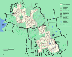
Callahan State Park trail map
Trail map of Callahan State Park in Massachusetts
422 miles away
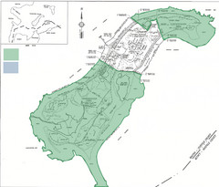
Thompson Island Easement Map
Map of Thompson Island easement. Includes roads, buildings, trails and attractions as well as the...
423 miles away
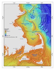
Massachusetts Bay sea floor Map
423 miles away
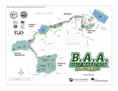
Boston Athletic Association Half Marathon Map
Guide to the Boston Half Marathon, organized by the Boston Athletic Association
423 miles away
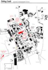
University of Massachusetts Amherst Parking Map
Map of the University of Massachusetts. Includes all buildings, streets, and parking information.
423 miles away

Batawa Ski Trail Map
Trail map from Batawa, which provides downhill skiing. This ski area has its own website.
423 miles away
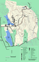
DAR State Forest summer map
Summer use map of the Daughters of the American Revolution state forest.
424 miles away

Jamaica Plain Bus Route Map
424 miles away
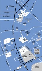
Downtown Amherst, Massachusetts Map
Tourist map of downtown Amherst, Massachusetts, showing attractions, government buildings, atms...
424 miles away
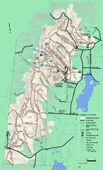
Pittsfield State Forest winter trail map
Winter use trail map of Pittsfield State Forest in Massachusetts.
424 miles away
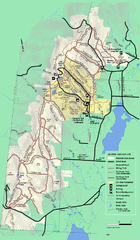
Pittsfield State Forest summer trail map
Summer use trail map of Pittsfield State Forest in Massachusetts.
424 miles away
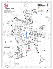
University of Massachusetts - Amherst Map
Campus Map of the University of Massachusetts - Amherst. All buildings shown.
424 miles away
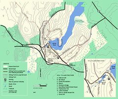
Moore State Park trail map
Trail map of Moore State Park in Massachusetts.
425 miles away
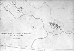
1870s Map of Wellesley College
General plan of college grounds, 1870s.
425 miles away
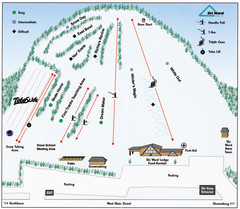
Ski Ward Ski Trail Map
Trail map from Ski Ward.
425 miles away
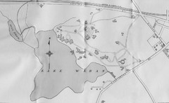
1899 Map of Wellesley College
After College Hall, the original site of Wellesley's faculty, students, classrooms, and...
425 miles away
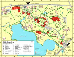
Wellesley College campus map
2008 Wellesley College campus map
425 miles away
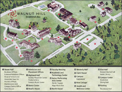
Walnut Hill School Map
Campus Map
425 miles away
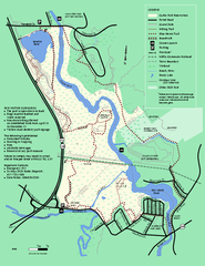
Cutler Park Reservation trail map
Trail map of Cutler Park Reservation in Massachusetts
426 miles away
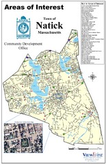
Natick Areas Of Interest Map
Shows points of interest in town of Natick, Massachusetts. Inset of downtown Natick.
426 miles away
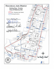
Pittsfield,, Massachusetts City Map
426 miles away
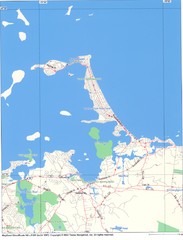
Hull Town Map
426 miles away
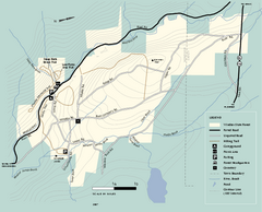
Windsor State Forest trail map
Trail map of Windsor State Forest in Massachusetts.
426 miles away
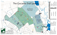
Cascades Park Map
426 miles away
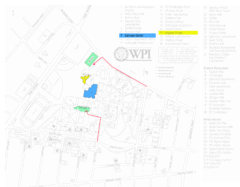
Worcester Polytechnic Institute Campus Map
Map of Worcester Polytechnic Institute. Includes all buildings, parking, streets, and location of...
427 miles away
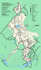
Stony Brook Reservation trail map
Trail map of the Stony Brook Reservation in Massachusetts.
427 miles away
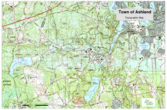
Ashland, MA - Topo Map
Map is provided by the town of Ashland, MA. See town's website for additional maps and...
427 miles away
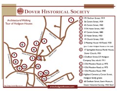
Dover Architectural Walking Map
Architectural walking tour of Hodgson Houses
428 miles away
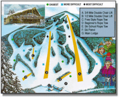
Bousquet Ski Area Ski Trail Map
Trail map from Bousquet Ski Area.
428 miles away
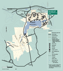
Hopkinton State Park trail map
Trail map of Hopkinton State Park in Massachusetts
428 miles away
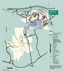
Hopkinton State Park trail map
Trail map of Hopkinton State Park in Massachusetts
428 miles away
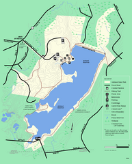
Ashland State Park Map
Clear map and legend marking trails, parking, facilities and more.
429 miles away
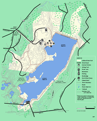
Ashland State Park Map
Map of Ashland State Park in Massachusetts.
429 miles away

