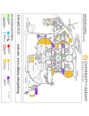
University at Albany Map
Campus Map of the University at Albany. All buildings shown.
418 miles away
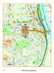
Albany downtown map
Road map of downtown Albany, NY. Shows city parks and New York State government buildings.
418 miles away
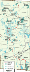
Midstate Trail Map
Map of the Midstate Trail, which runs from Ashburnham to the Rhode Island border. Shows state...
418 miles away
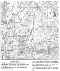
Trout Brook Conservation Area Map
419 miles away
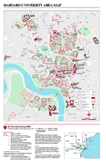
Harvard University campus map
Harvard University campus map
419 miles away
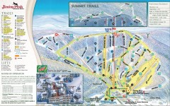
Jiminy Peak Ski Trail Map
Official ski trail map of Jiminy Peak ski area from the 2007-2008 season.
419 miles away
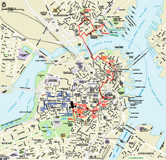
Boston National Historical Park Official Park Map
Official NPS map of Boston National Historical Park in Boston, Massachusetts. From park brochure...
419 miles away
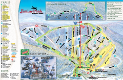
Jiminy Peak Resort Ski Trail Map
Trail map from Jiminy Peak Resort.
419 miles away
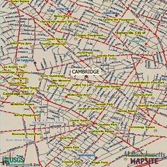
Cambridge, Massachusetts Map
419 miles away
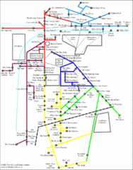
Cambridge Pub Map
419 miles away
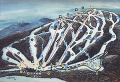
Brodie Ski Trail Map
Trail map from Brodie.
419 miles away
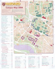
Harvard University Map
Campus map
419 miles away
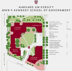
John F. Kennedy School of Government Campus Map
Campus map of the Harvard University John F. Kennedy School of Government in Cambridge...
419 miles away
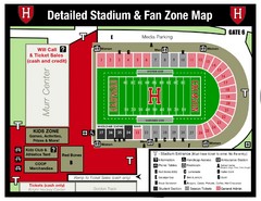
Harvard Stadium Map
Beautiful map of the horse-shoe shaped stadium of Harvard University.
420 miles away
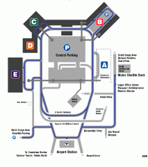
Boston/General Edward Lawrence Logan...
Terminal map of Boston/General Edward Lawrence Logan International Airport. Shows all areas.
420 miles away
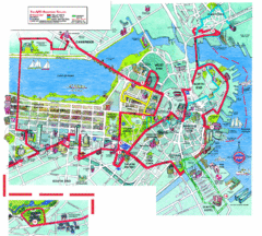
Boston Beantown Trolley Route Map
Route Map for the Boston Beantown trolley. Shows the trolley route, all stops, and a colorful...
420 miles away
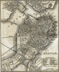
Antique map of Boston from 1842
Antique map of Boston from Tanner, H.S. The American Traveller; or Guide Through the United States...
420 miles away
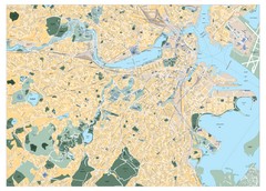
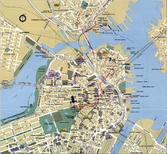
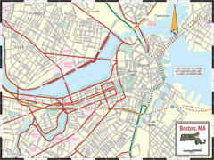
Boston, Massachusetts City Map
420 miles away
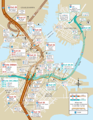
I-93 & I-90 Boston Map
Detail of exits and on-ramps for downtown Boston.
420 miles away
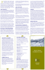
Mt. Pisgah Map - Northboro, Berlin, Boylston Mass
420 miles away
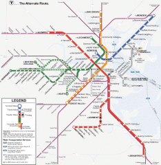
Boston Subway T Map
Massachusetts Bay Transportation Authority (MBTA) map of the Boston T subway system. Includes...
420 miles away
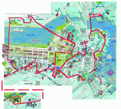
Boston 'Beantown Trolley' map
Tourist map of Boston, Mass. showing route of the Beantown Trolley, various points of interest and...
420 miles away
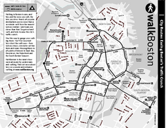
Walking Map of Boston, Massachusetts
Tourist map of Boston, Massachusetts, showing walking routes and times, as well as museums, squares...
420 miles away
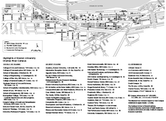
Boston University Charles River Campus Map
Campus map of Boston University. Charles River Campus. All areas shown.
420 miles away
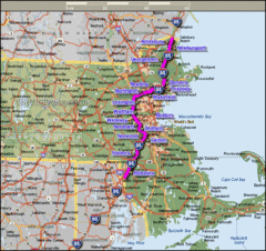
Interstate 95 Cities in Massachusetts Map
420 miles away
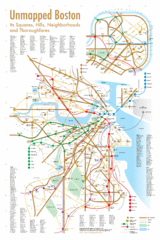
Boston Neighborhood Map
420 miles away
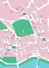
Boston Neighborhood Map
420 miles away
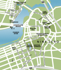
Central Boston Tourist Map
420 miles away
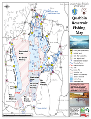
Quabbin Reservoir Fishing Map
Fishing access map of Quabbin Reservoir. Shows all ponds and submerged ponds.
420 miles away
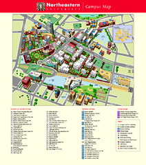
Northeastern University Map
Northeastern University Campus Map. All areas shown.
421 miles away
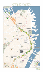
Rose Fitzgerald Kennedy Greenway Map
Boston's extensive heritage of parklands and common ground includes the Emerald Necklace...
421 miles away
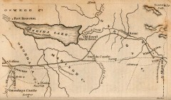
Antique map of Utica, NY from 1830
Map of Utica, NY from The Northern Traveller, and Northern Tour; with the Routes to The Springs...
421 miles away
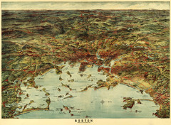
Walker's Map of Boston Harbor and Environs...
Walker's map of Boston Harbor and immediate environs from 1905.
421 miles away
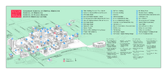
Boston University Medical Campus and Boston...
Boston University Medical Campus and Boston Medical Center area map. All buildings shown.
421 miles away
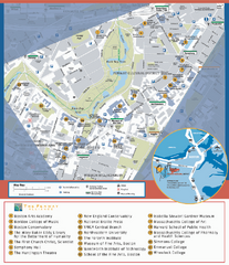
Fenway Cultural District Map
Map of the Fenway Cultural District. Shows schools, museums, libraries, and other cultural points...
421 miles away
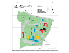
Boston College - Newton Campus Map
Boston College - Newton Campus Map. Shows all buildings.
422 miles away
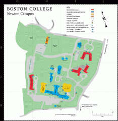
Boston College Newton Campus Map
campus map for Boston College Newton Campus
422 miles away

